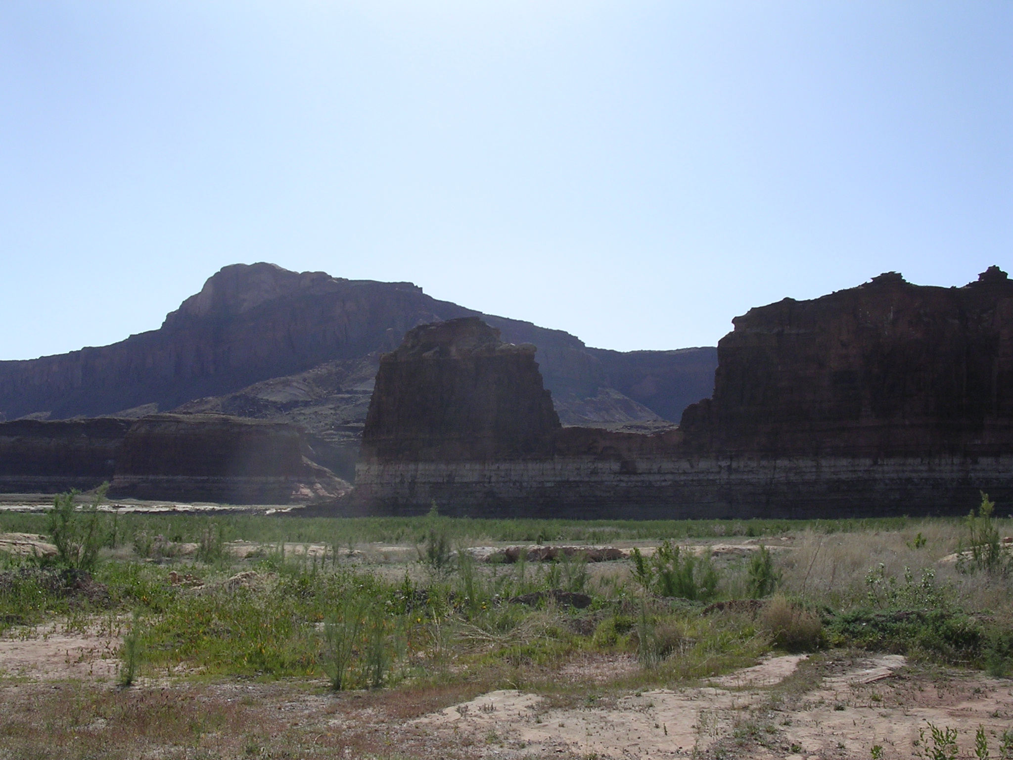
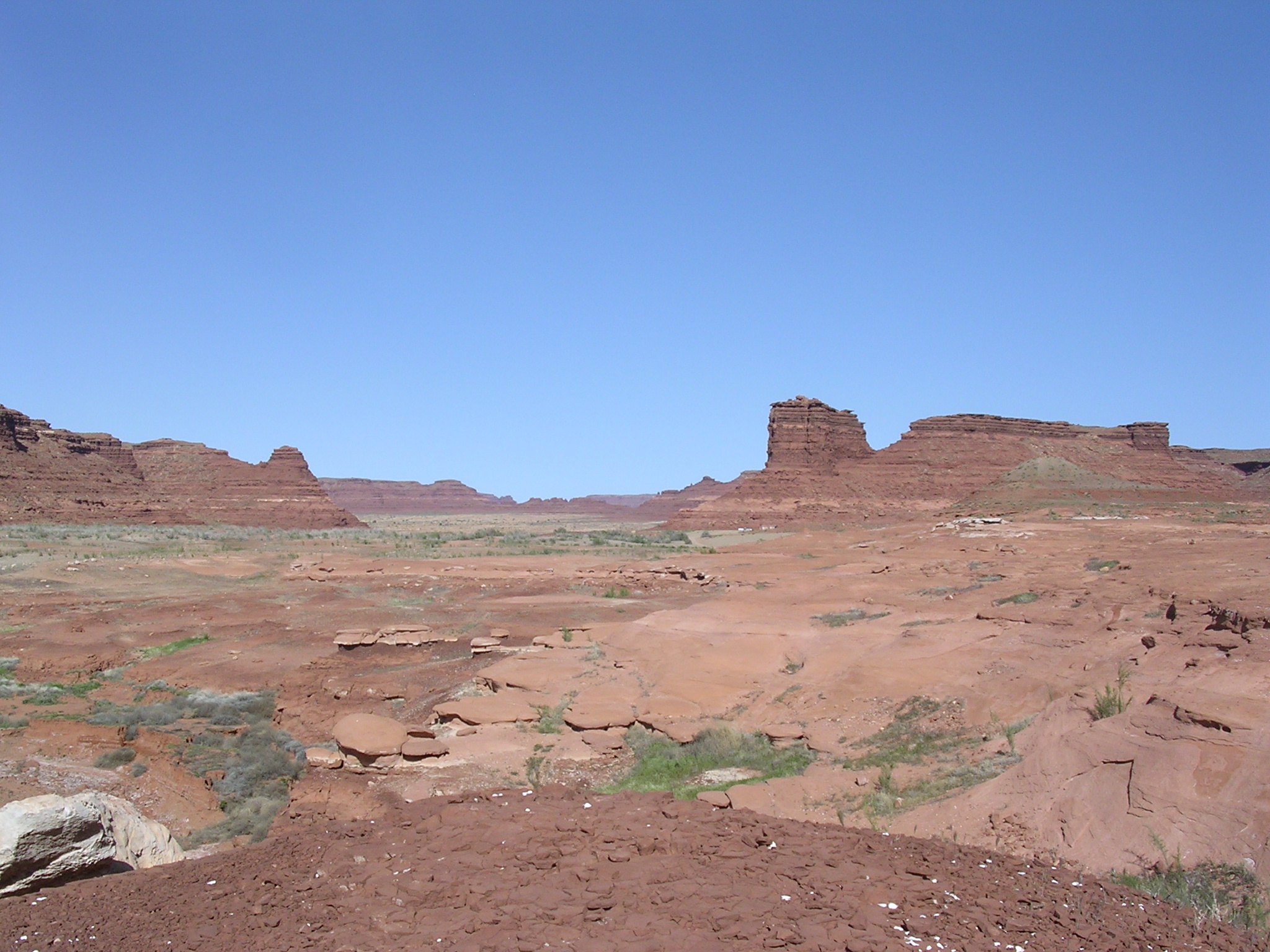
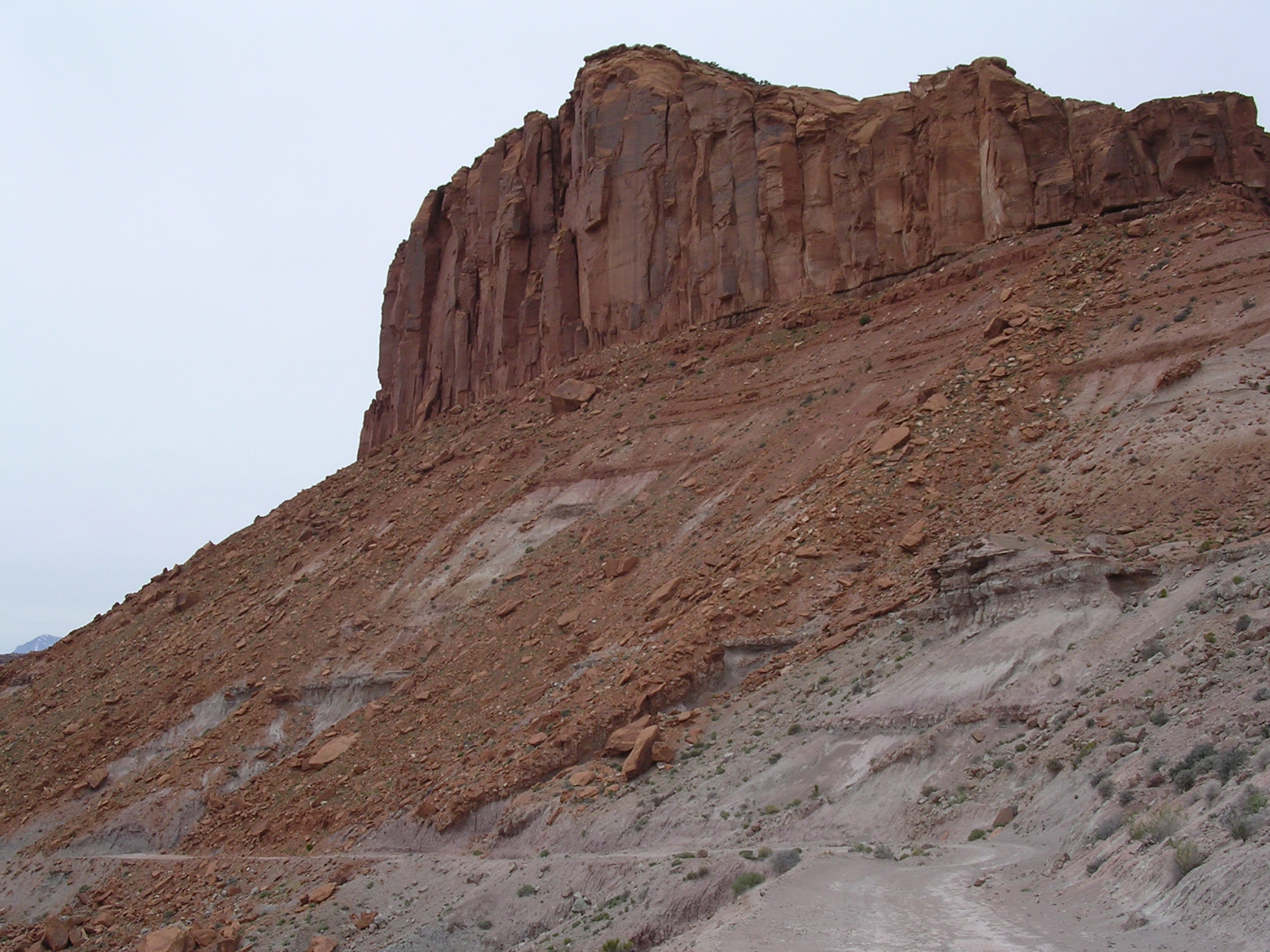
dscn1680.jpg
1003.3 KB
Date: April 21, 2005
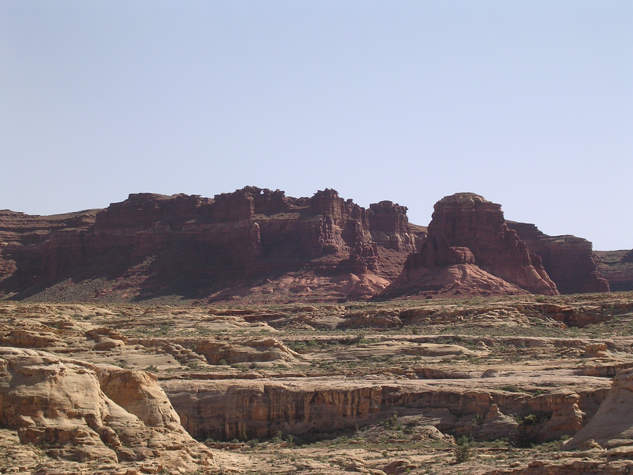
Description: Factory Butte near Hanksville, Utah

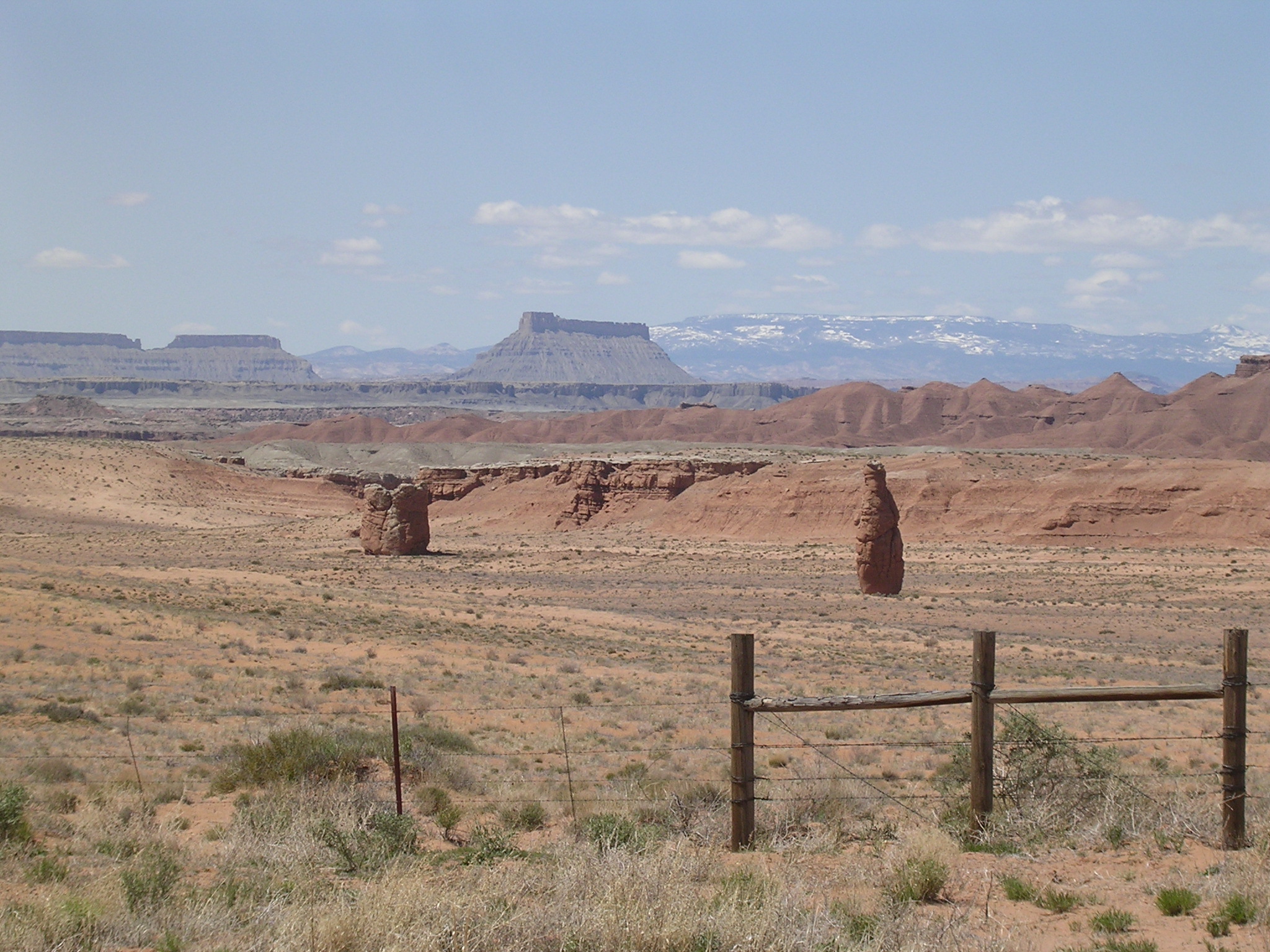
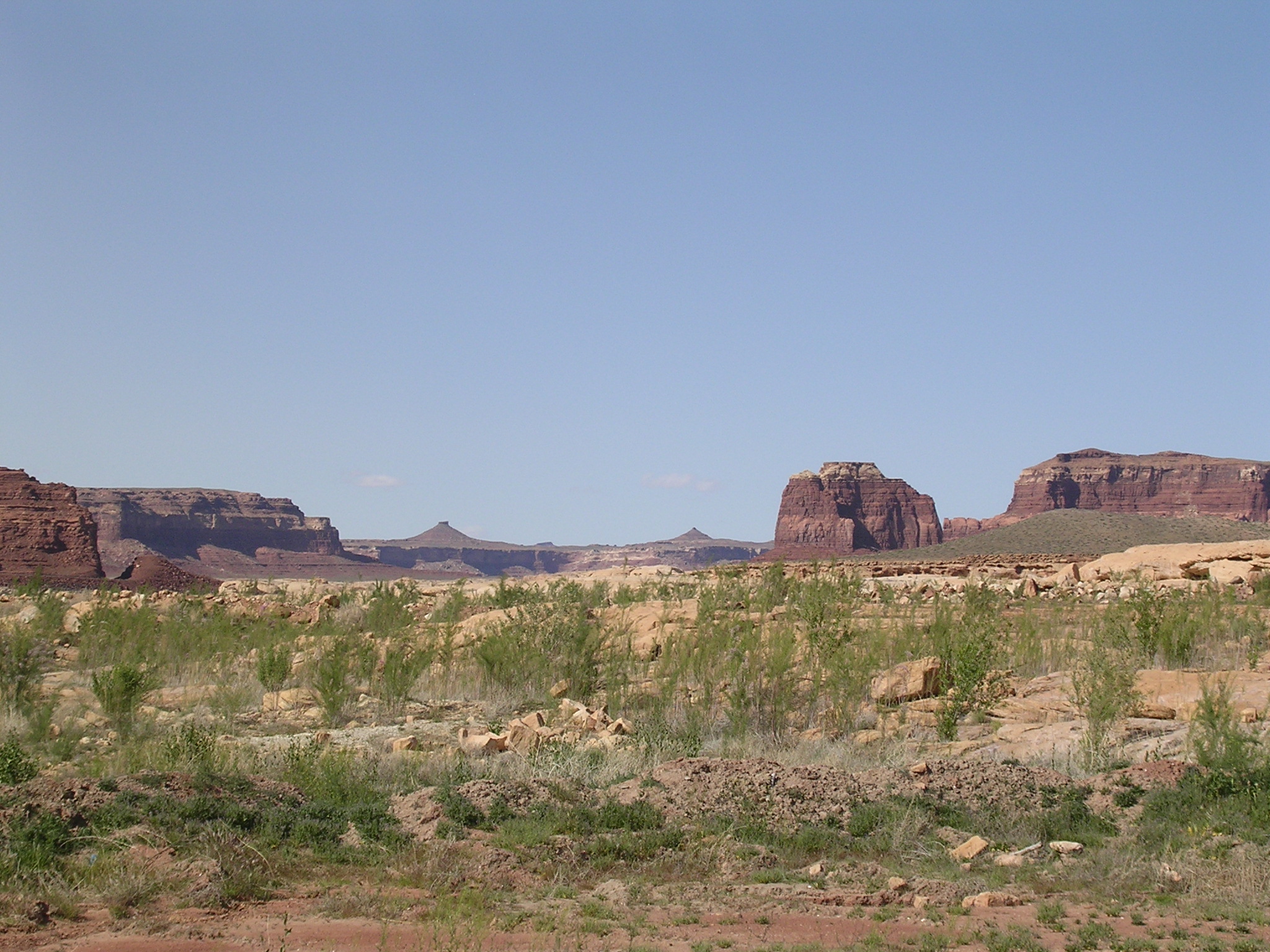
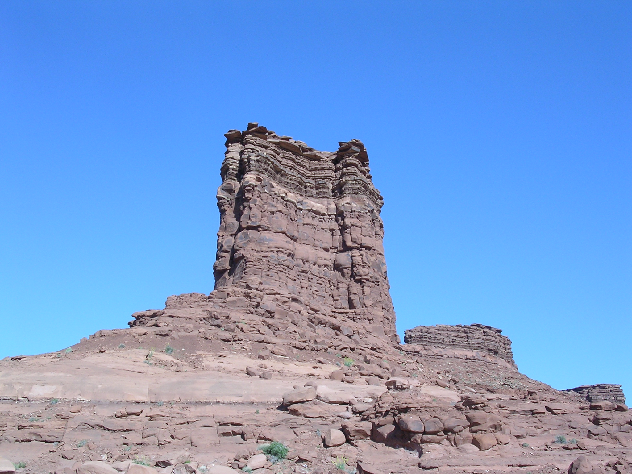
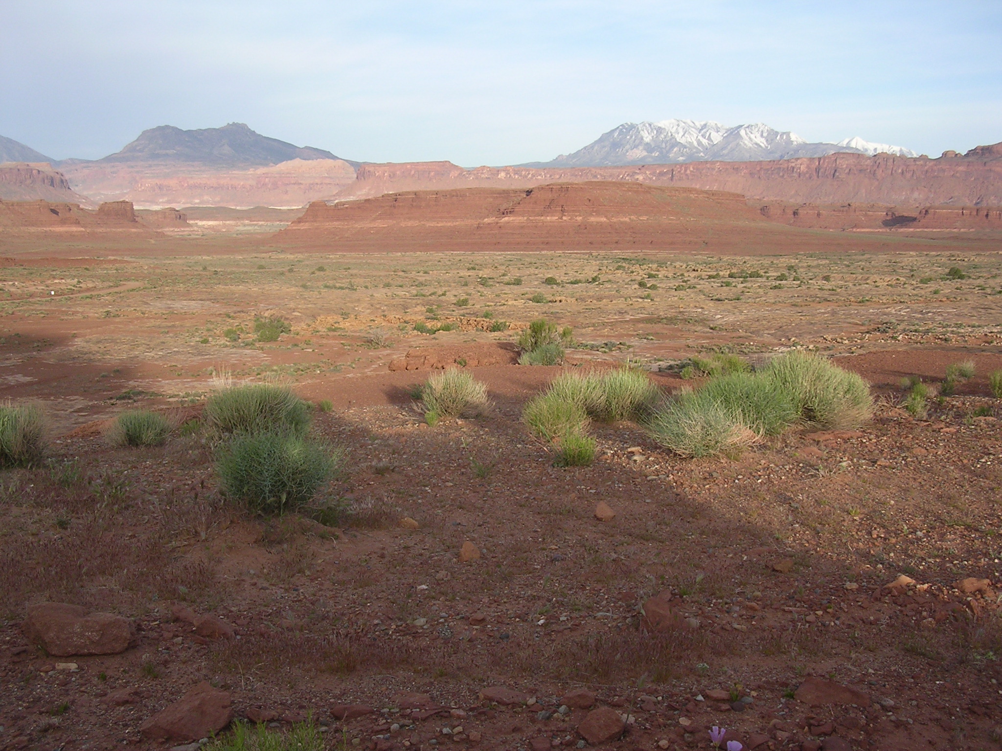
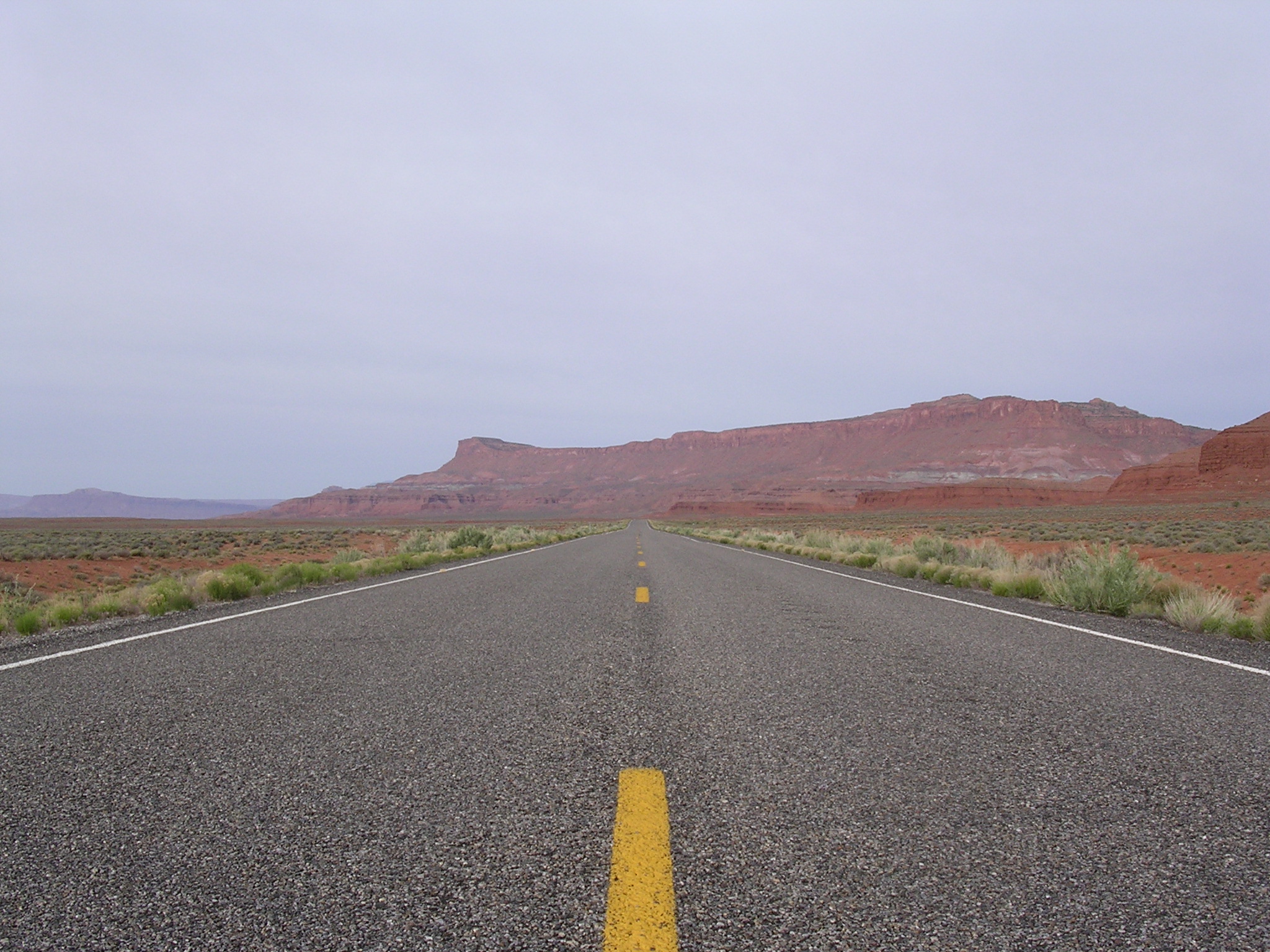
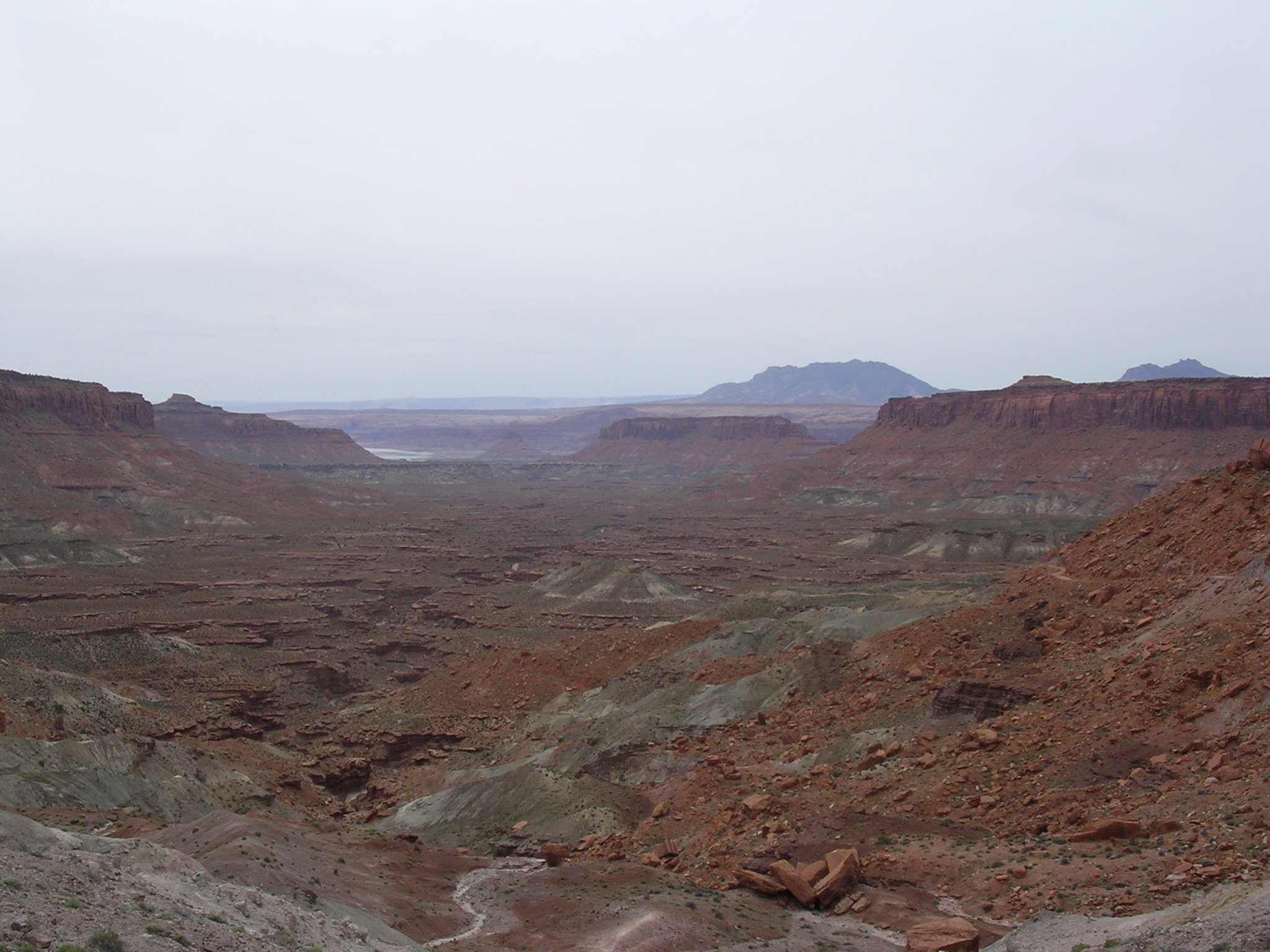
dscn1681.jpg
1070.8 KB
Date: April 21, 2005
Description: State Highway 24 southbound north of Hanksville, Utah, with Henry Mountains in the background.
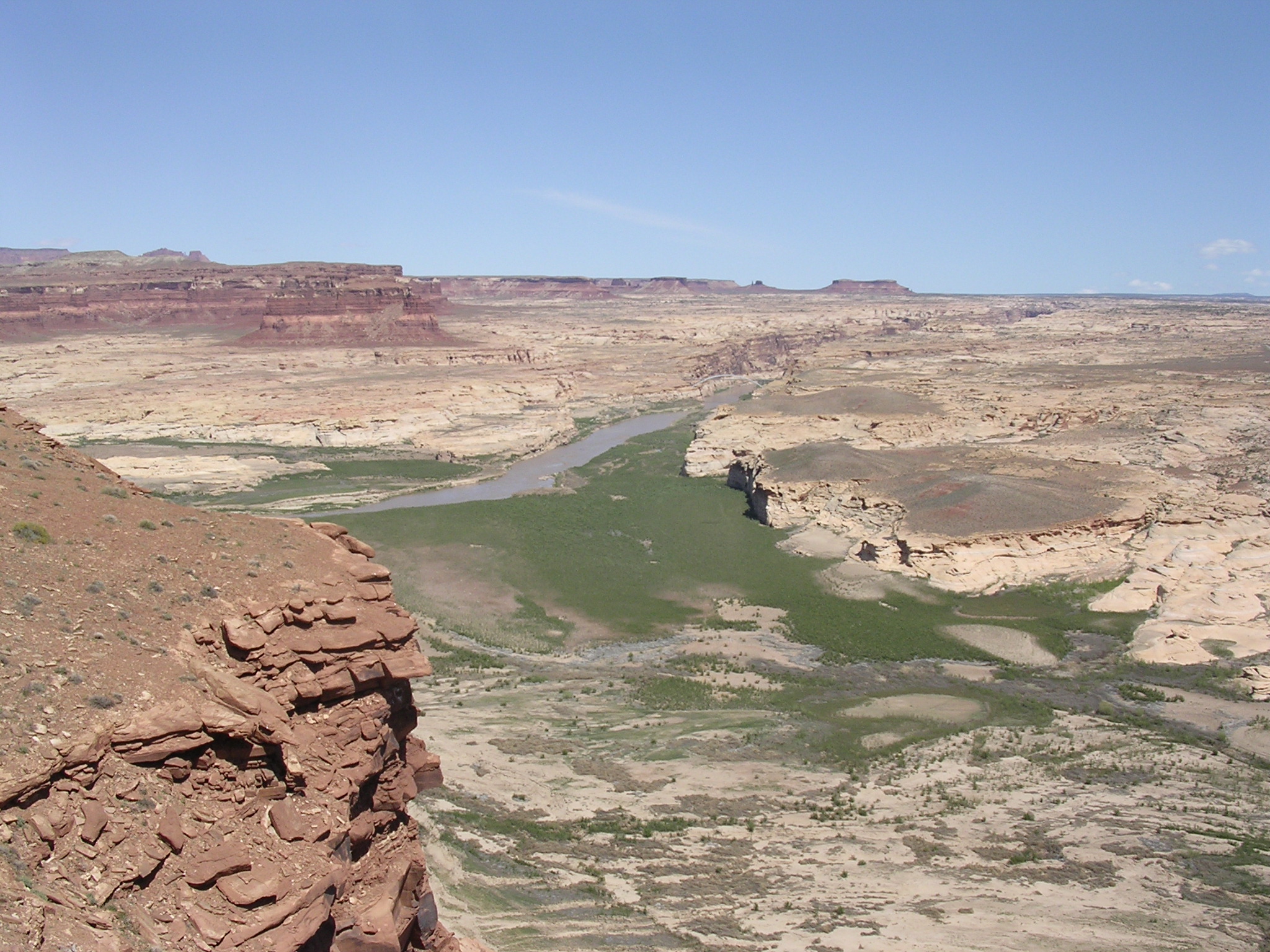
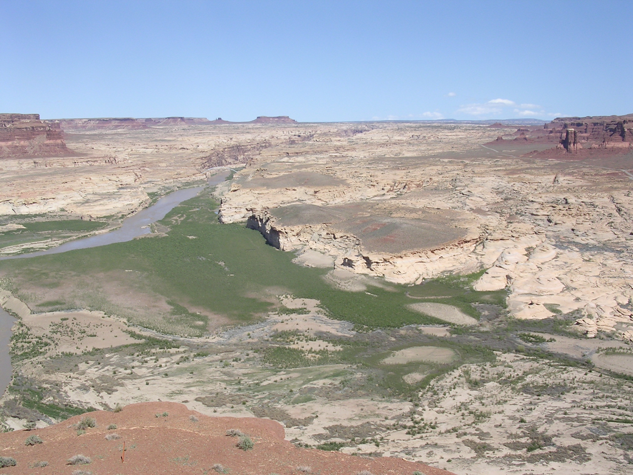
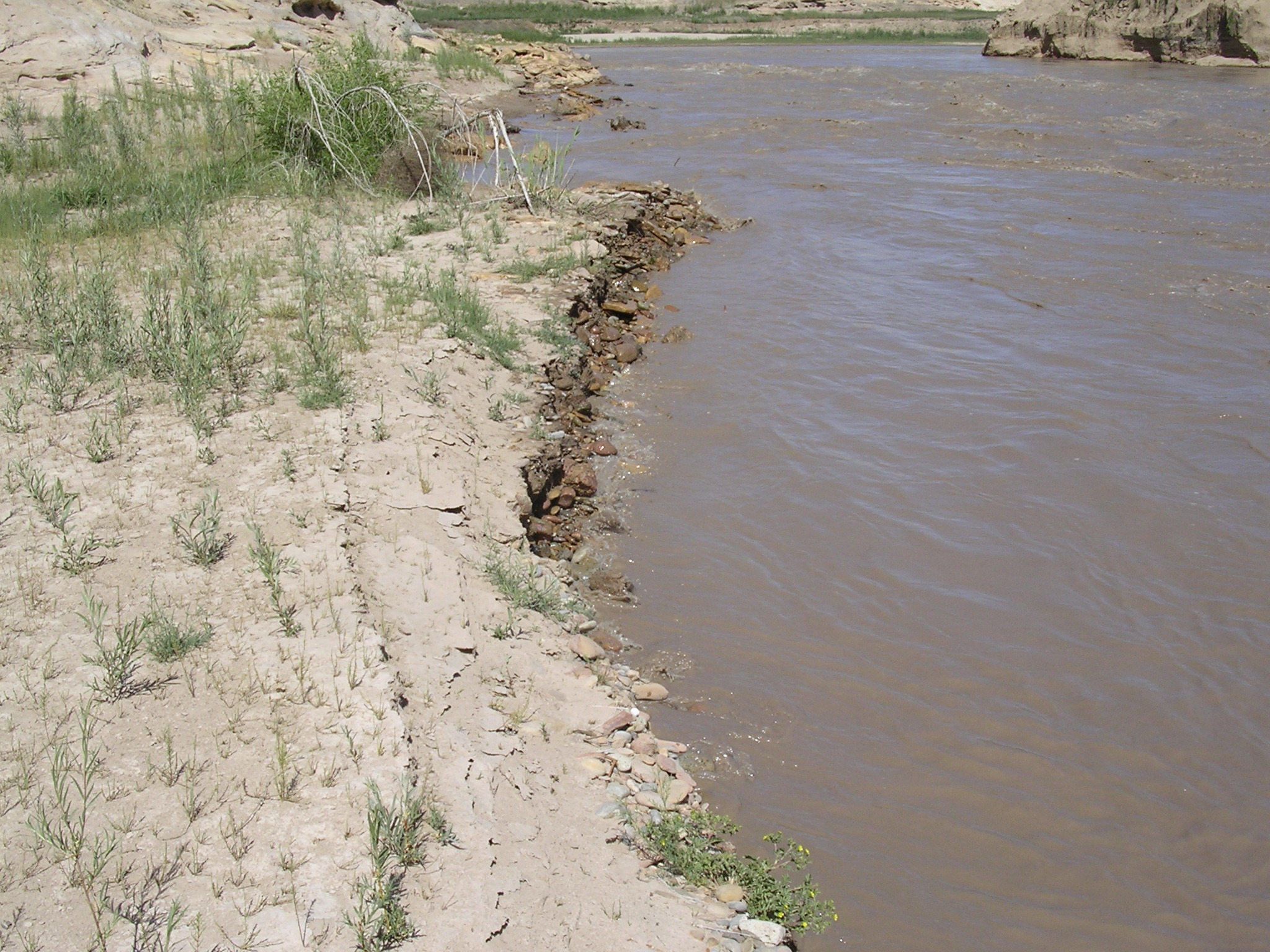
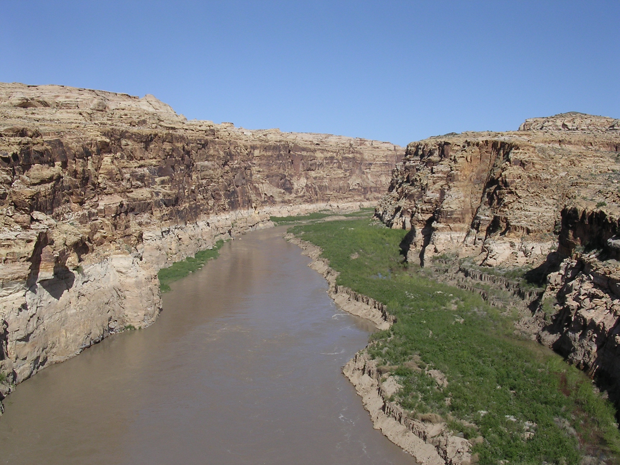
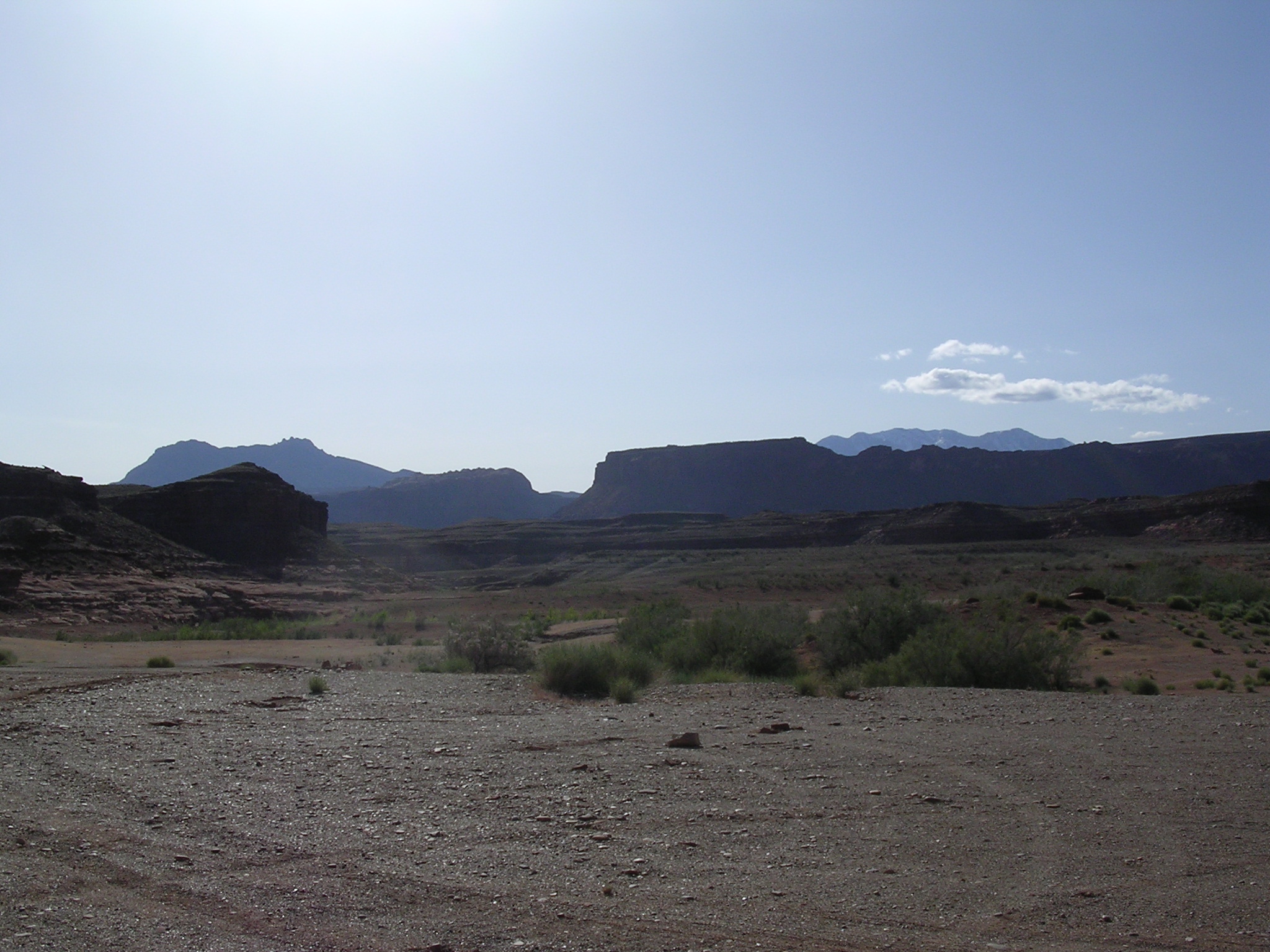
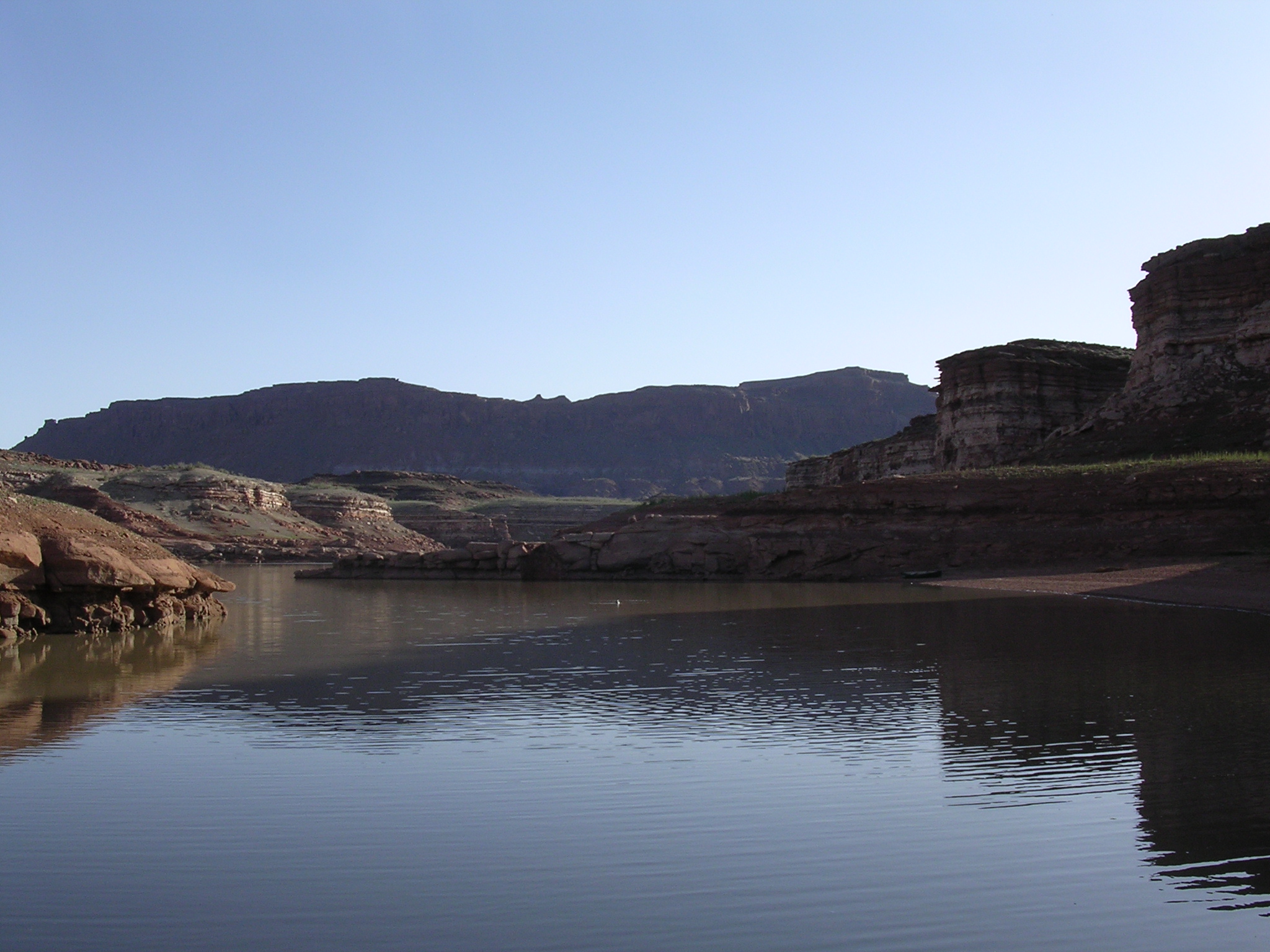
dscn1682.jpg
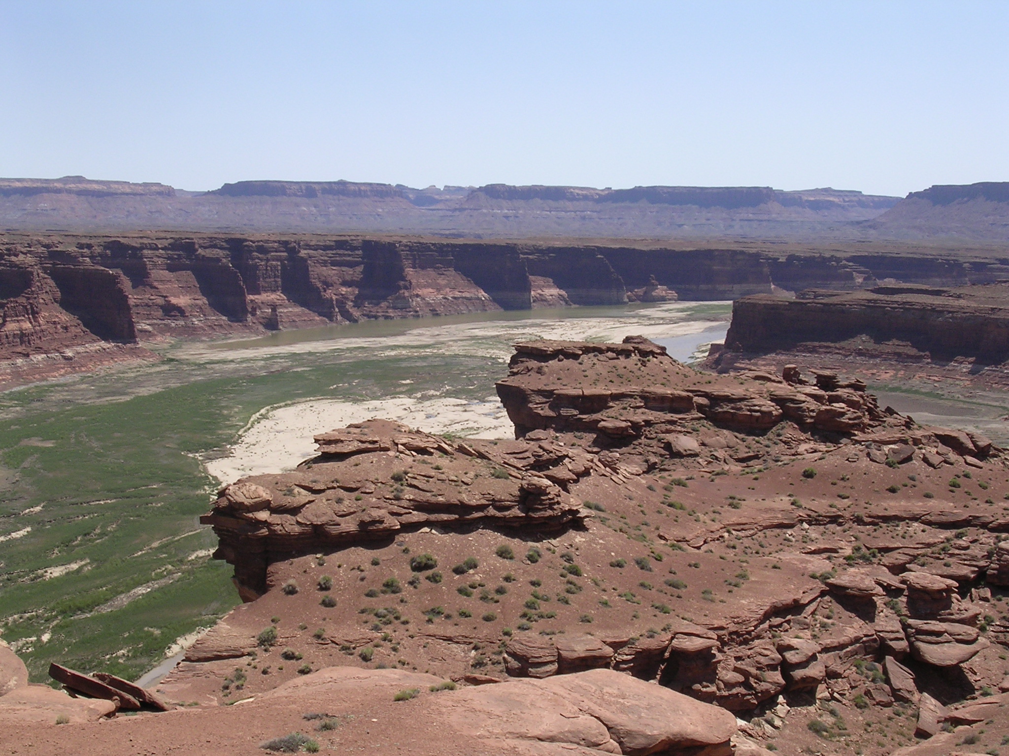
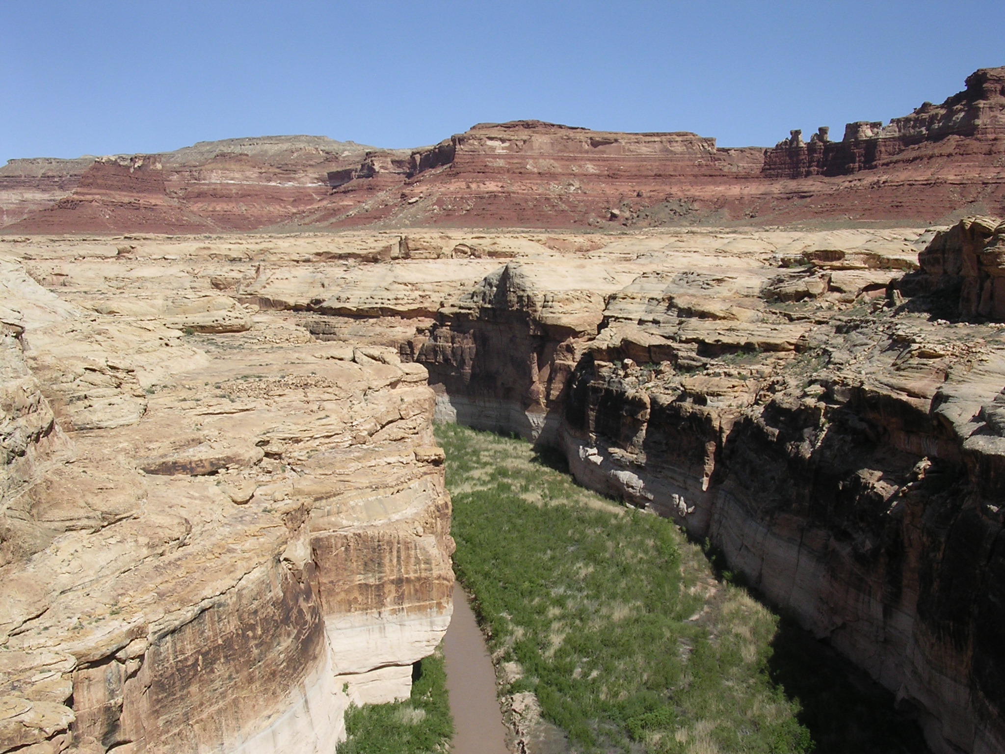
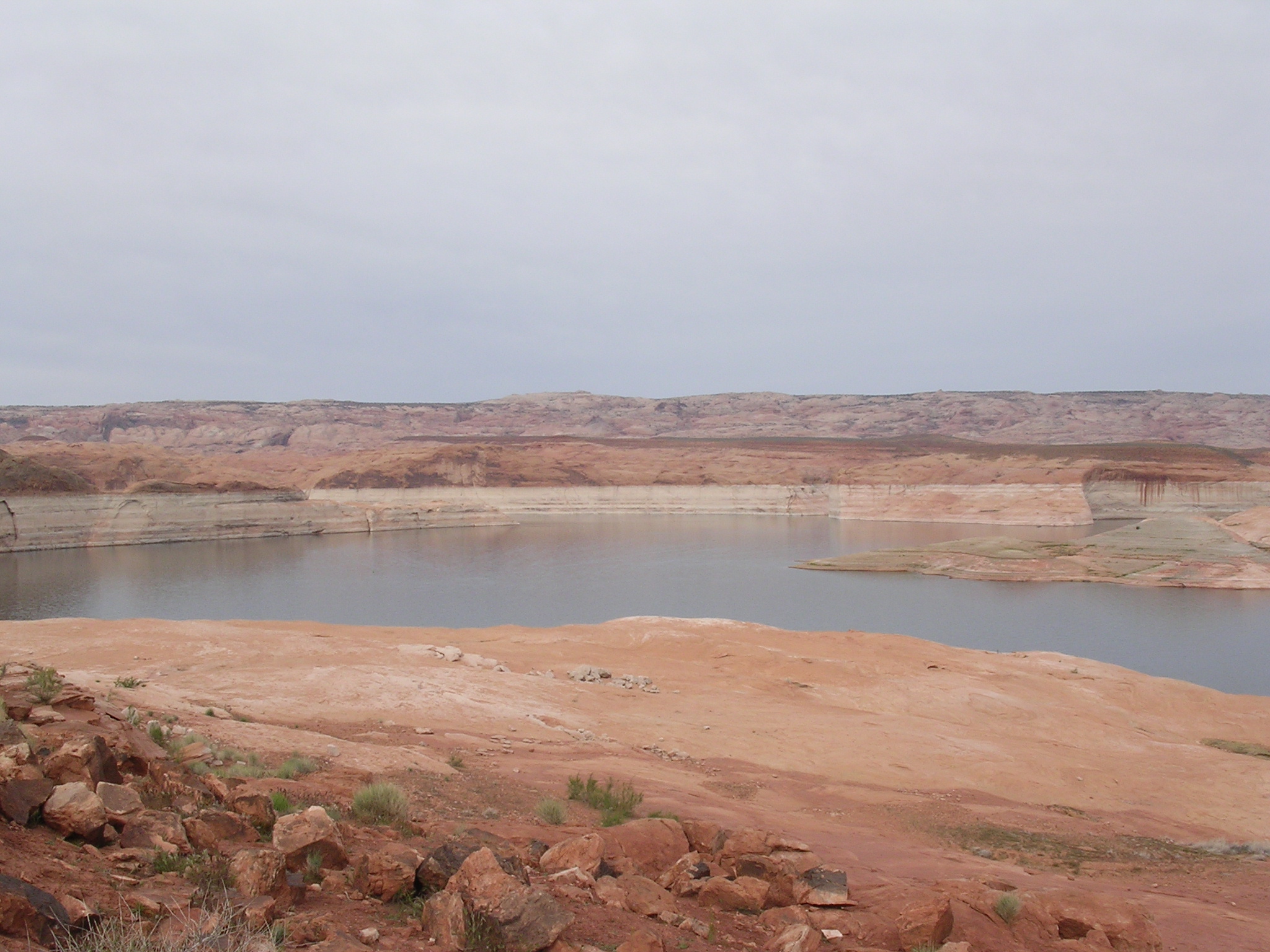
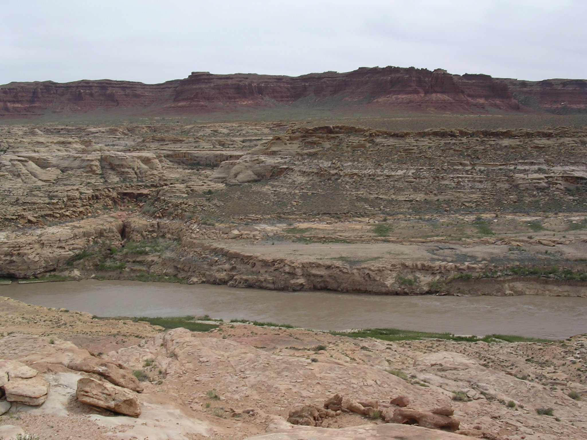
965.6 KB
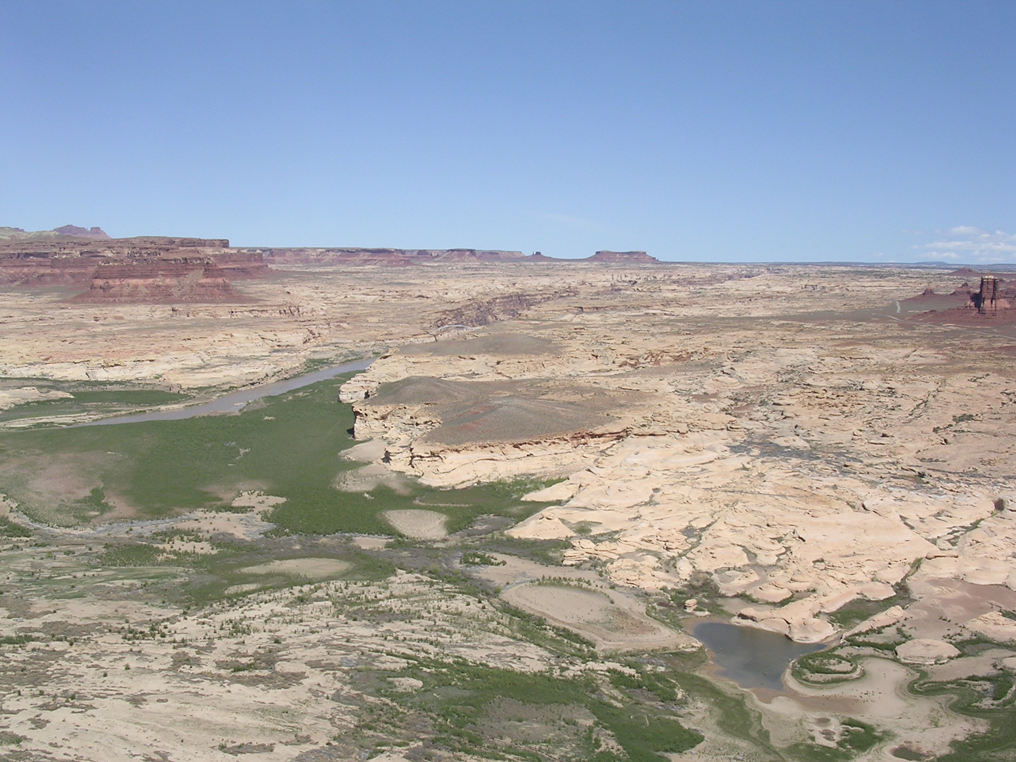
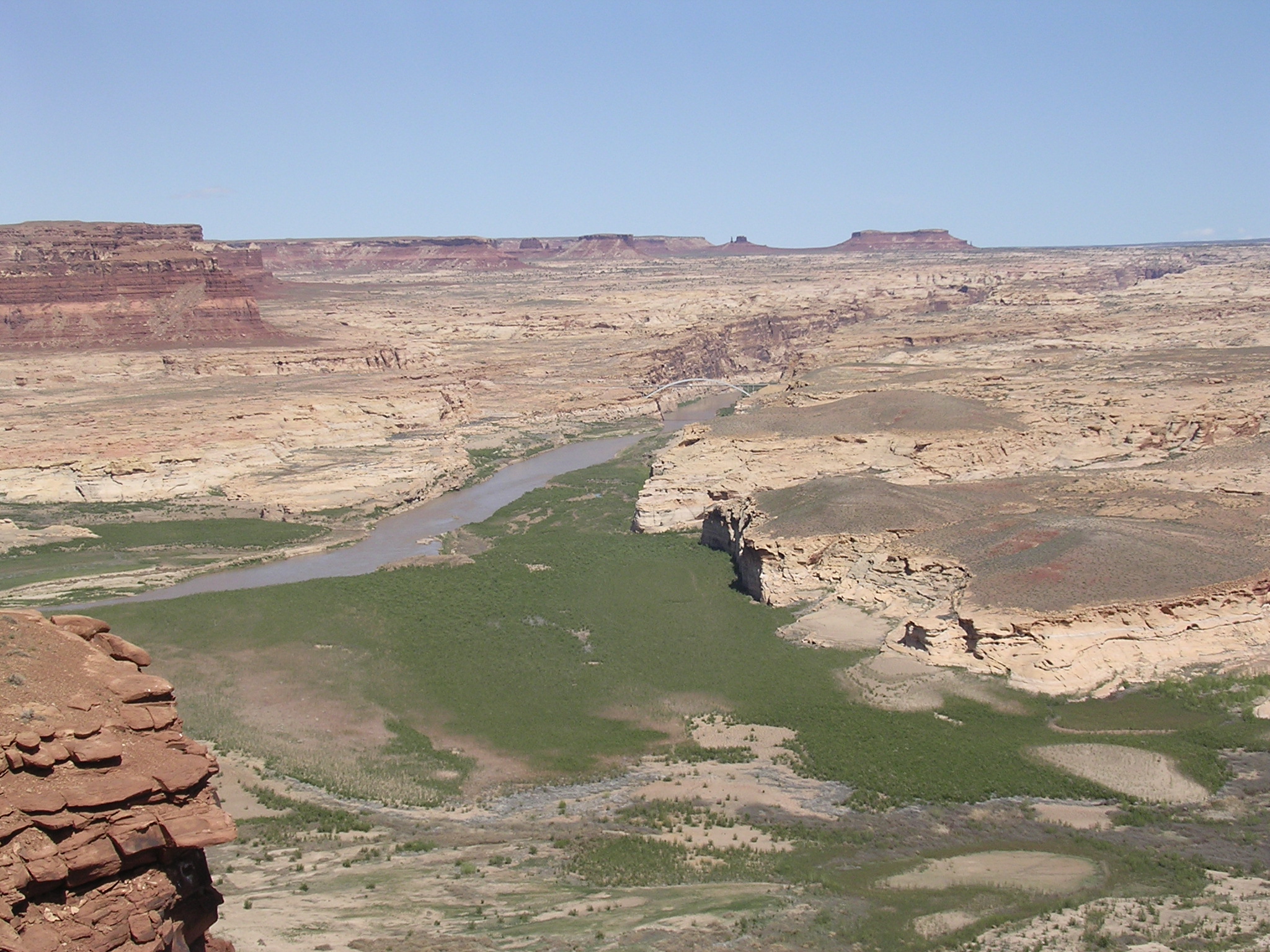
Title: A River Once More
Date: April 21, 2005
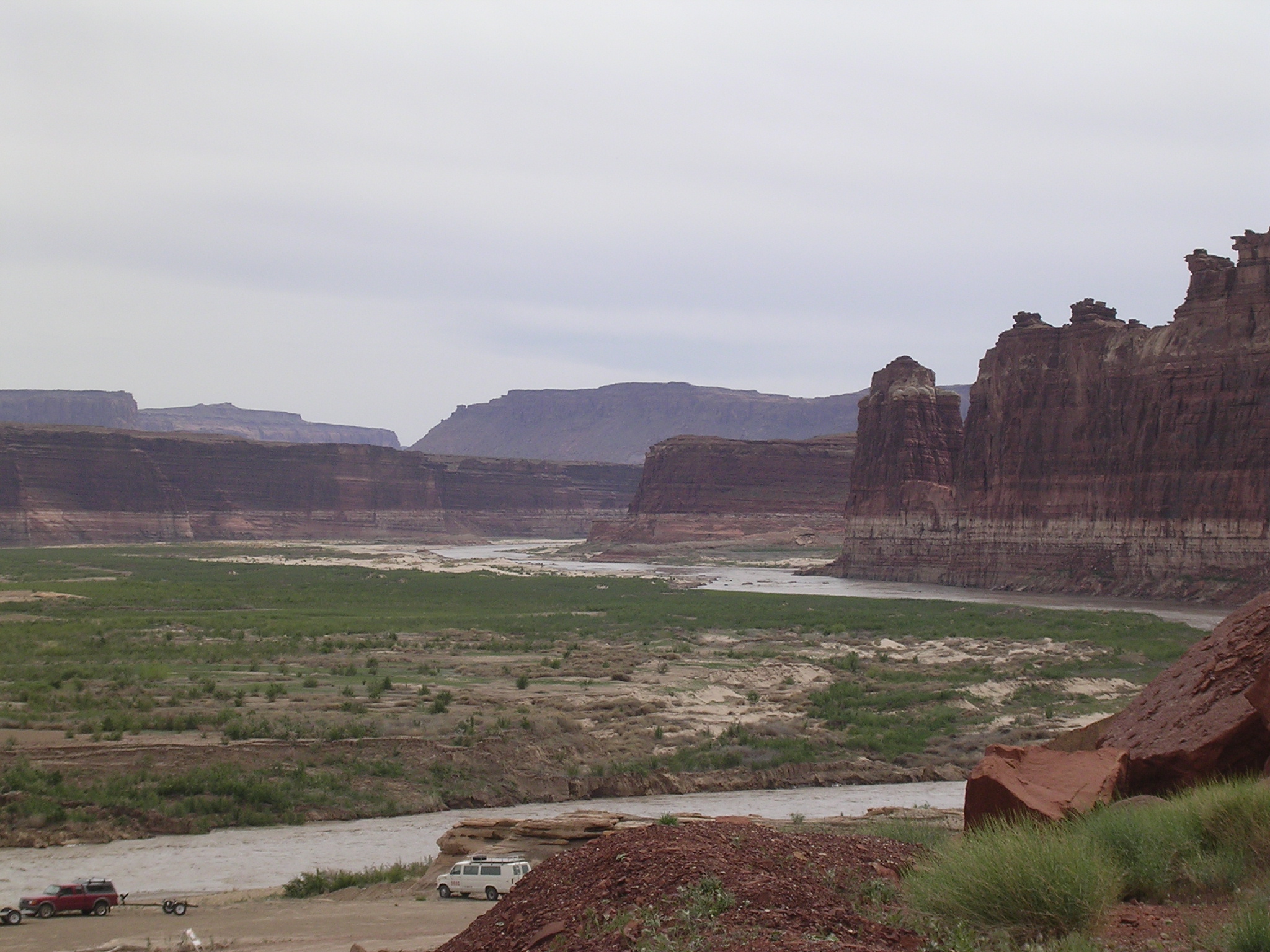
Description: The view upstream from the Hite Overlook. N 37.88128 W 110.40803

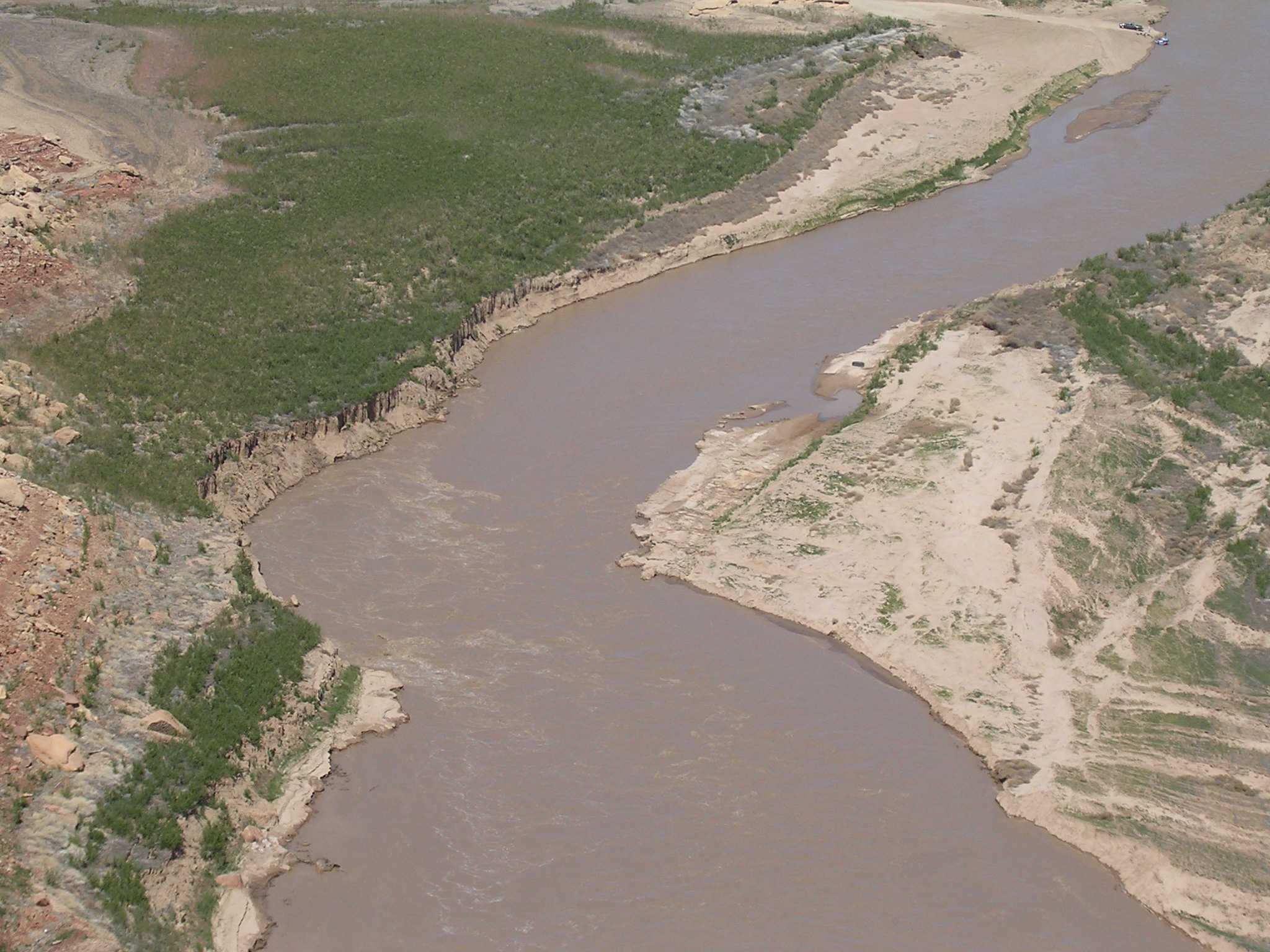
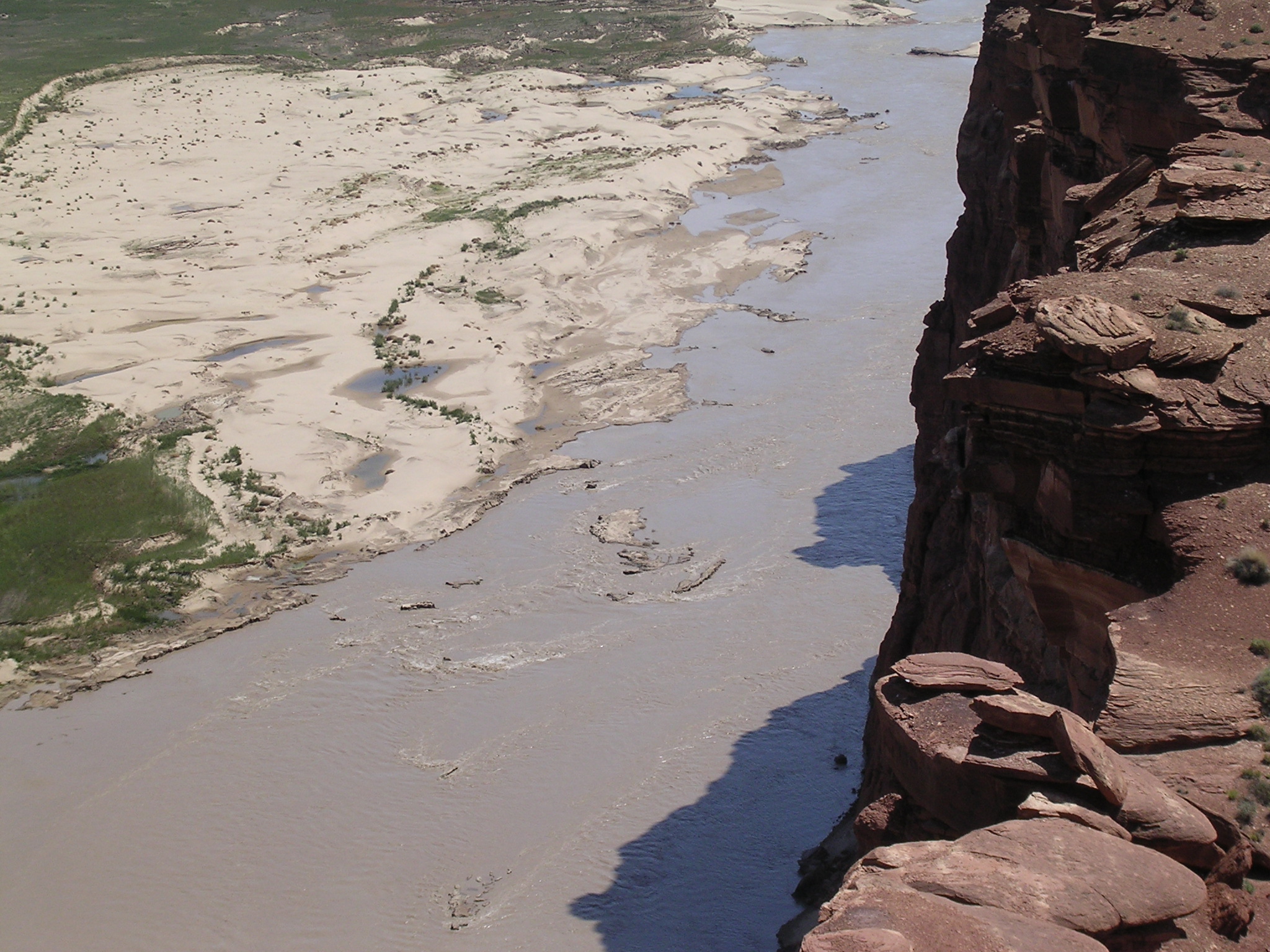
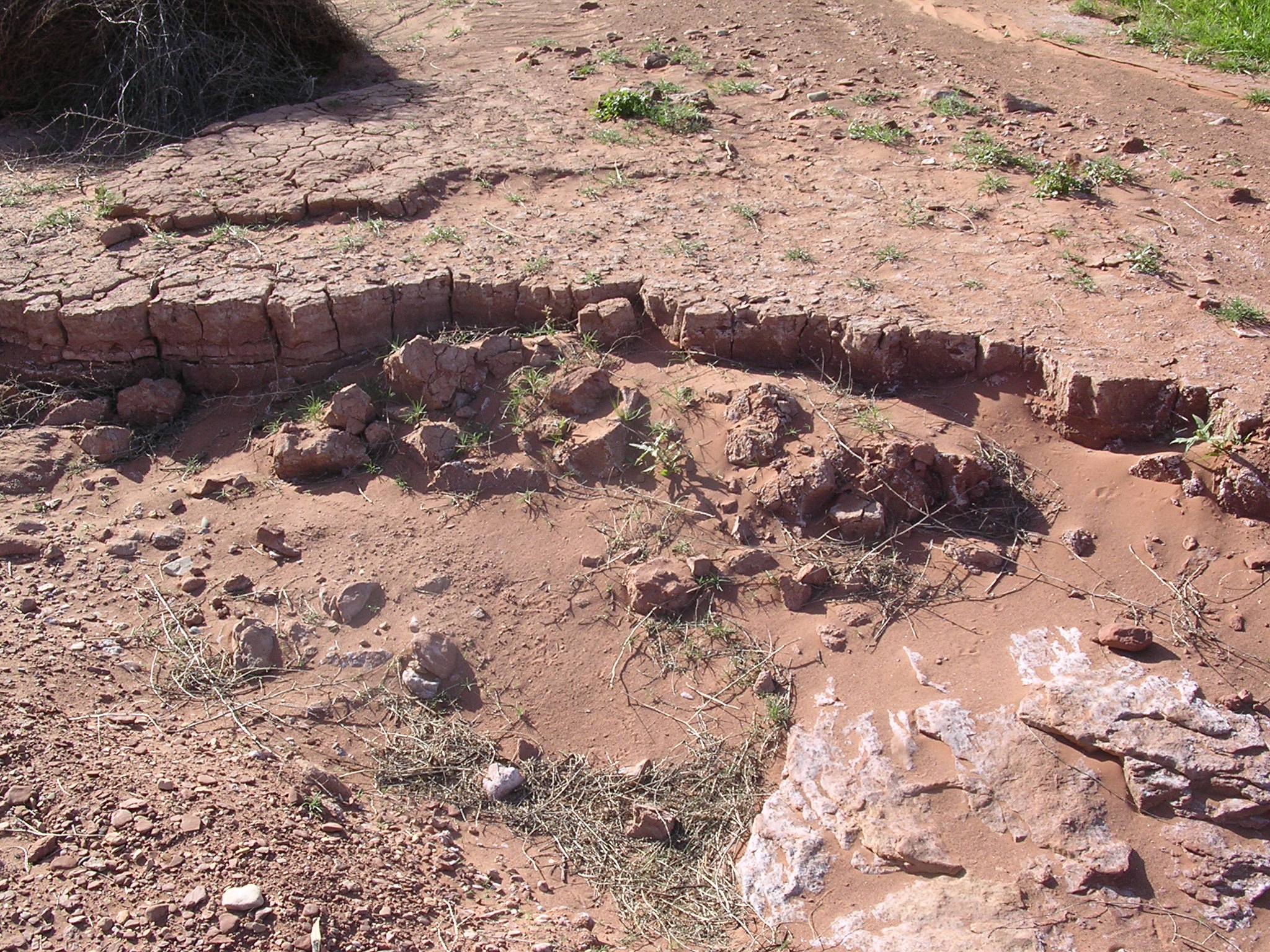
dscn1683.jpg
1041.7 KB
Date: April 21, 2005
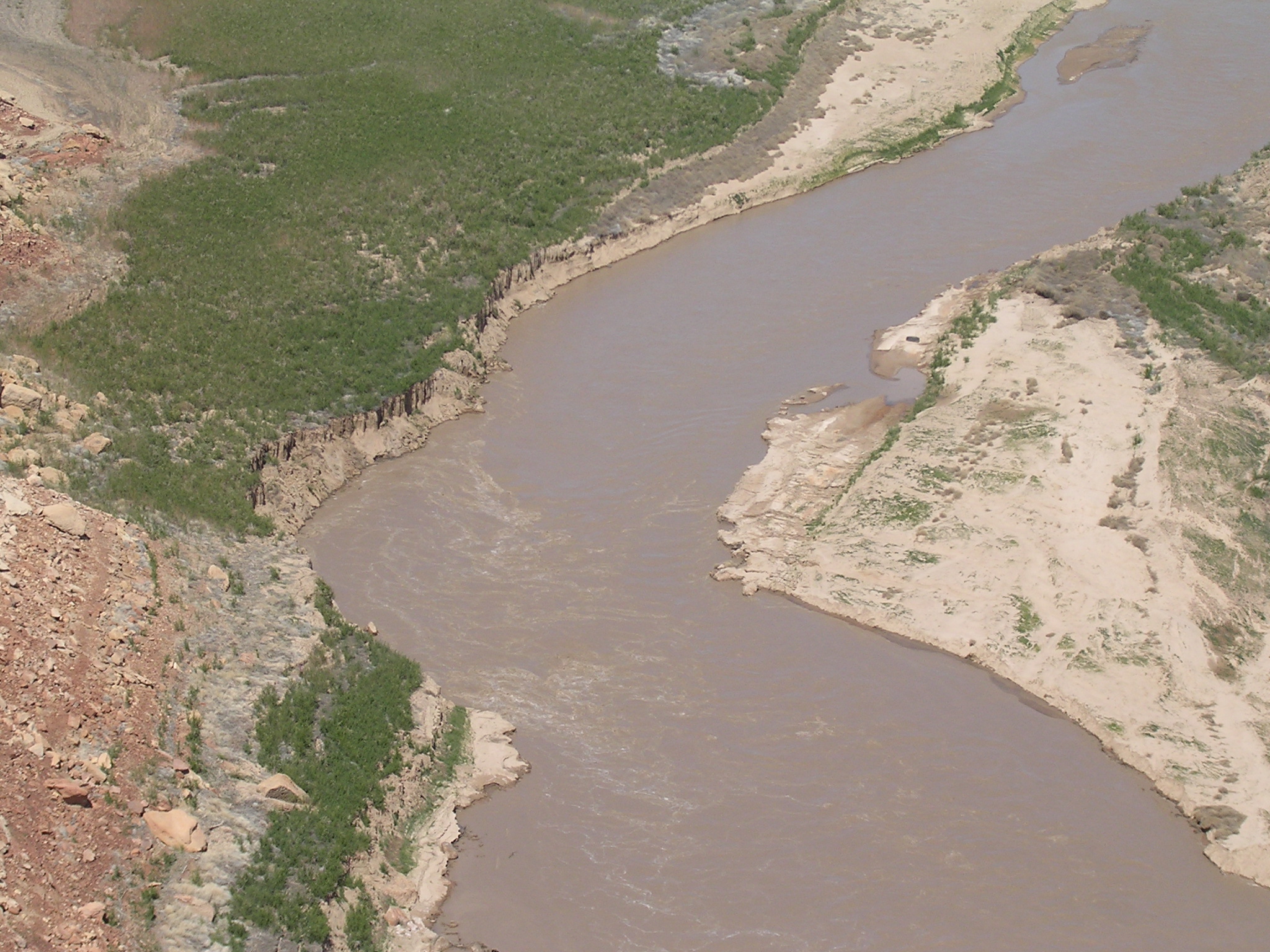
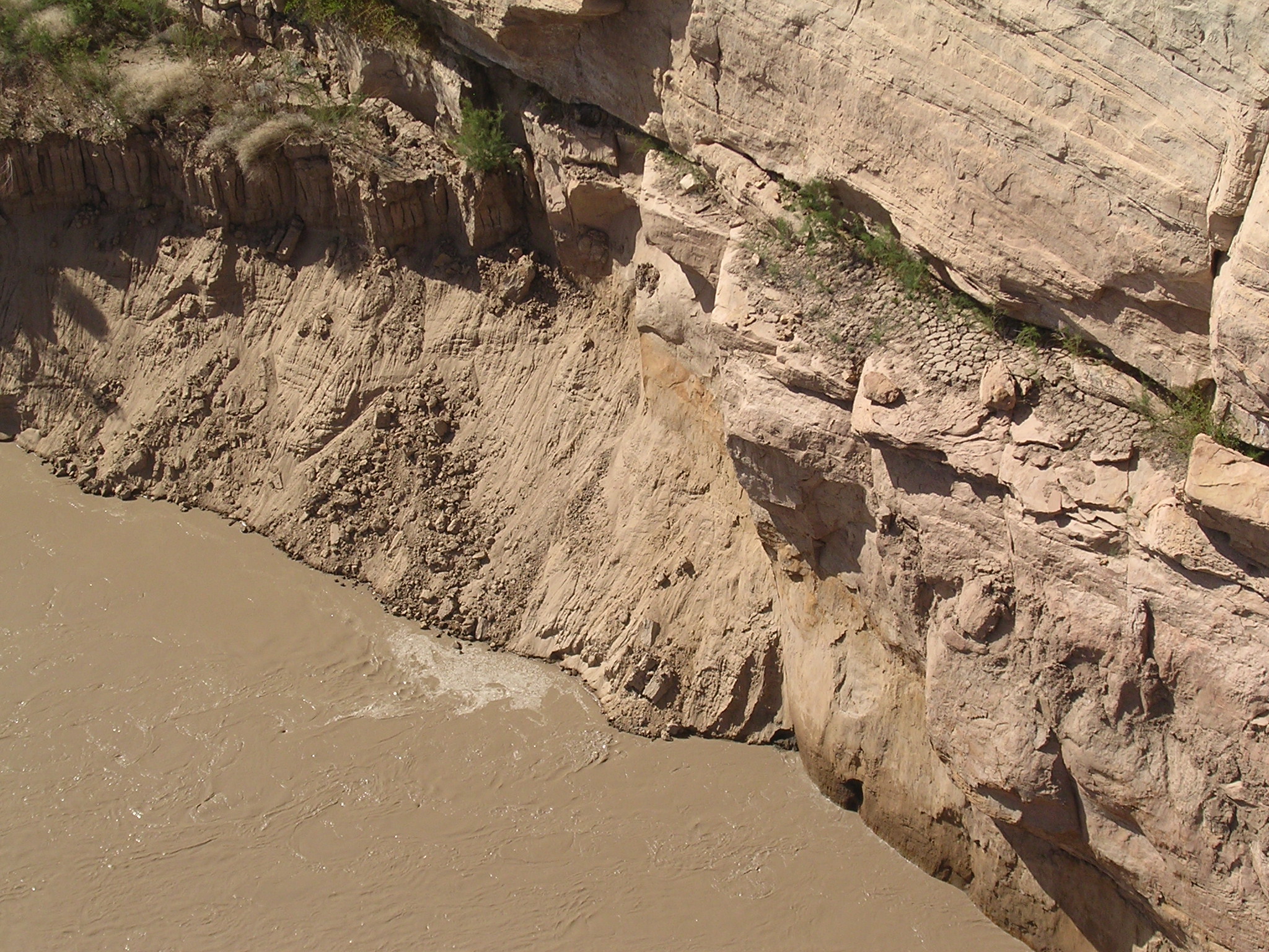
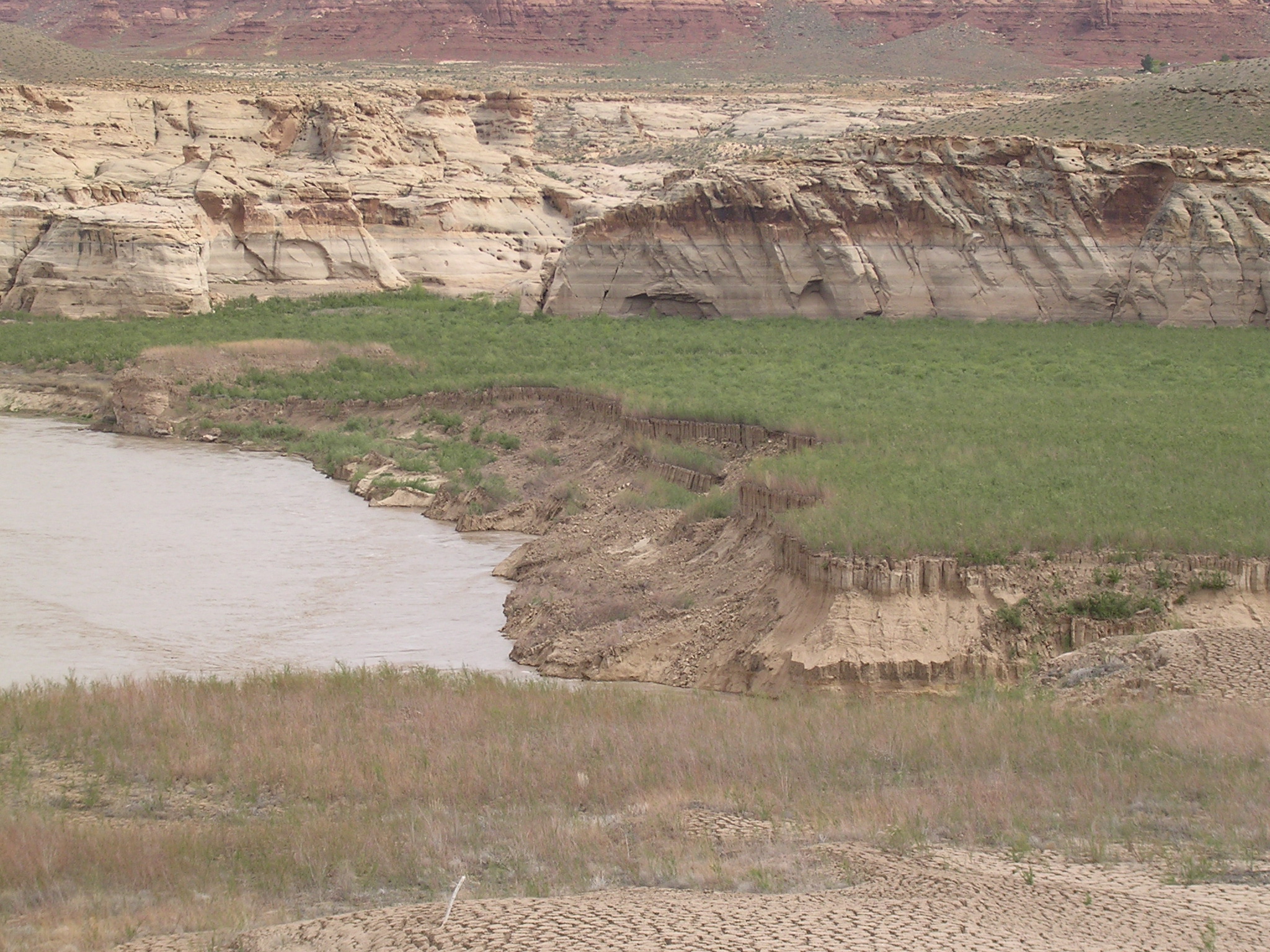
Description: Closeup of the silt buildup in the Colorado River channel.
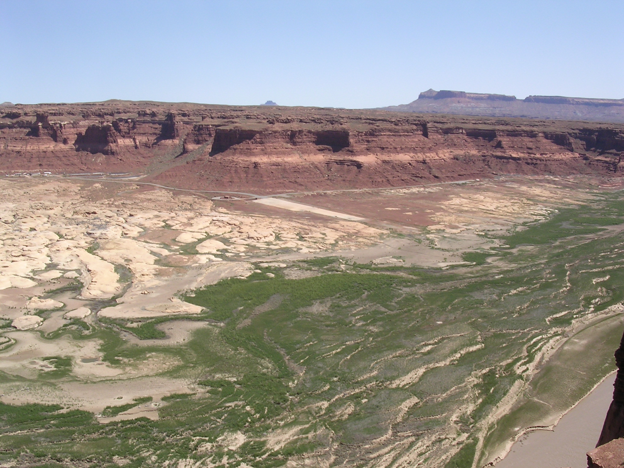
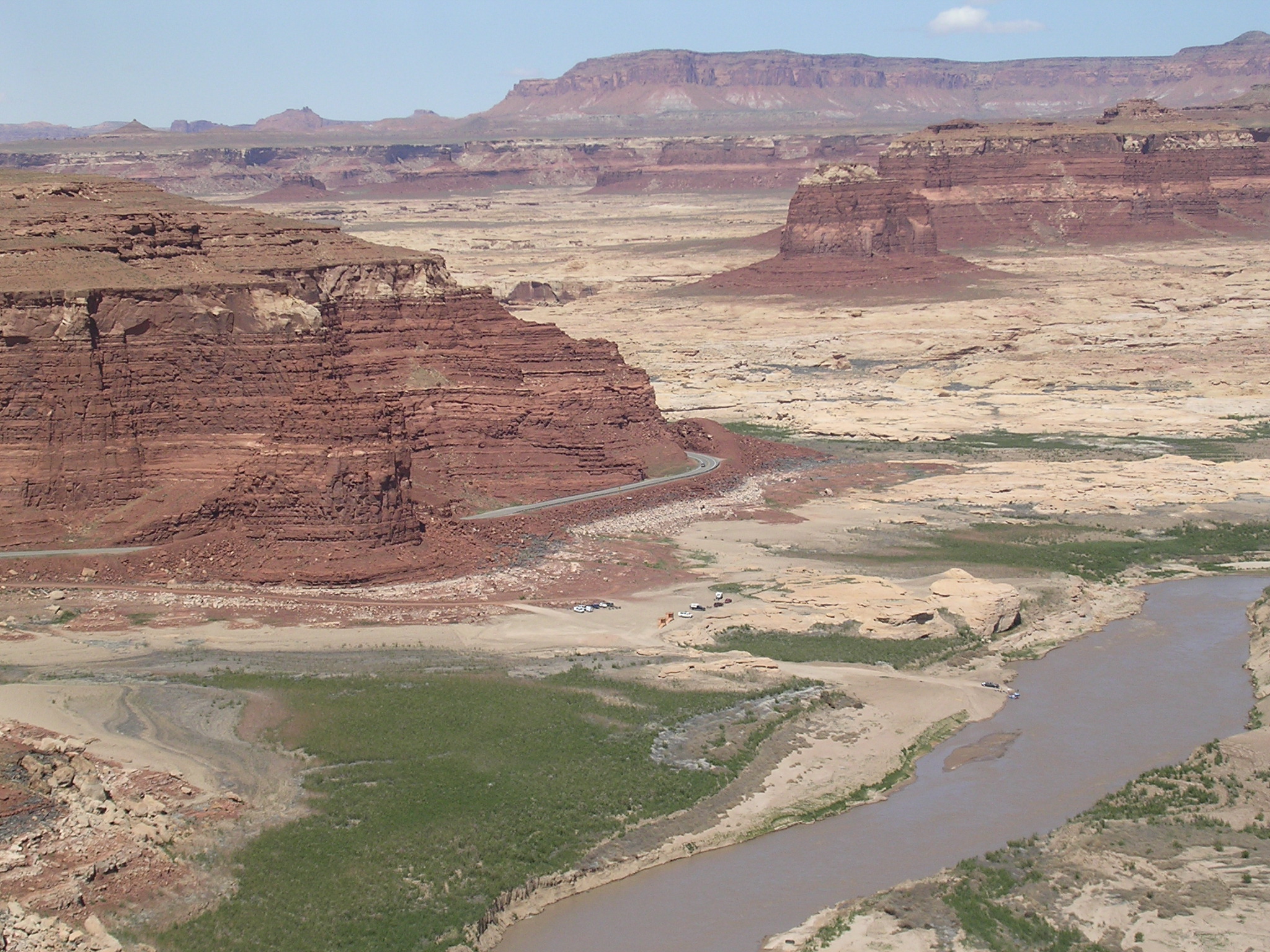
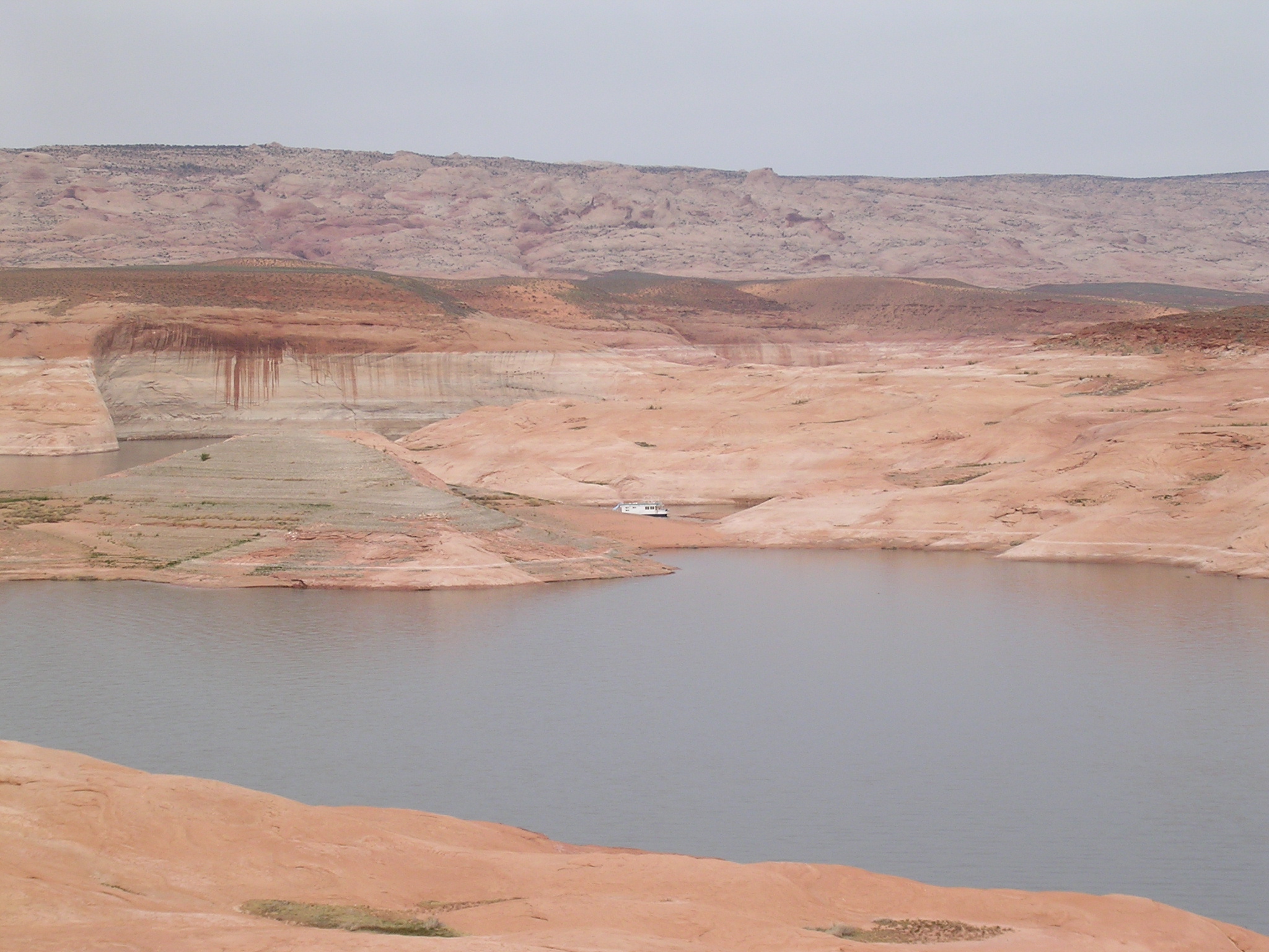
dscn1684.jpg
994.6 KB
Date: April 21, 2005
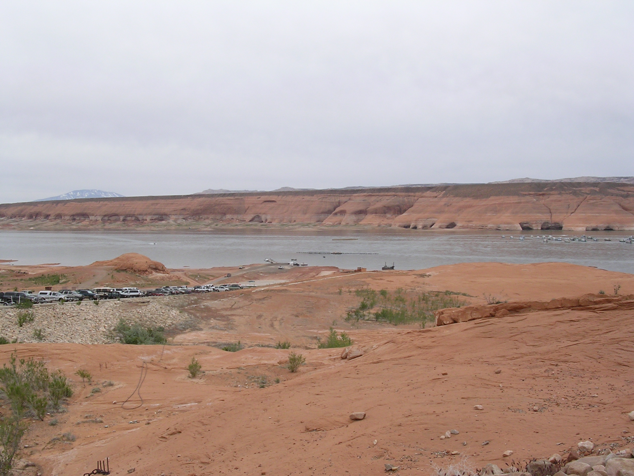
Description: Hite Marina boat ramp high and dry. Compare to Box 44, slide 7.
dscn1685.jpg
962.5 KB
Date: April 21, 2005
Description: Fins west of the Hite Overlook.
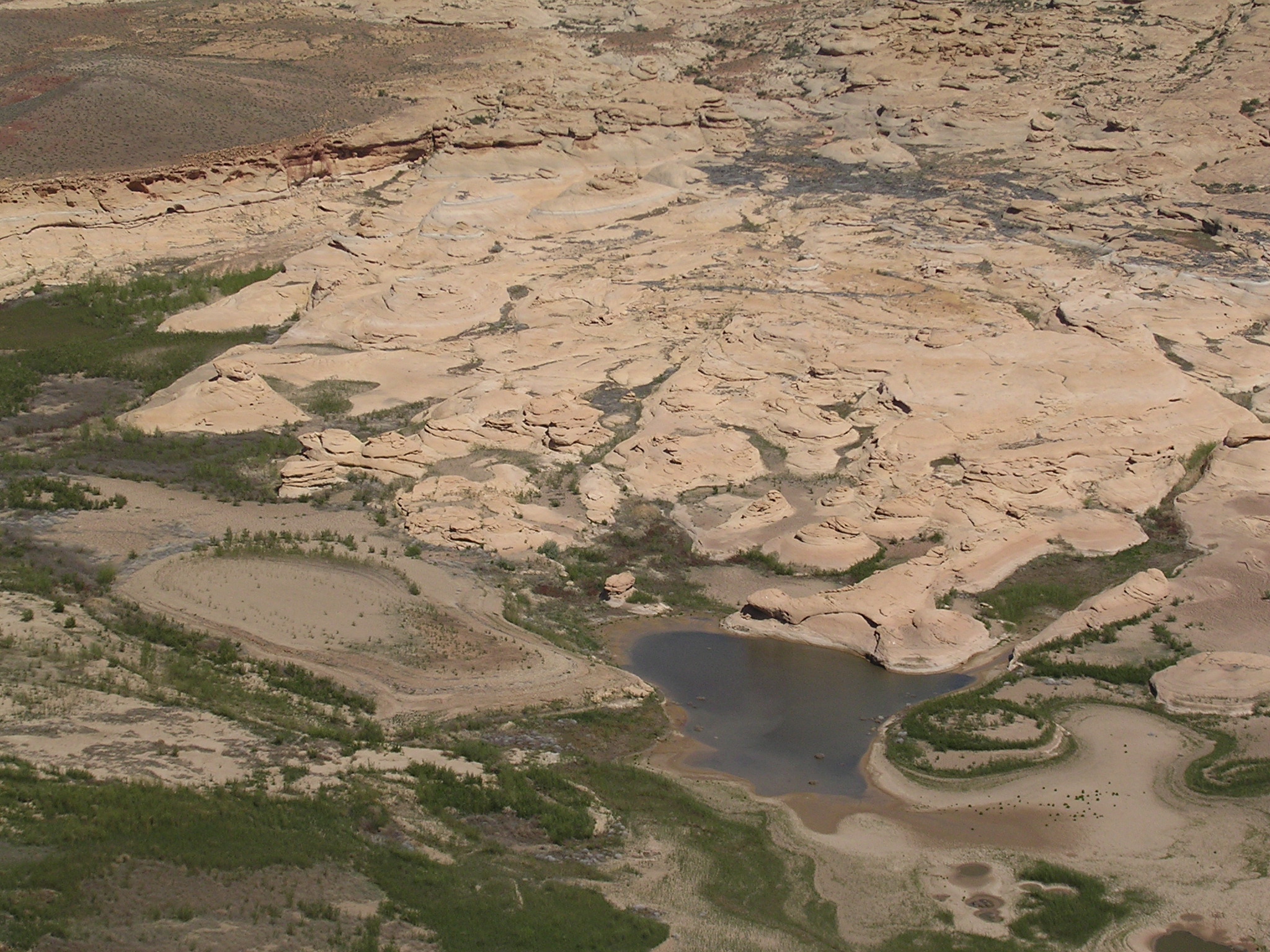
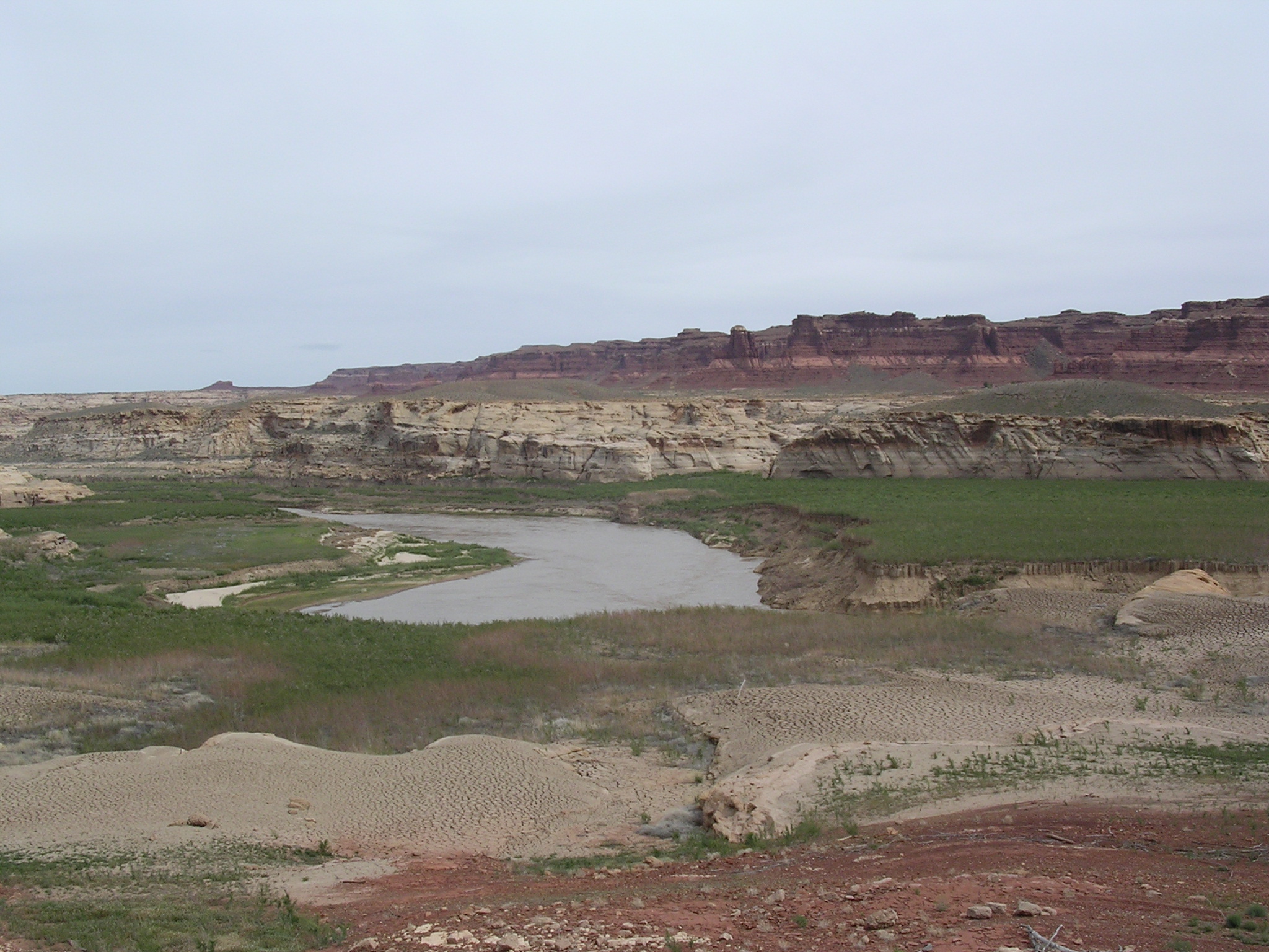
dscn1686.jpg
988.7 KB
Date: April 21, 2005
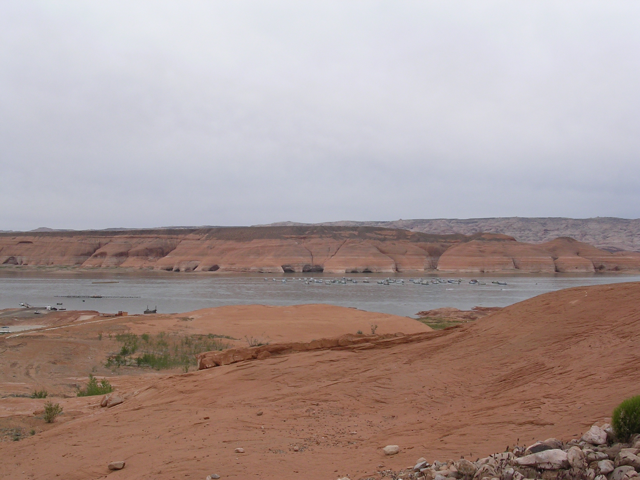
Description: Silt delta and stagnant water downstream from Hite Overlook.
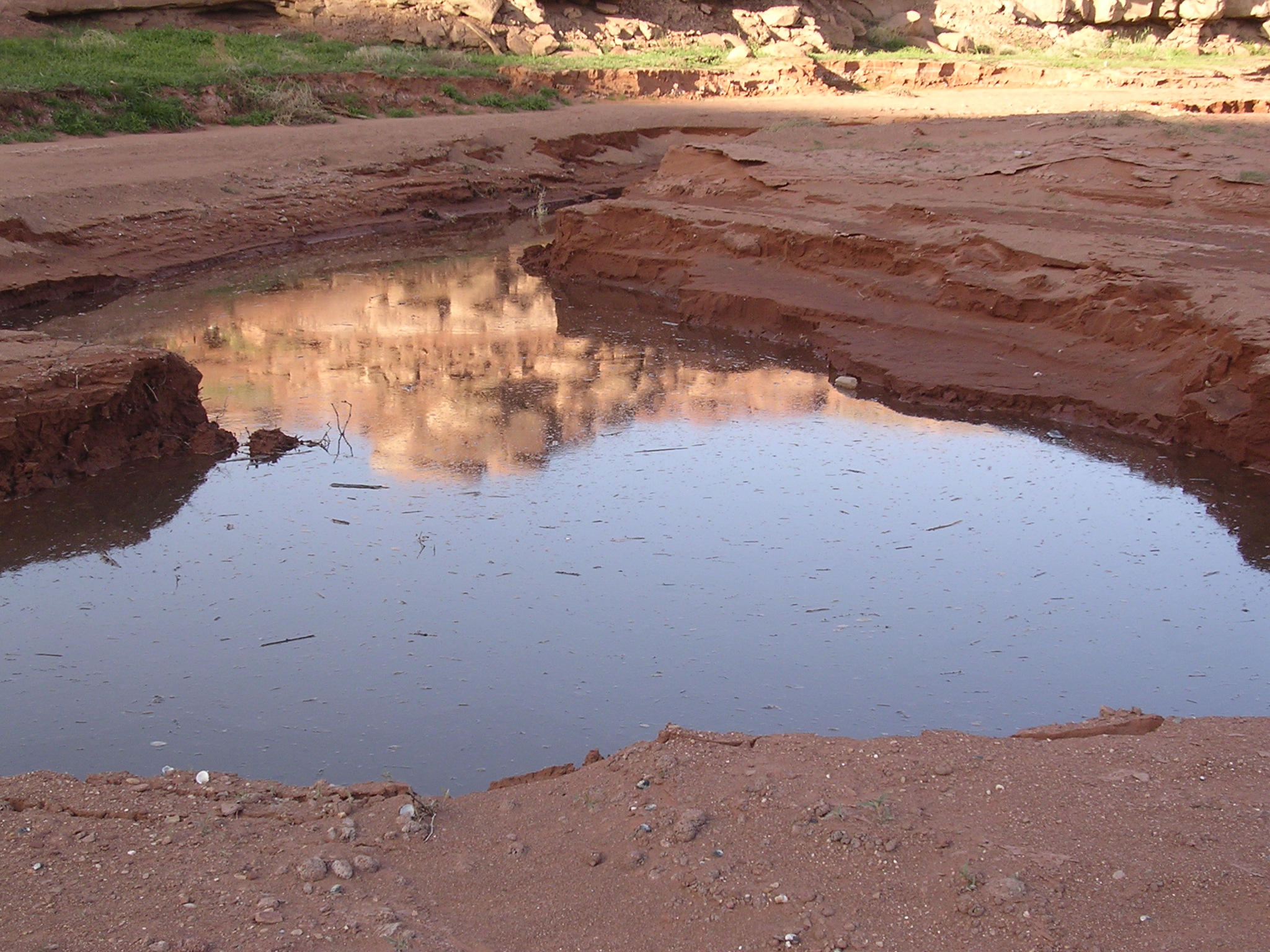
dscn1687.jpg
1010.4 KB
Date: April 21, 2005
Description: Colorado River eroding sediment deposits.
dscn1688.jpg
1062.8 KB
Date: April 21, 2005
Description: Boat ramp near Hite, Utah Highway 95, Dirty Devil River Canyon.
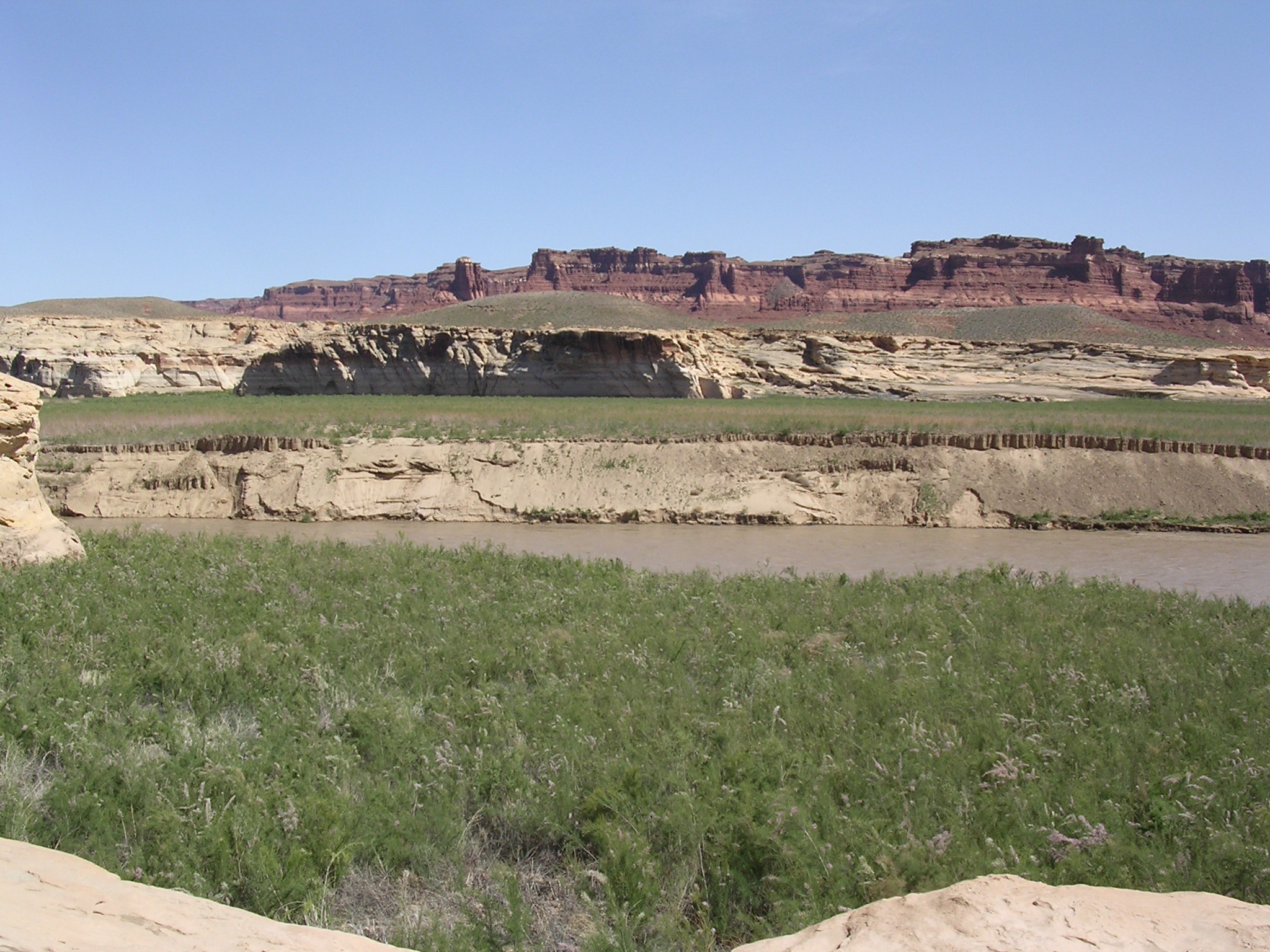
dscn1689.jpg
1025.7 KB
Date: April 21, 2005
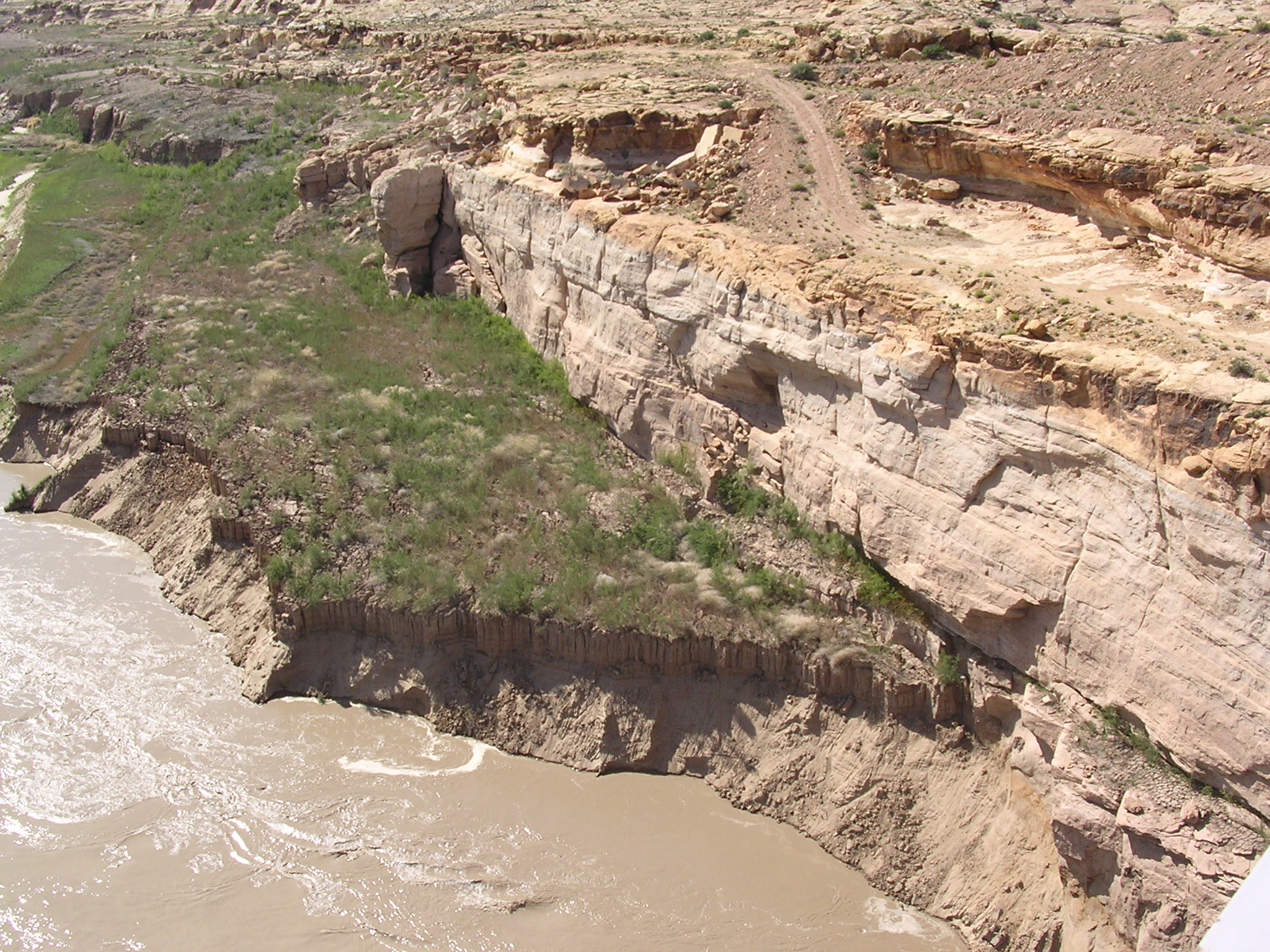
Description: Silt and sandstone formations across the Colorado River from Hite Overlook.
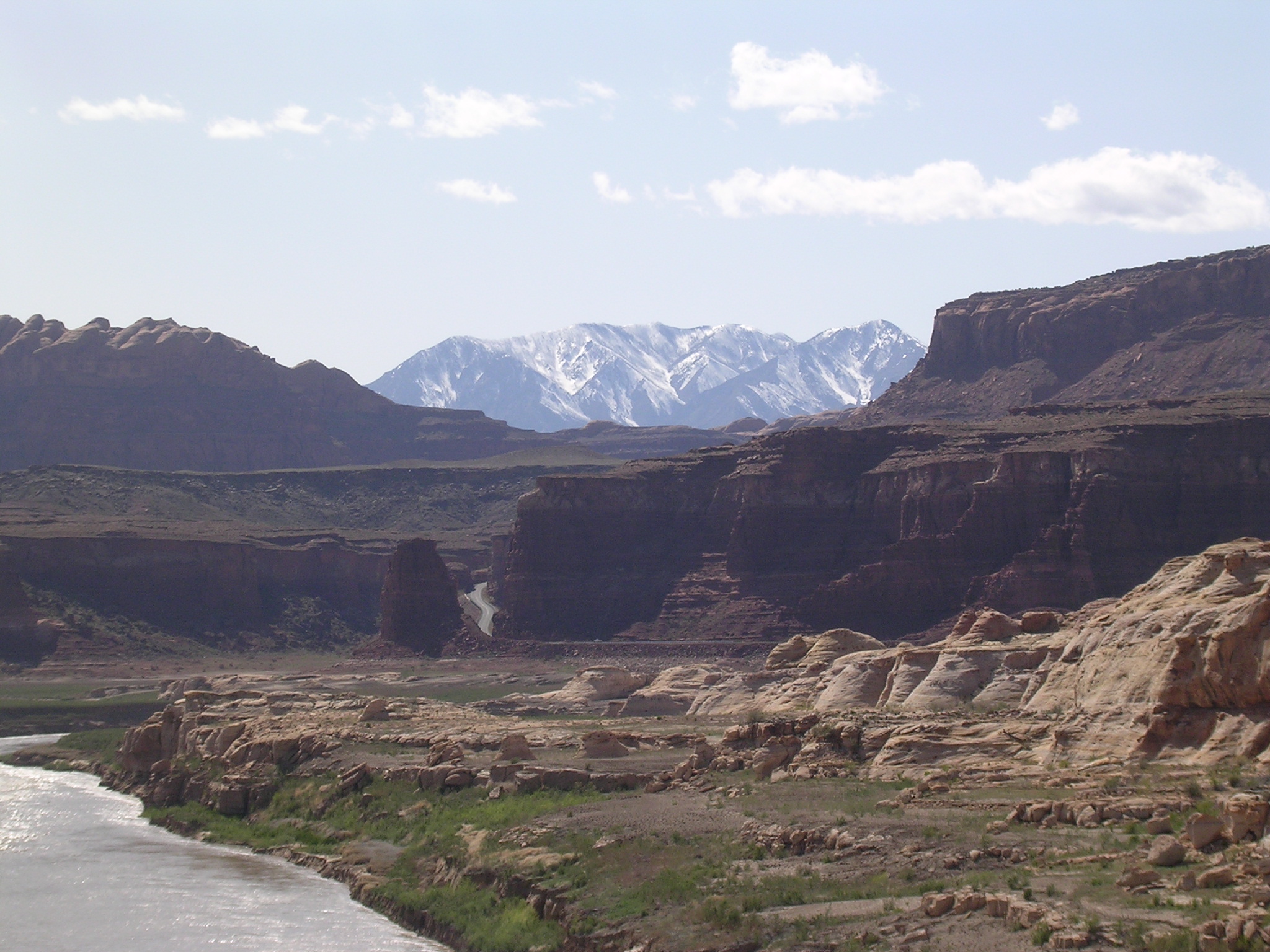
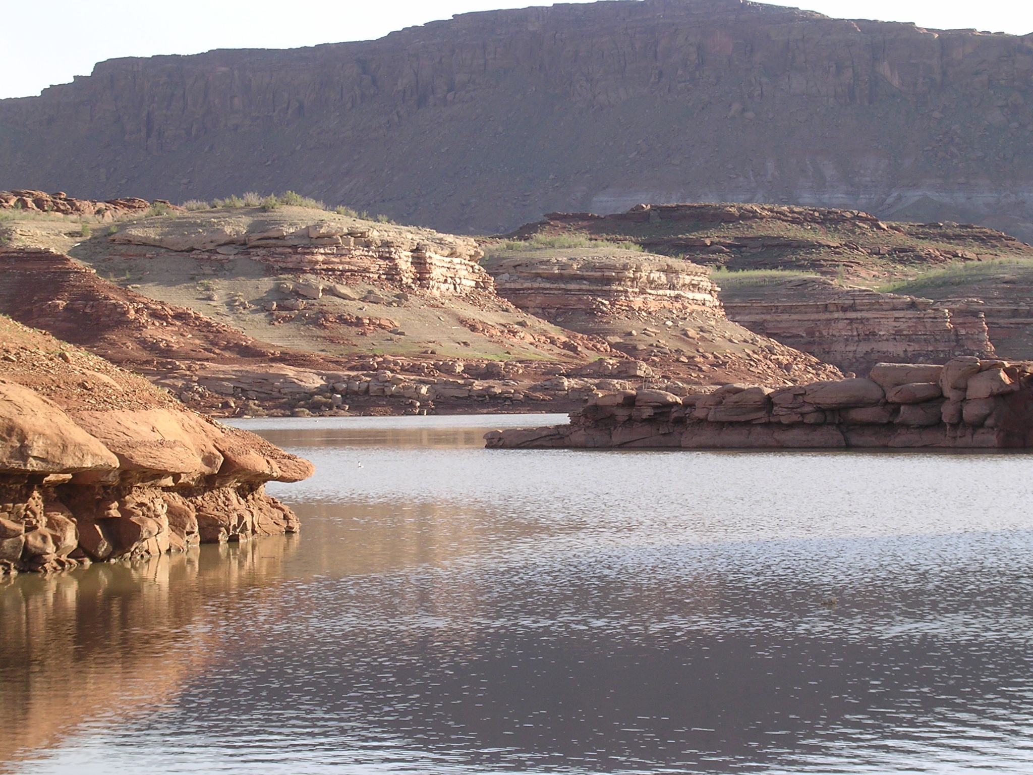
dscn1690.jpg
983.3 KB
Date: April 21, 2005
Description: The view looking northeast from Hite Overlook.

dscn1691.jpg
1053.6 KB
Date: April 21, 2005
Description: Telephoto shot of temporary boat ramp. Note slumping bank of recent sediment on right side of river, sandstone bluff on left.
dscn1692.jpg
977.5 KB
Date: April 21, 2005
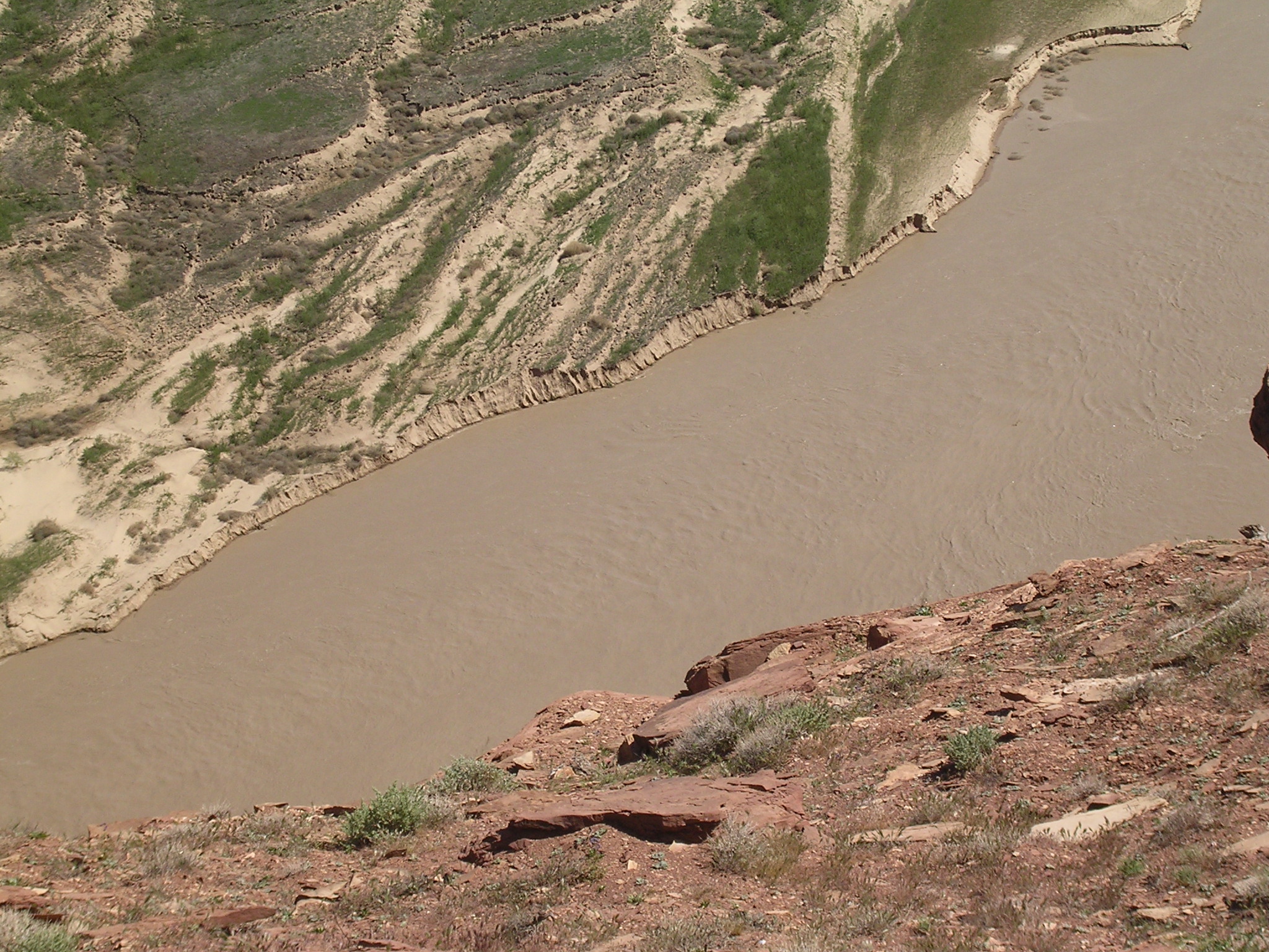
Description: Channel erosion just downstream from Hite Overlook.
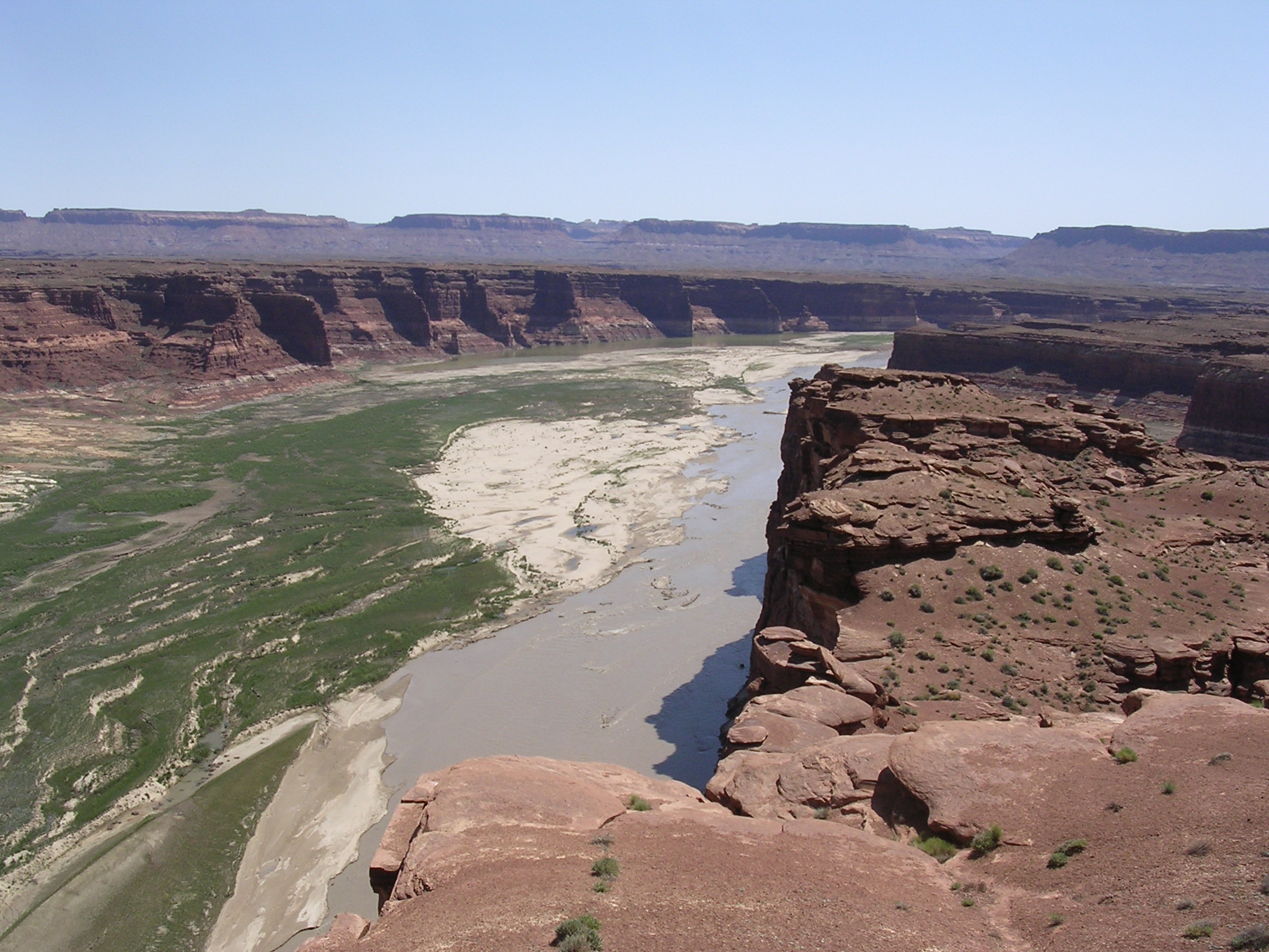
dscn1693.jpg
978.4 KB
Date: April 21, 2005
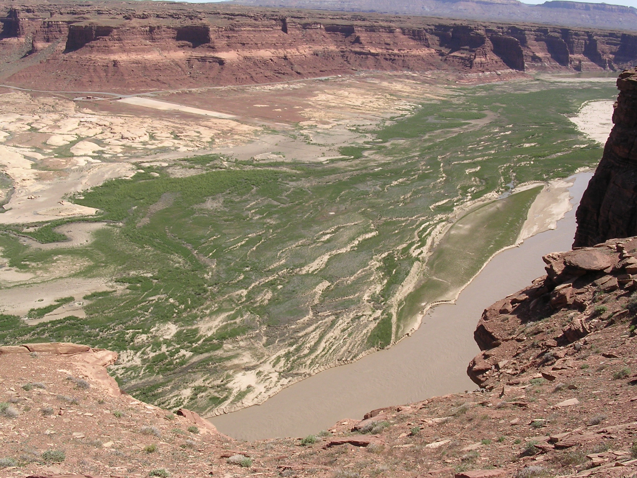
Description: The view looking downstream (southwest) from Hite Overlook. Compare to Box 44, slide 9.
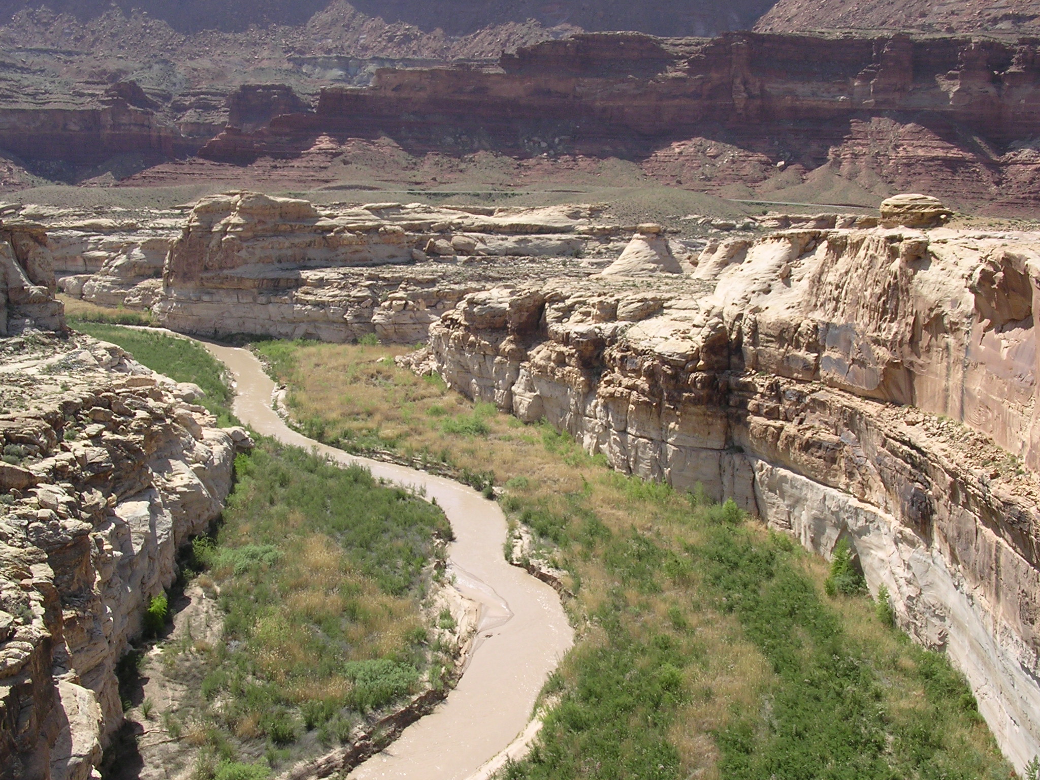
dscn1694.jpg
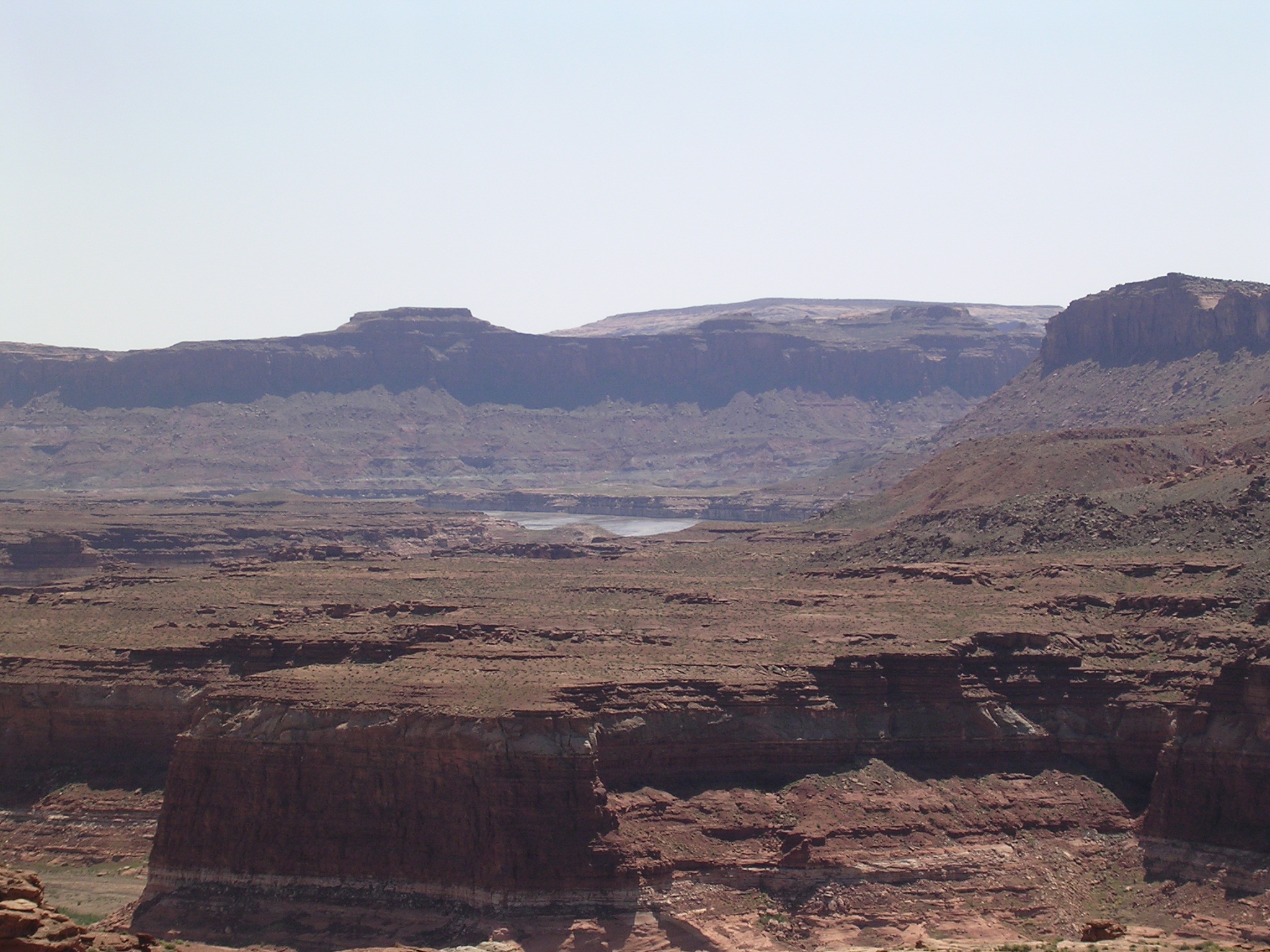
956.4 KB
Date: April 23, 2005
Description: Lake Powell pool (?) seen looking southwest from Hite Overlook. Water elevation 3558.41 feet.

dscn1695.jpg
1034.7 KB
Date: April 21, 2005
Description: Temporary boat ramp just upstream from Hite Overlook
dscn1696.jpg
1015.4 KB
Date: April 21, 2005
Description: Colorado River eroding sediment deposits just upstream from Hite Overlook.
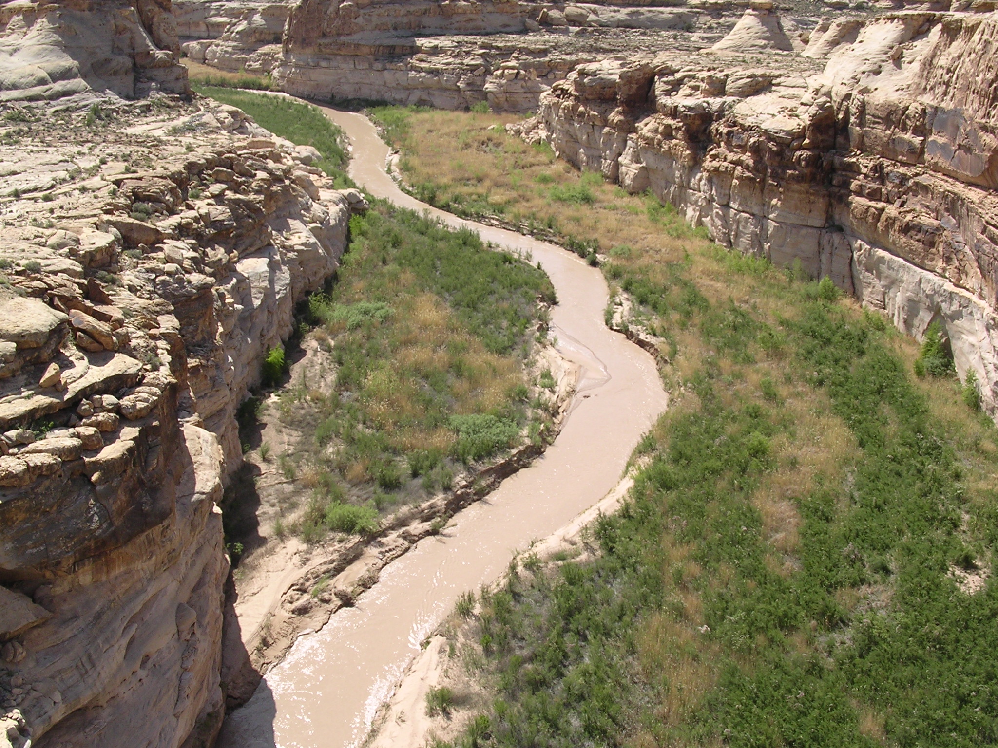
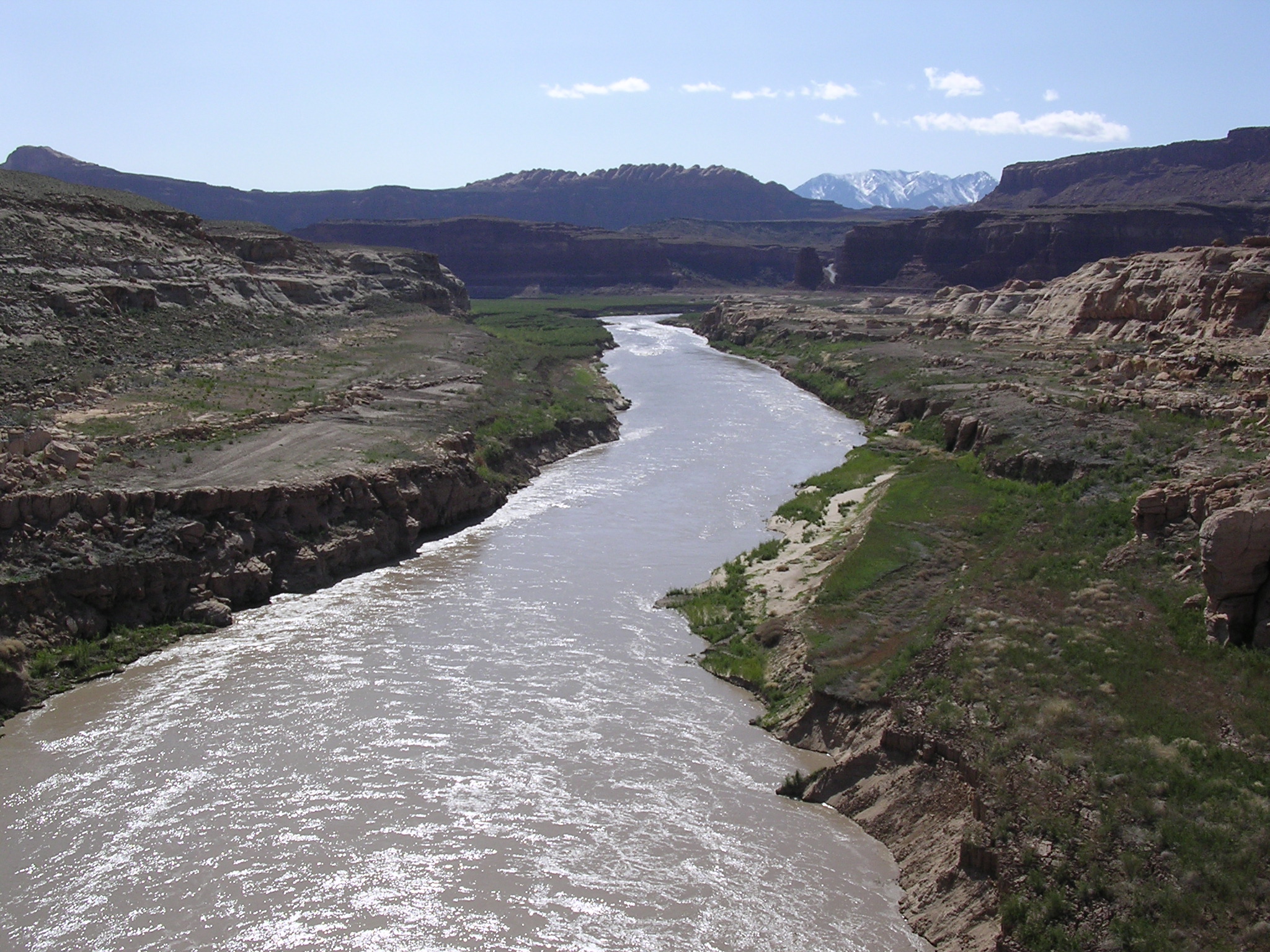
dscn1697.jpg
1027.7 KB
Date: April 21, 2005
Description: The view looking upstream (northeast) from Hite Overlook.

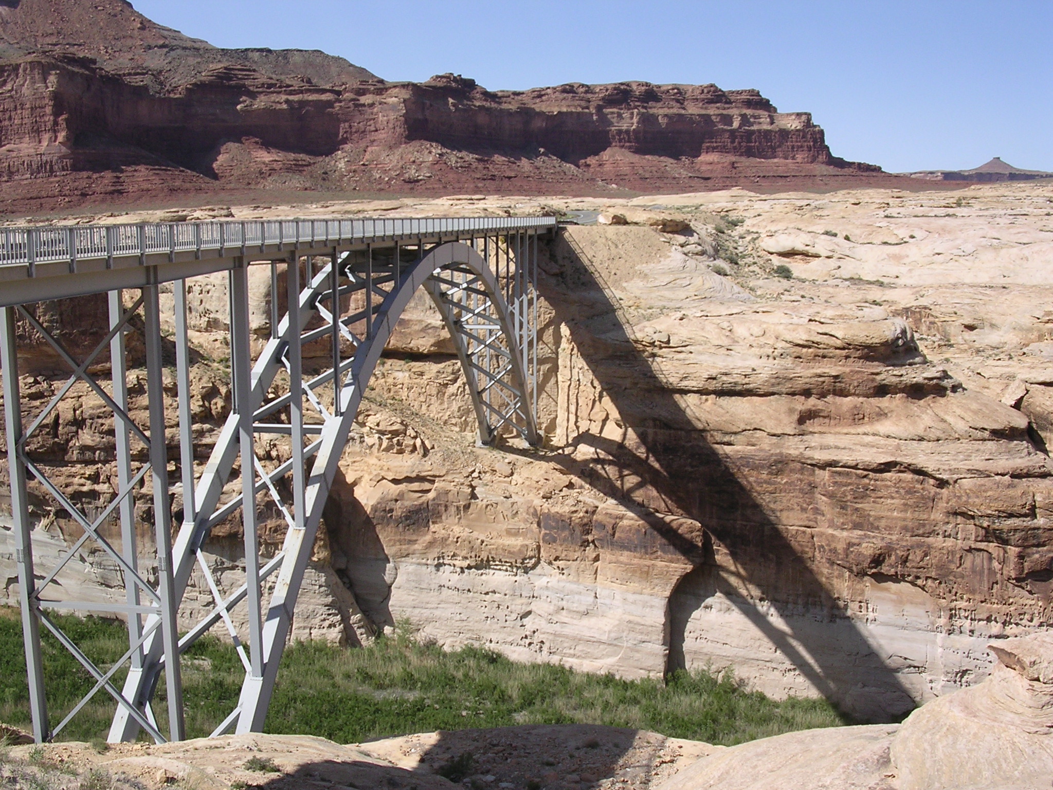
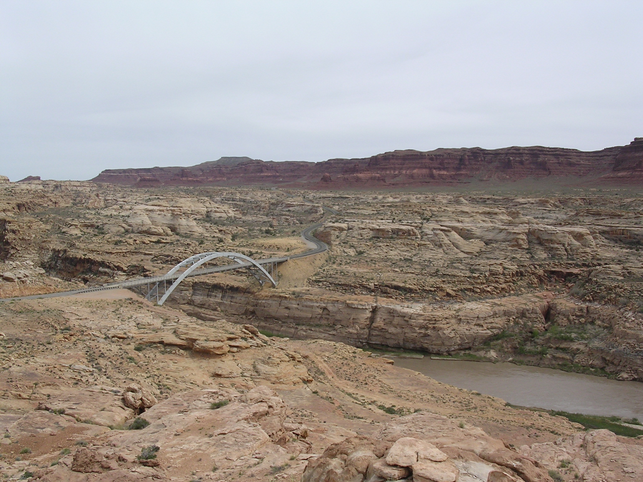
dscn1698.jpg
1014.6 KB
Date: April 21, 2005
Description: Utah Highway 95 bridge over Colorado River seen from the Hite Overlook.

dscn1699.jpg
986.7 KB
Date: April 21, 2005
Description: The view looking upstream (northeast) from the Hite Overlook.
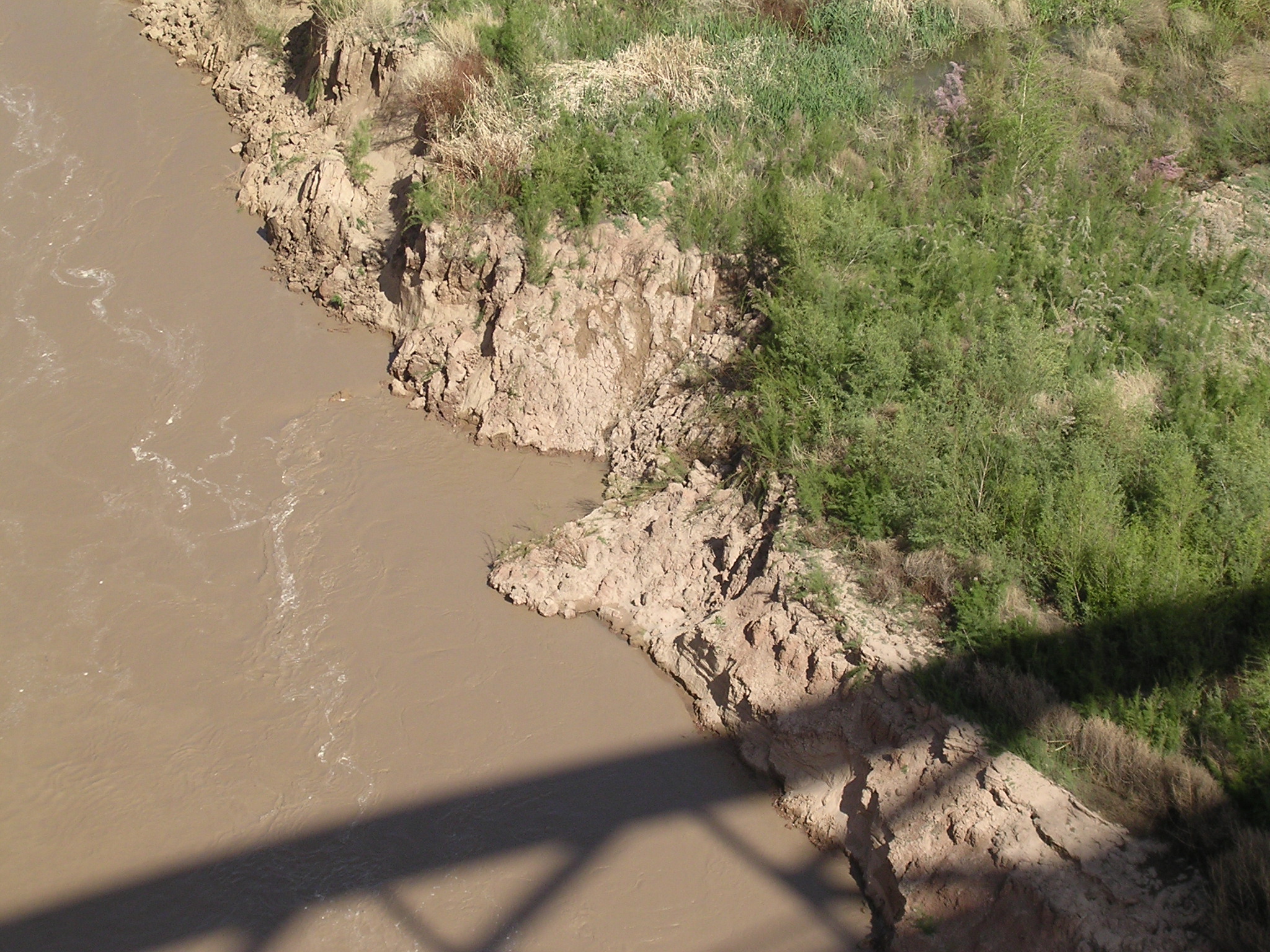
dscn1701.jpg
1061.2 KB
Date: April 21, 2005
Description: Eroded sediment and sluffing bank directly below the Hite Overlook.
dscn1702.jpg
1057.9 KB
Date: April 21, 2005
Description: Hite Marina (high and dry), sediment deposits, and the Colorado River downstream from the Hite Overlook.
dscn1703.jpg
1010.3 KB
Date: April 21, 2005
Description: The view looking upstream (northeast) from Hite Overlook. Compare to Box 44, slide 6.
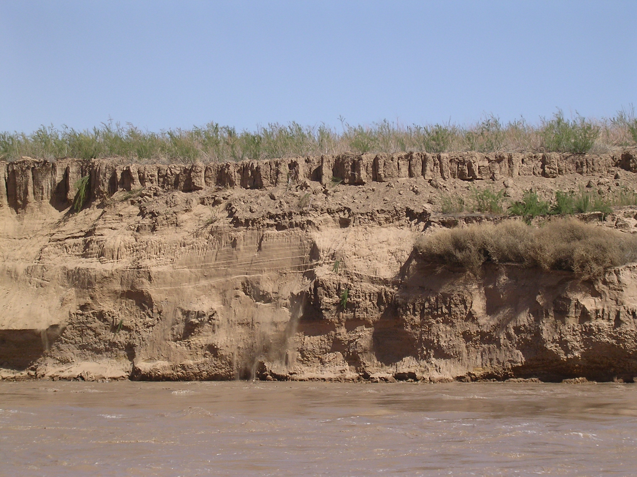
dscn1704.jpg
969.9 KB
Date: April 21, 2005
Description: Tamarisk and slumping river bank near temporary boat ramp neat Hite Overlook. N 37.88845 W 110.40018, elevation 3669 feet.

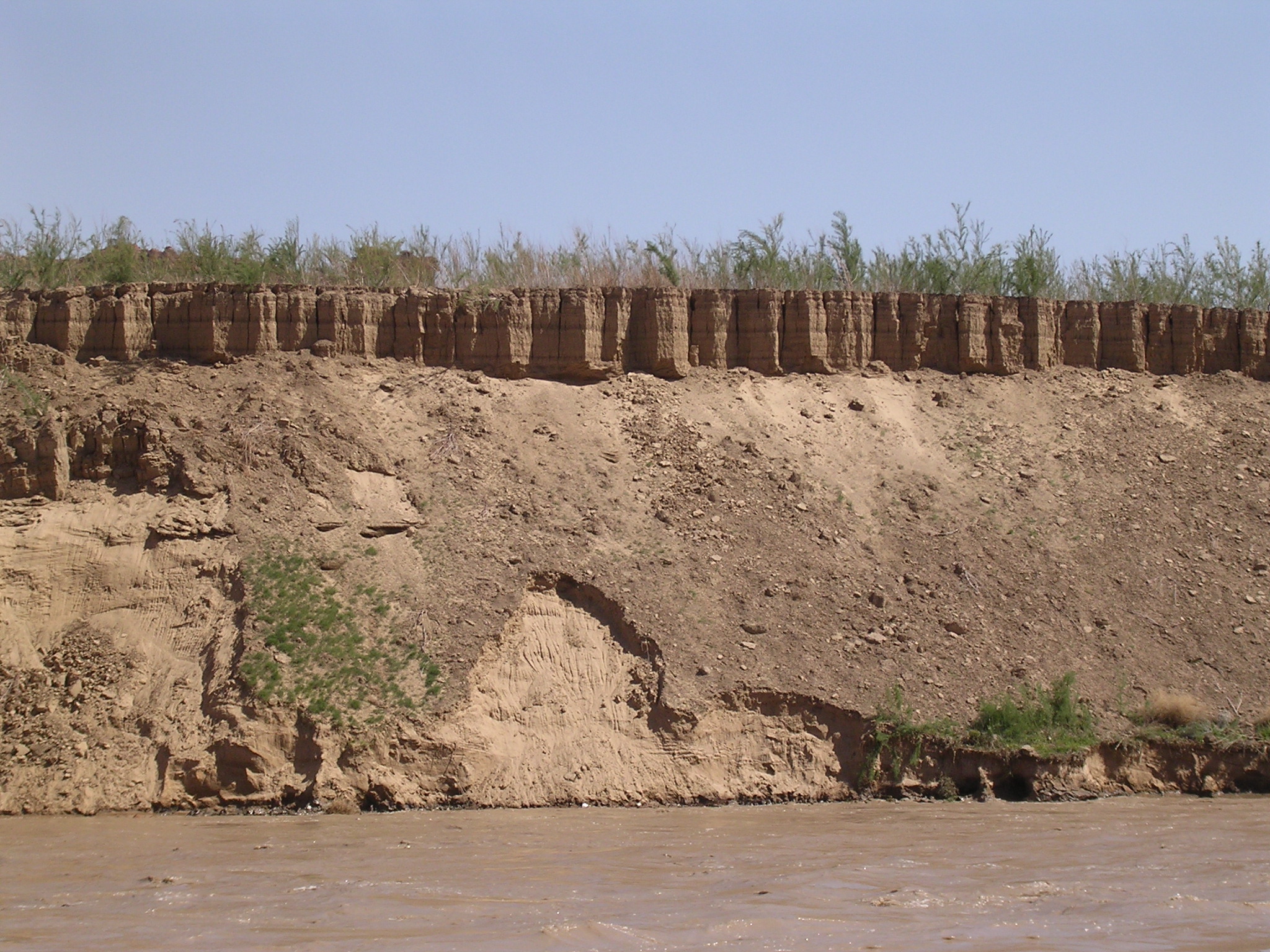
dscn1705.jpg
1031.4 KB
Date: April 21, 2005
Description: Cross-bedding and layers in exposed sediment bank.
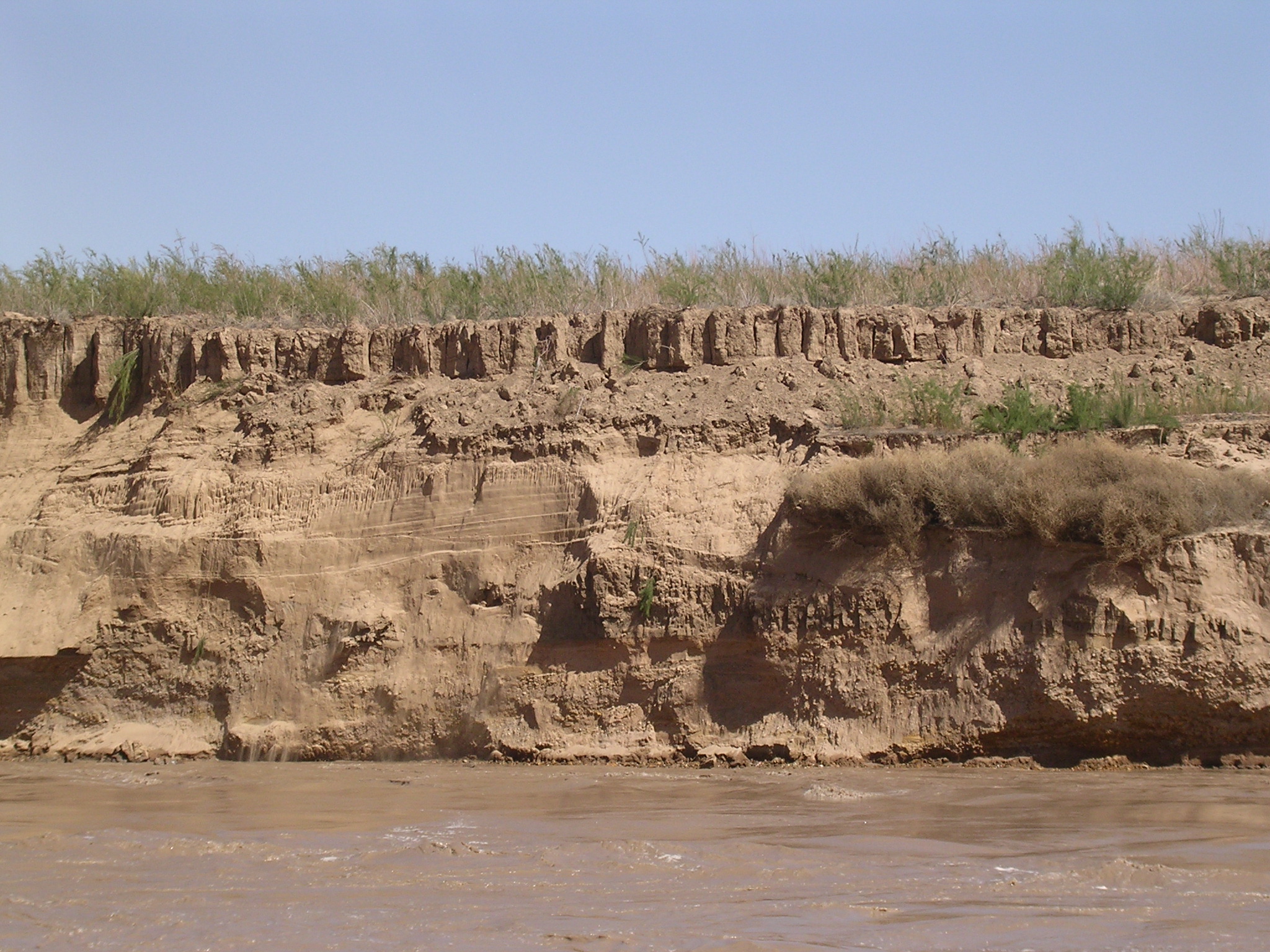
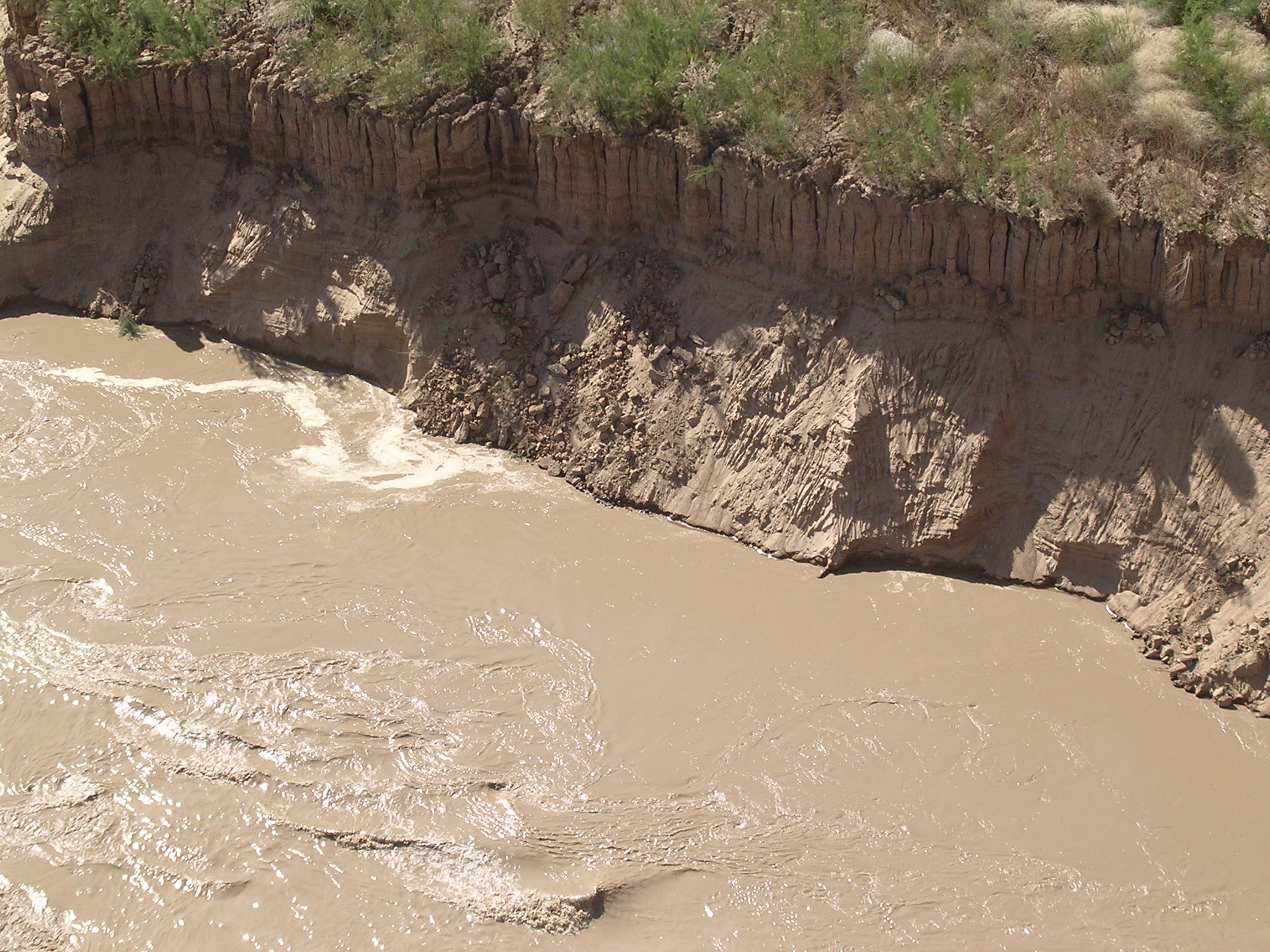
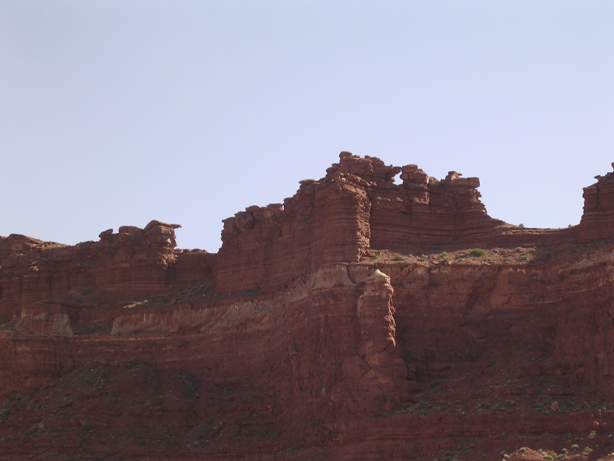
dscn1706.jpg
1007.6 KB
Date: April 21, 2005
Description: Layers and recent slumps in eroding sediment bank.
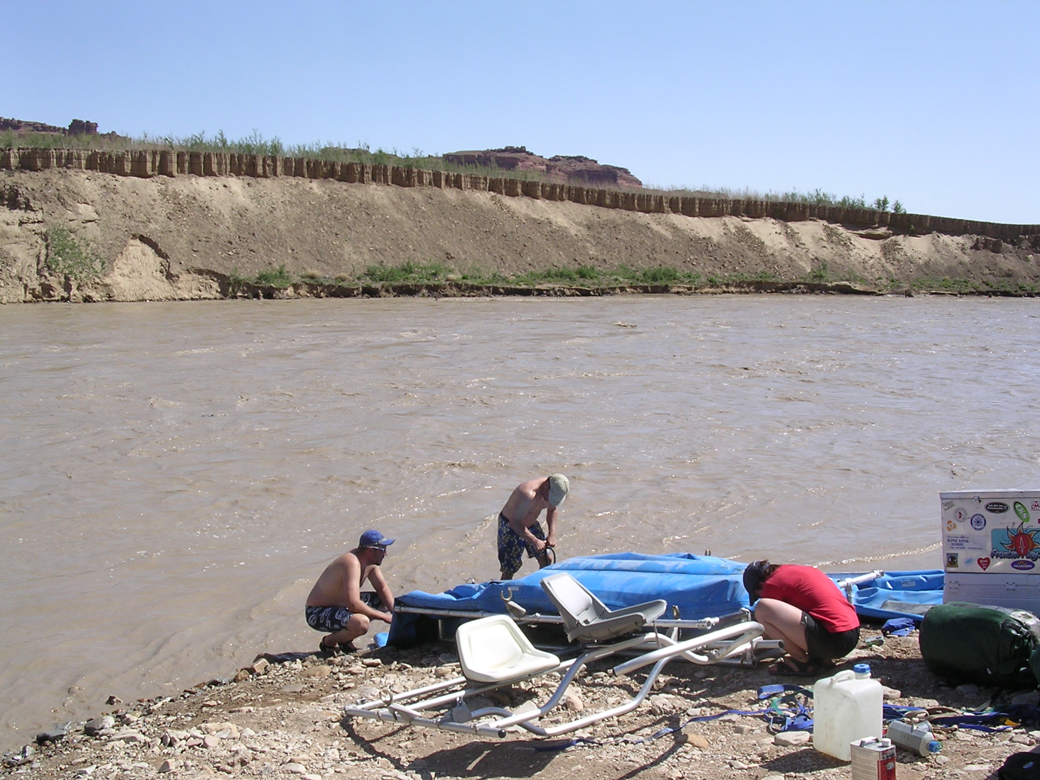
dscn1707.jpg
980.8 KB
Date: April 21, 2005
Description: River runners packing up boat at temporary ramp near Hite.

dscn1708.jpg
1000.8 KB
Date: April 21, 2005
Description: Slumping sediment bank.
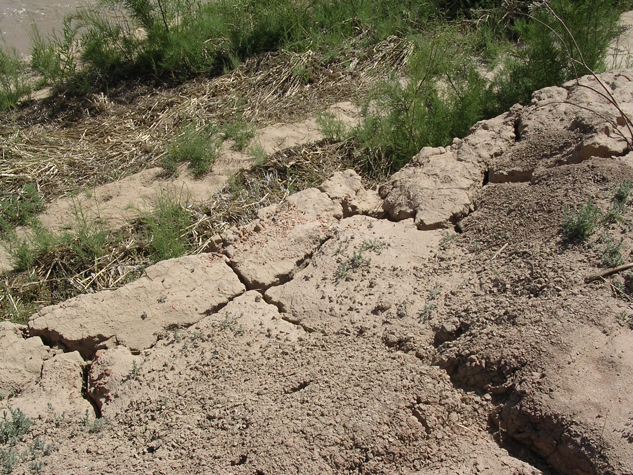
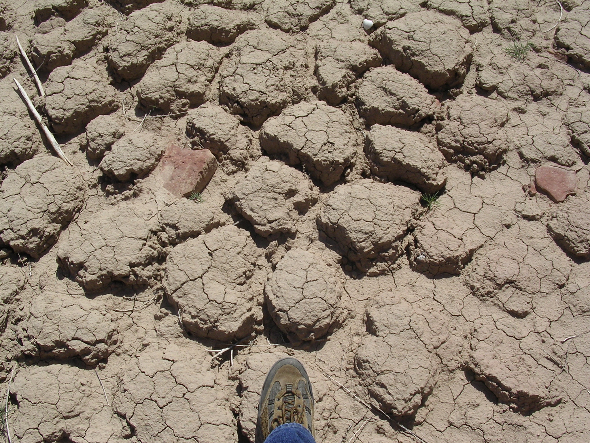
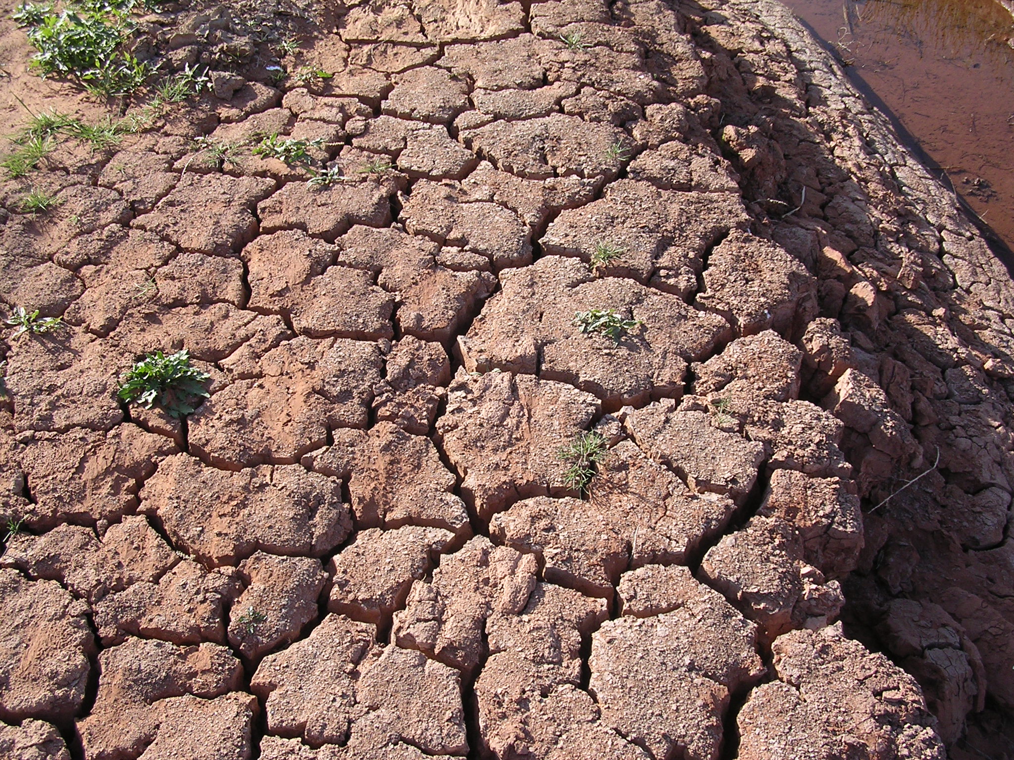
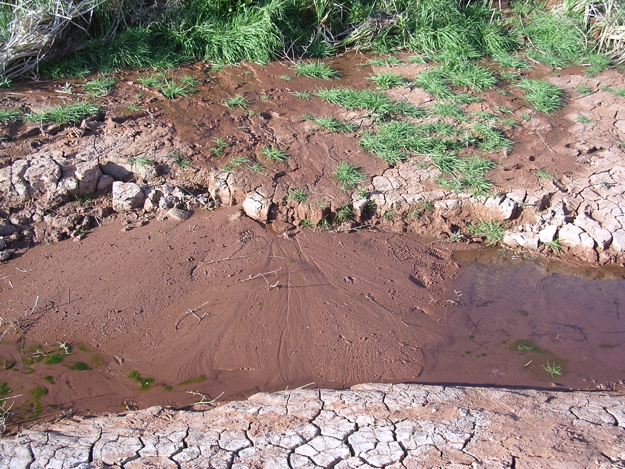
dscn1709.jpg
1180.3 KB
Date: April 21, 2005
Description: Cracks in dried-out sediment deposits by temporary boat ramp near Hite Overlook.
dscn1710.jpg
1003.1 KB
Date: April 21, 2005
Description: Exposed river cobbles near temporary boat ramp.
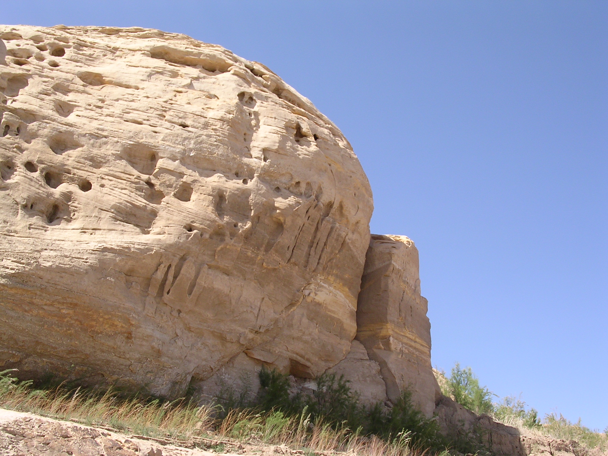
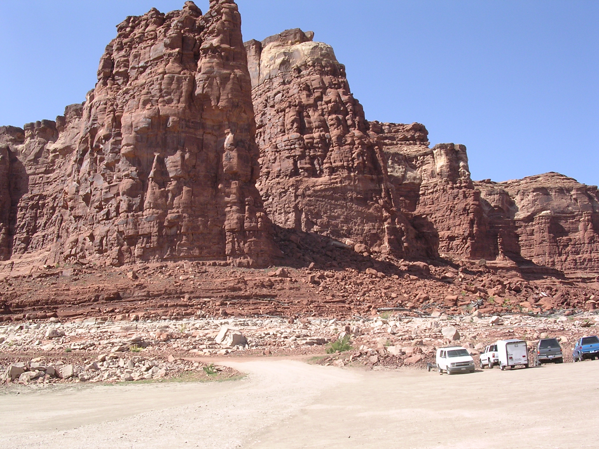
dscn1711.jpg
1019.4 KB
Date: April 21, 2005
Description: Overhanging sandstone bluff near temporary boat ramp.
dscn1712.jpg
981.0 KB
Date: April 21, 2005
Description: Sand cascading off of eroding sediment bank.

dscn1713.jpg
992.9 KB
Date: April 21, 2005
Description: Sand cascading off of eroding sediment bank.
dscn1714.jpg
987.9 KB
Date: April 21, 2005
Description: Sand cascading off of eroding sediment bank.
dscn1715.jpg
1068.5 KB
Date: April 21, 2005
Description: High water mark and sandstone cliffs above temporary boat ramp near Hite Overlook.

dscn1716.jpg
1141.1 KB
Date: April 21, 2005
Description: Cracked and eroded sediment on top of older sandstone near temporary boat ramp near Hite Overlook.
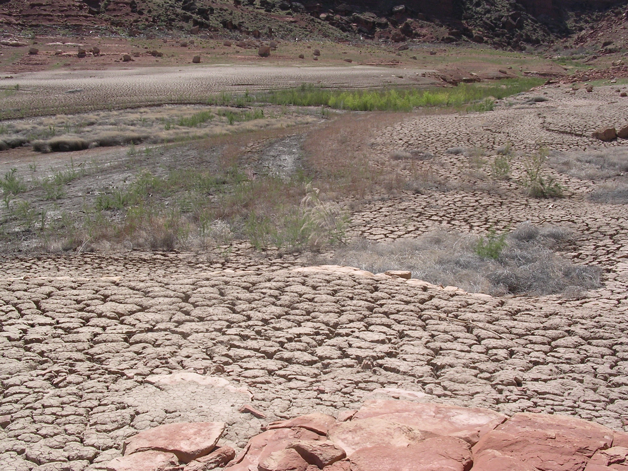
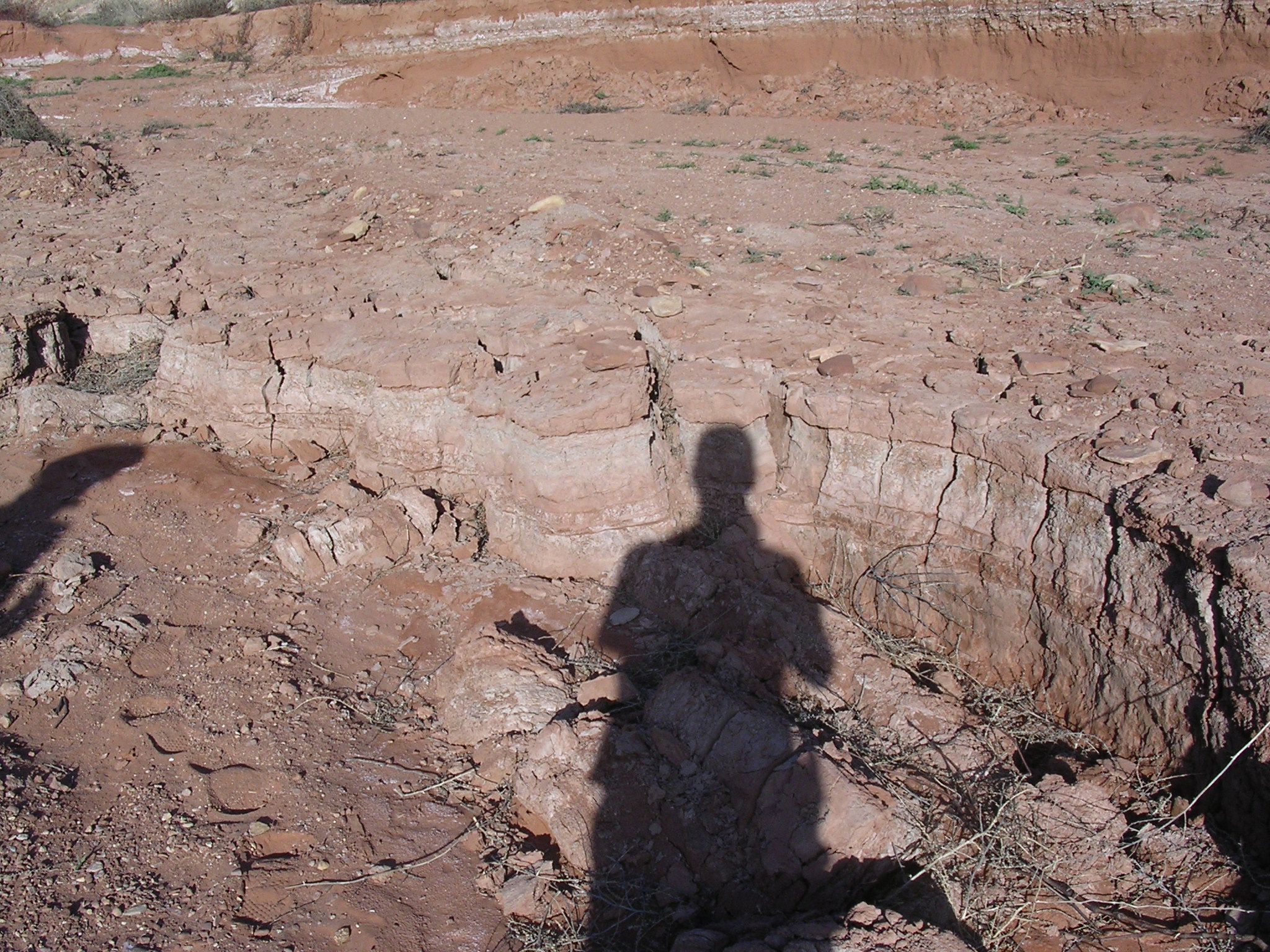
dscn1717.jpg
1098.3 KB
Date: April 21, 2005
Description: Scale of the cracked and eroded sediment.
dscn1718.jpg
1116.9 KB
Date: April 21, 2005
Description: Sediment deposits near Hite Overlook.
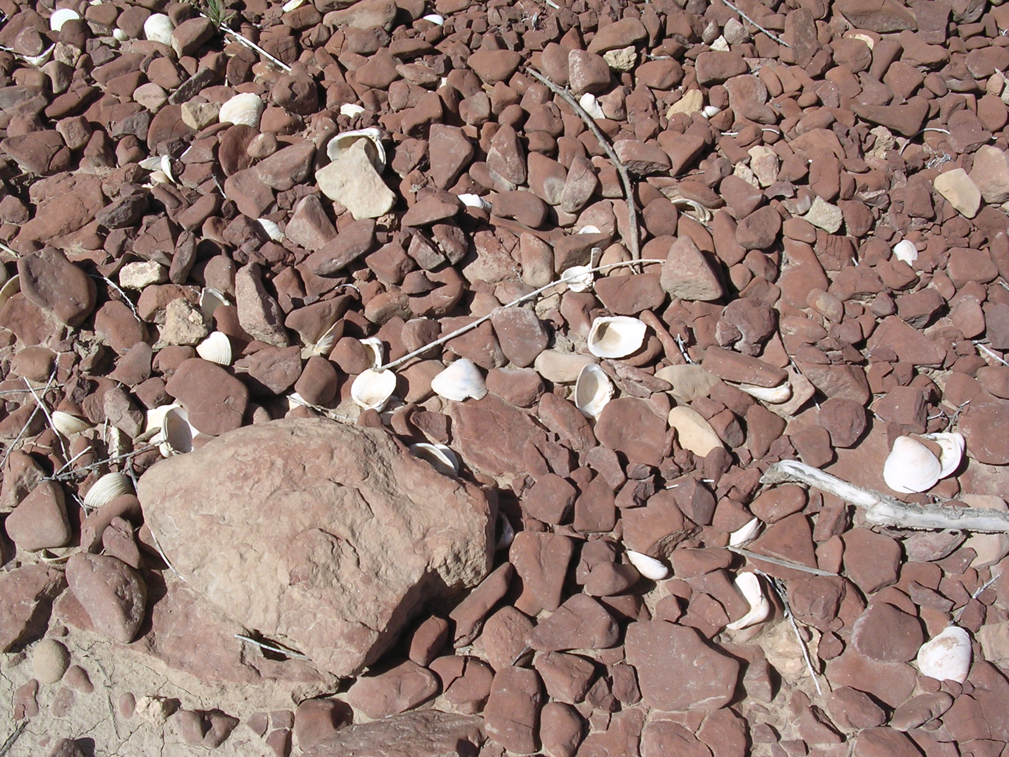
dscn1719.jpg
1043.2 KB
Date: April 21, 2005
Description: Shells (from Lake Powell) near temporary boat ramp near Hite Overlook.

dscn1720.jpg
937.9 KB
Date: April 21, 2005
Description: Dirty Devil River bridge on Utah Highway 95. N 37.91713 W 110.38823 elevation 3864 feet.
dscn1722.jpg
1020.7 KB
Date: April 21, 2005
Description: The view looking upstream from the Dirty Devil River bridge. Compare to Box 44, slide 16.
dscn1723.jpg
1085.6 KB
Date: April 21, 2005
Description: The view looking downstream from the Dirty Devil River bridge. Compare to Box 44, slide 17.
dscn1724.jpg
1108.2 KB
Date: April 21, 2005
Description: The view looking downstream from Dirty Devil River bridge.
dscn1725.jpg
1072.5 KB
Date: April 23, 2005
Description: Utah State Highway 95 Dirty Devil River Bridge. Compare to Box 44, slide 15.
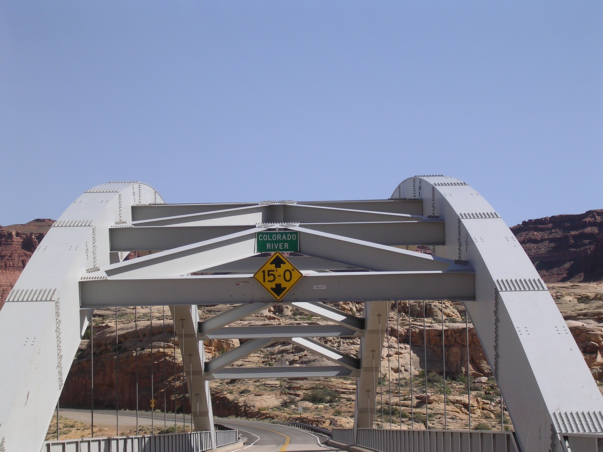
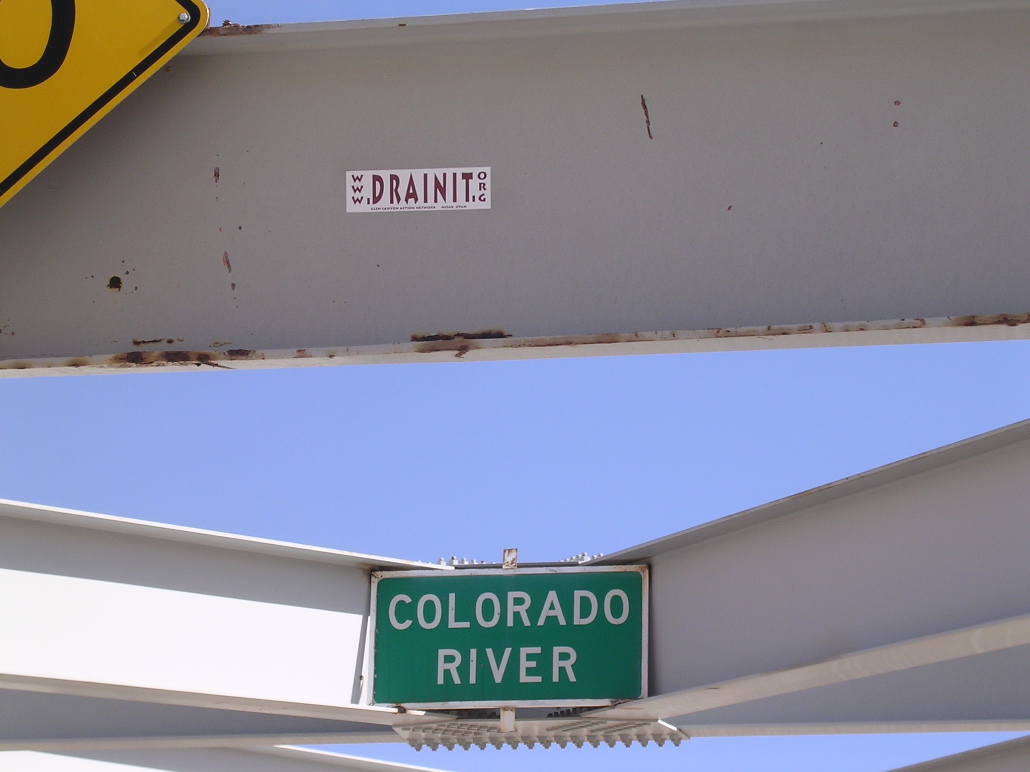
dscn1726.jpg
1011.6 KB
Title: A River Once More
Date: April 21, 2005
Description: Utah Highway 95 Colorado River (Narrow Canyon) bridge. N 37.89220 W 110.37131 elevation 3786 feet.

dscn1727.jpg
1123.1 KB
Date: April 21, 2005
Description: Sediment eroding below Narrow Canyon bridge.
dscn1728.jpg
1055.9 KB
Title: Hear hear!
Date: April 21, 2005
Description: Editorial comments on Narrow Canyon bridge.
dscn1729.jpg
1042.4 KB
Date: April 21, 2005
Description: The view looking upstream (east) from Narrow Canyon bridge. Compare to Box 44, slide 14.

dscn1730.jpg
1017.5 KB
Date: April 21, 2005
Description: Sandstone bluff below Narrow Canyon bridge, no slumping or visible erosion.
dscn1731.jpg
1041.0 KB
Date: April 21, 2005
Description: Sediment below Narrow Canyon bridge being eroded by Colorado River.
dscn1732.jpg
905.1 KB
Date: April 21, 2005
Description: Colorado River, Utah Highway 95, Henry Mountains from Narrow Canyon bridge.
dscn1733.jpg
1056.4 KB
Date: April 21, 2005
Description: The view looking downstream (west) from Narrow Canyon bridge.
dscn1734.jpg
1047.6 KB
Date: April 21, 2005
Description: Eroding sediment below Narrow Canyon Bridge.
dscn1735.jpg
1068.1 KB
Date: April 21, 2005
Description: Sedment eroding, sandstone not eroding below Narrow Canyon bridge.
dscn1736.jpg
1086.4 KB
Date: April 21, 2005
Description: Wider view of sediment erosion below Narrow Canyon bridge.
dscn1737.jpg
998.9 KB
Date: April 21, 2005
Description: Sandstone formations (including overhangs) near Hite, seen from Narrow Canyon bridge.
dscn1738.jpg
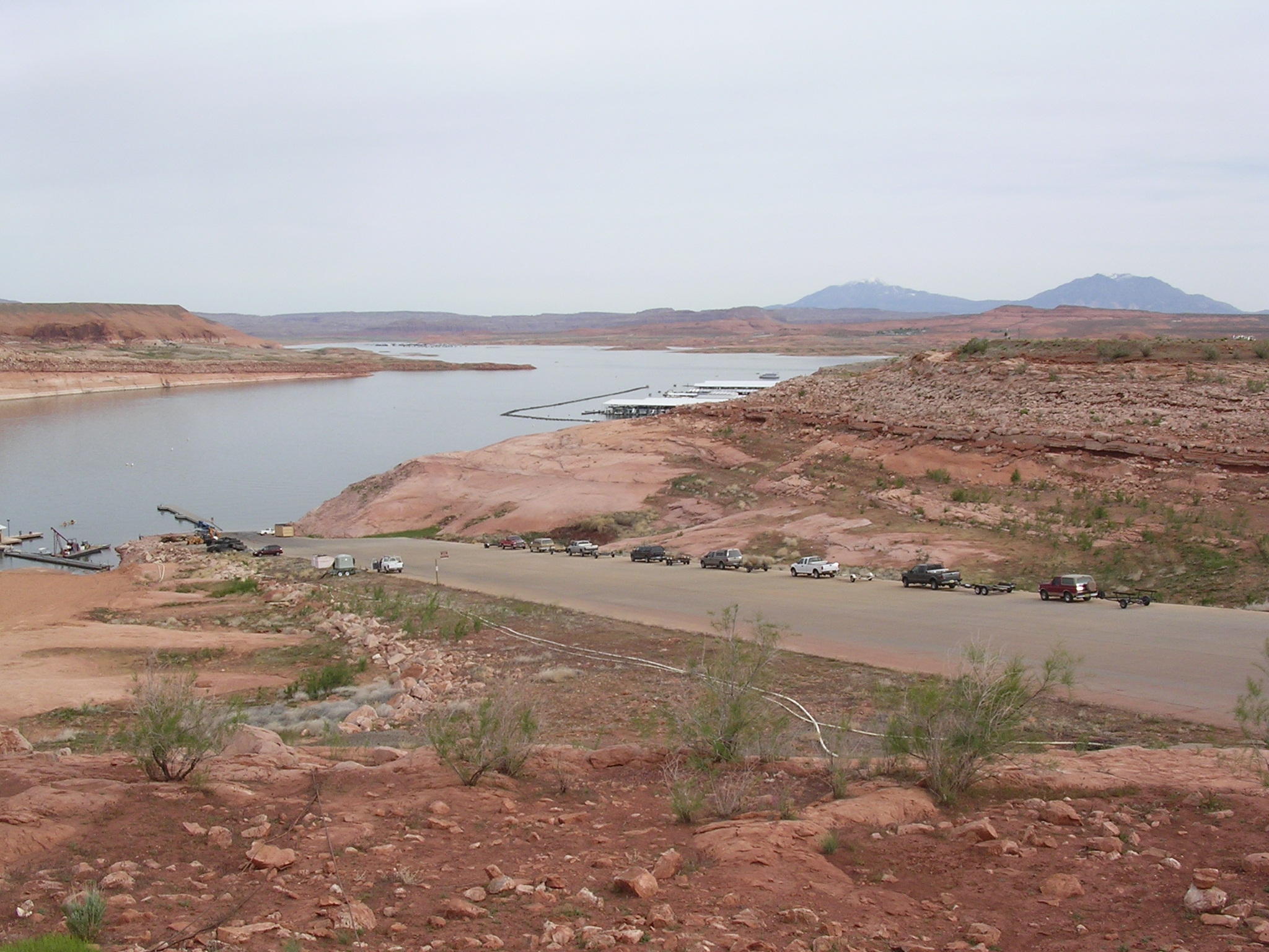
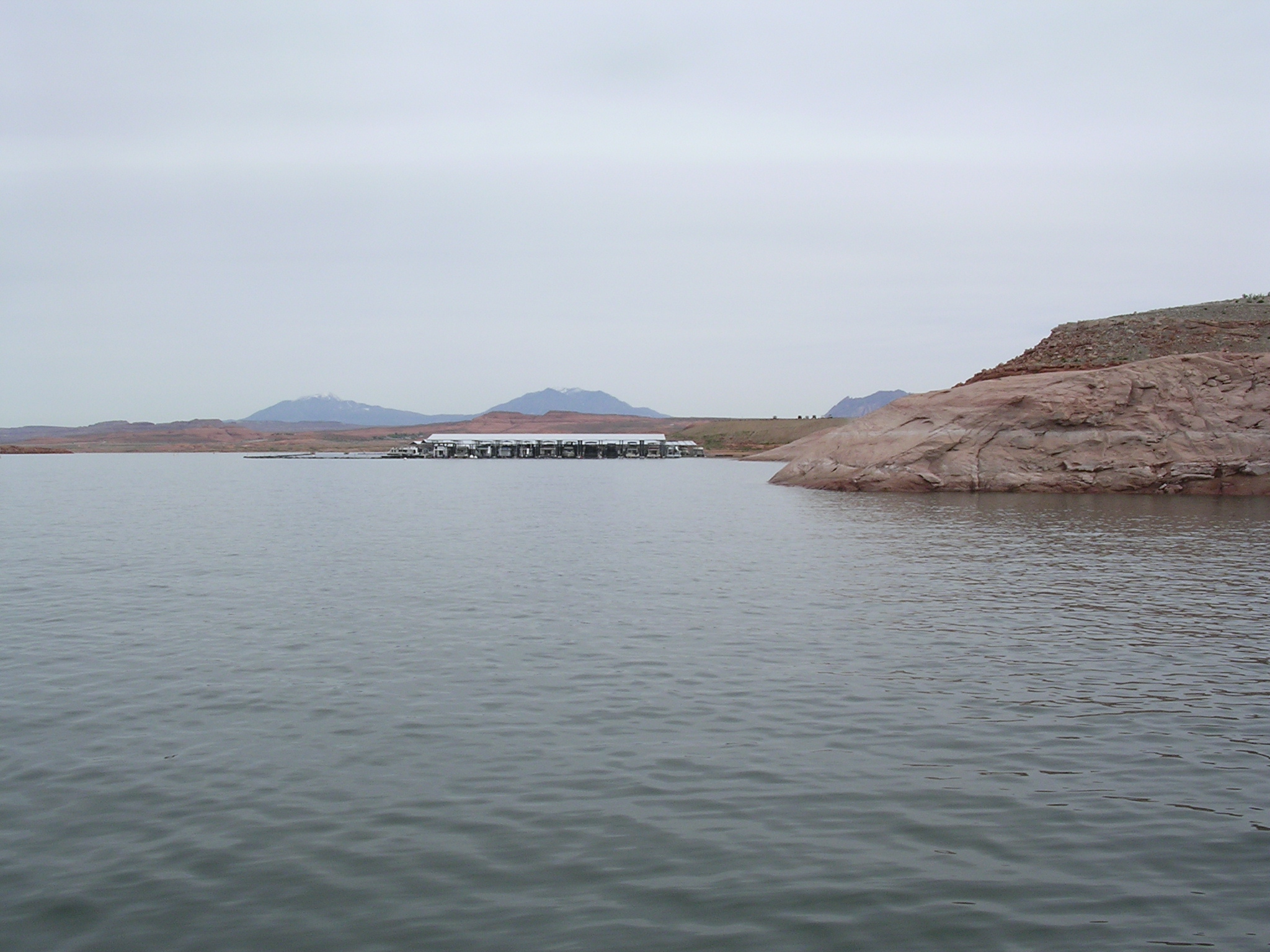
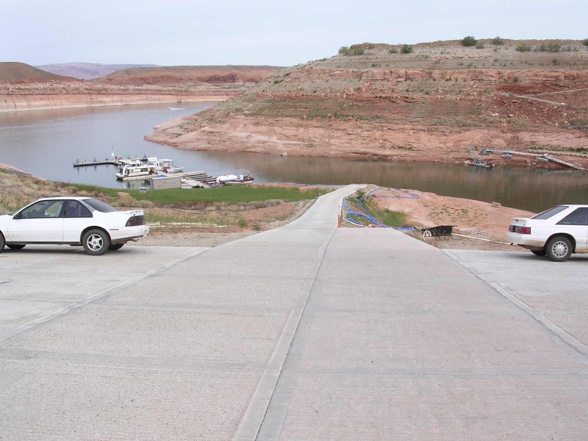
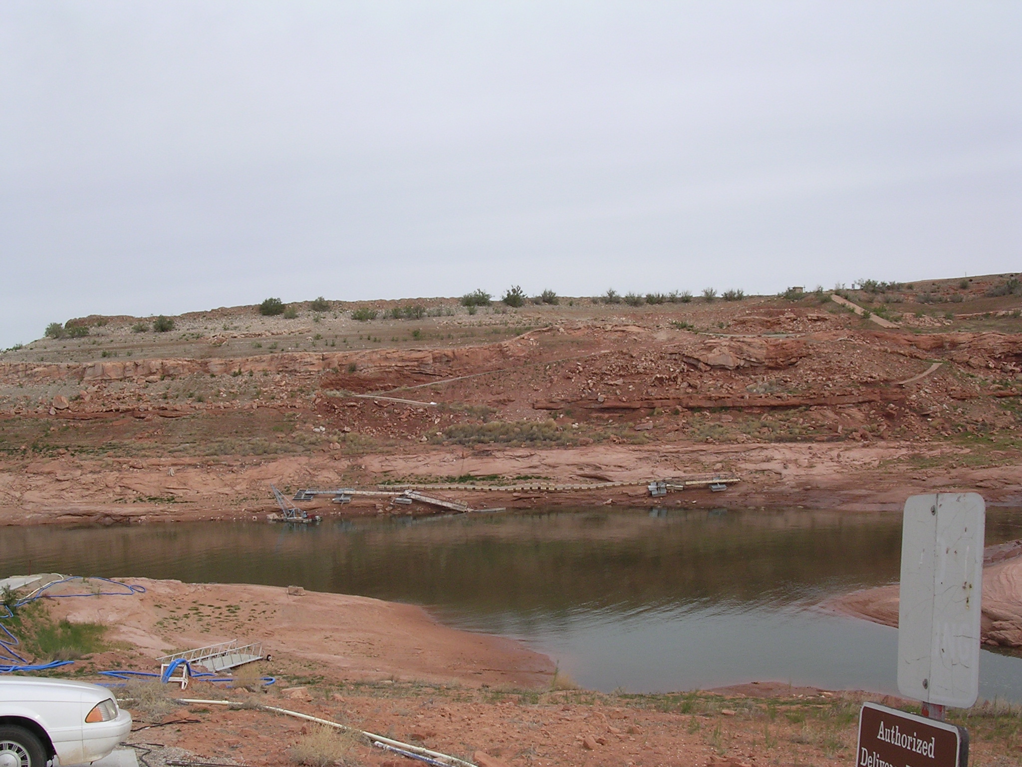
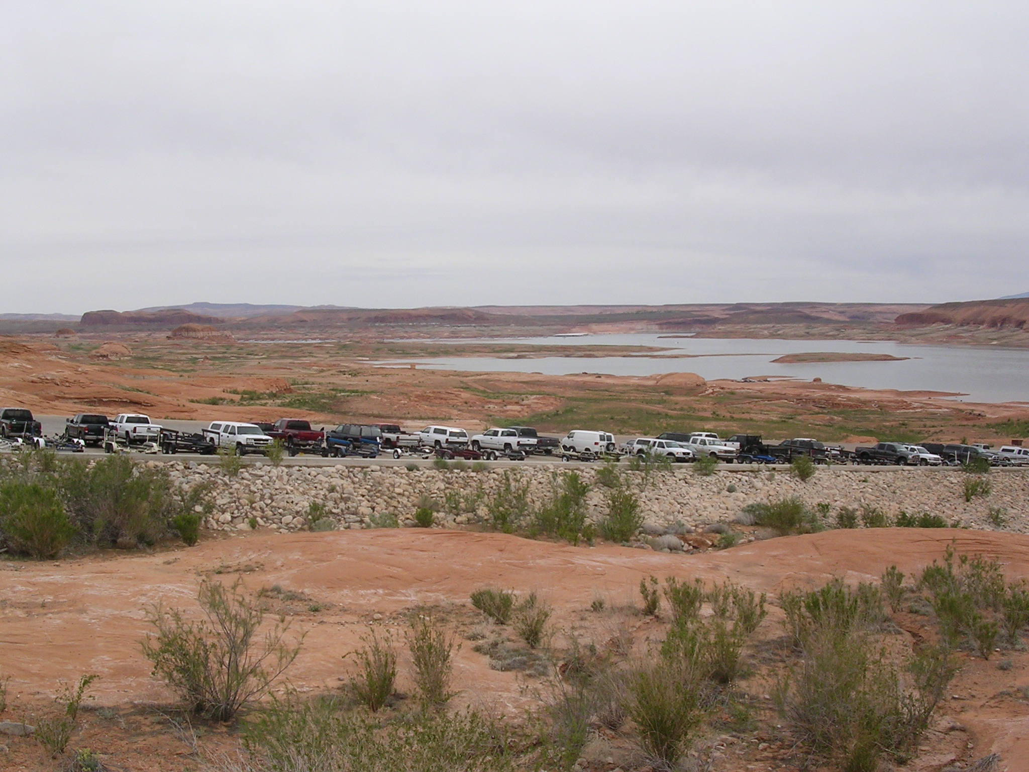
924.9 KB
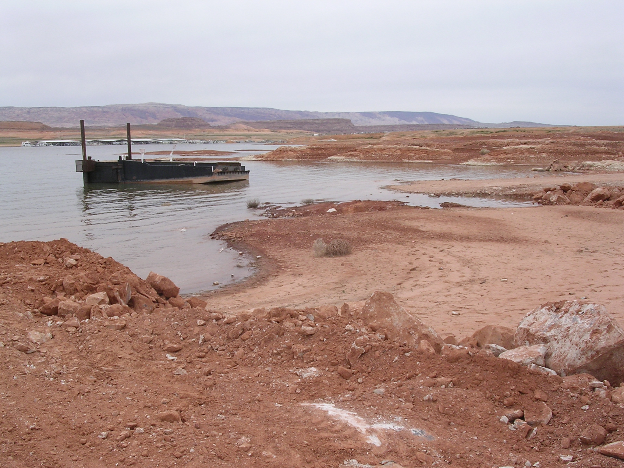
Title: Where's the water?
Date: April 21, 2005
Description: The boat ramp at Hite Marina N 37.87255 W 110.39549 elevation 3715.
dscn1739.jpg
990.6 KB
Date: April 21, 2005
Description: Butte at the mouth of North Wash seen from Hite boat ramp.
dscn1740.jpg
963.3 KB
Date: April 21, 2005
Description: The view looking upriver (northeast) from the Hite boat ramp. Compare to WPD Box 18 slide 10.
dscn1741.jpg
969.2 KB
Date: April 21, 2005
Description: Overhanging rock formations near Hite Marina.
dscn1742.jpg
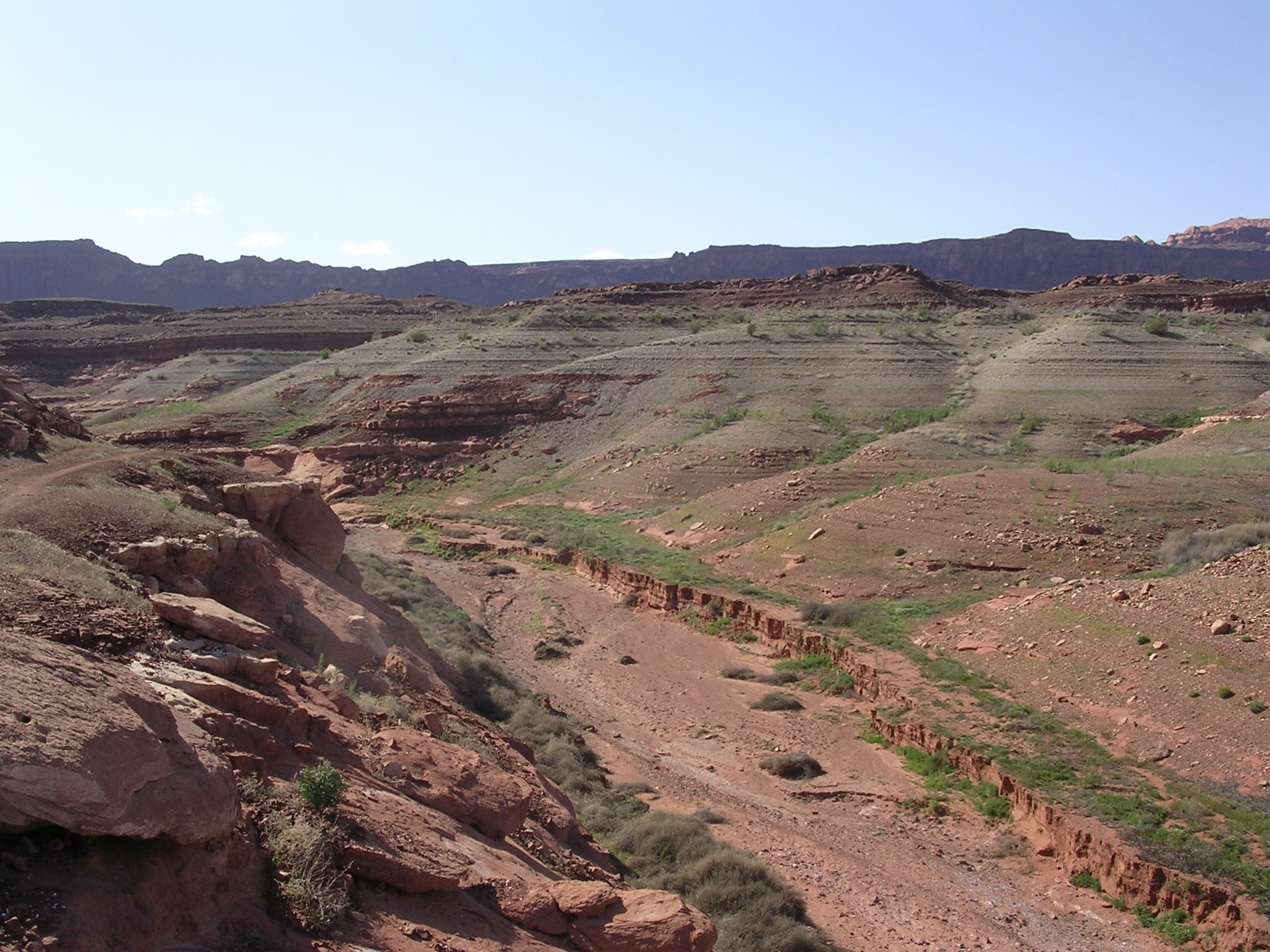
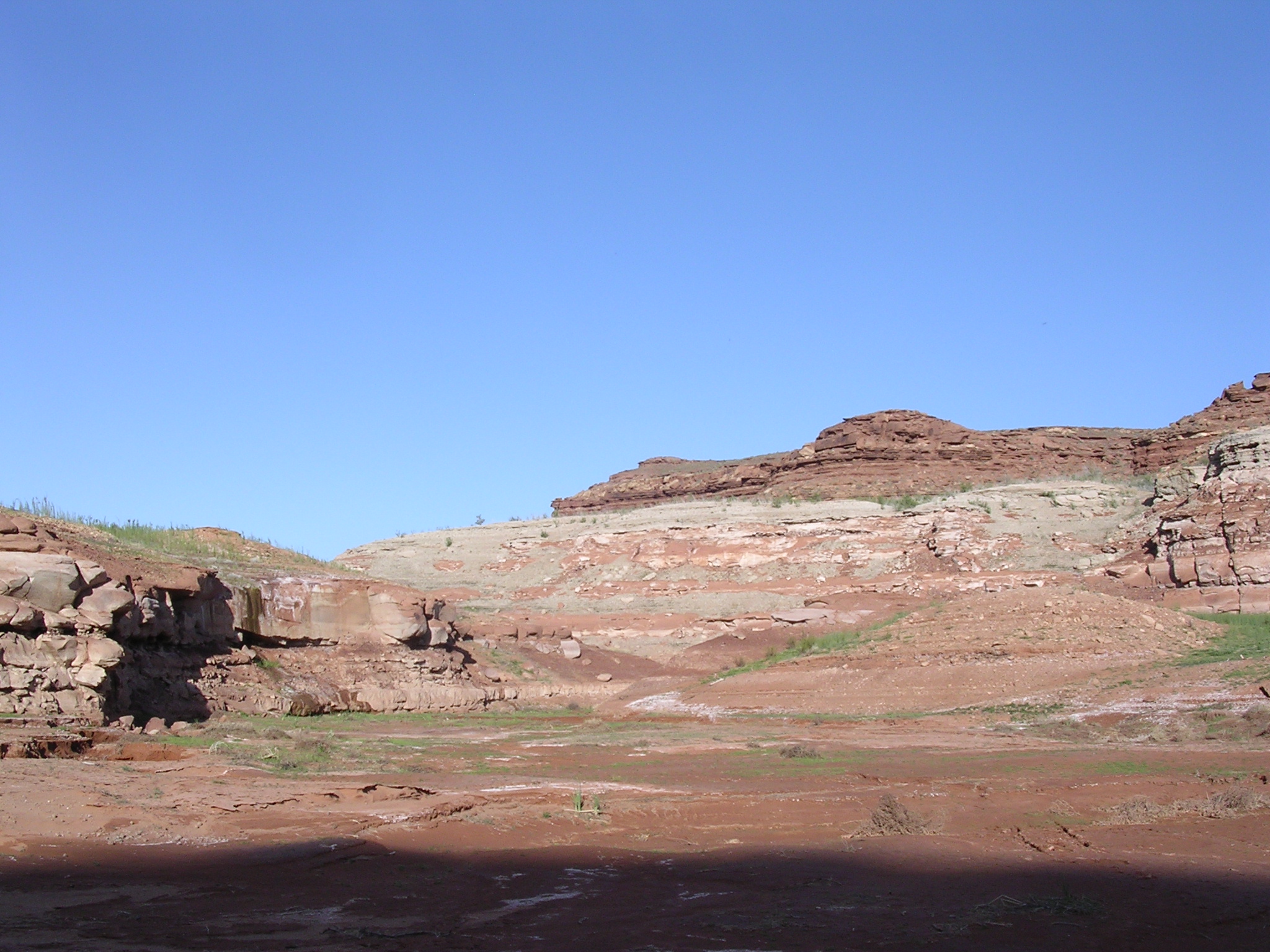
985.9 KB
Date: April 21, 2005
Description: Eroded sediment in Farley Canyon, Utah N 37.81943 W 110.40443 elevation 3652 feet.
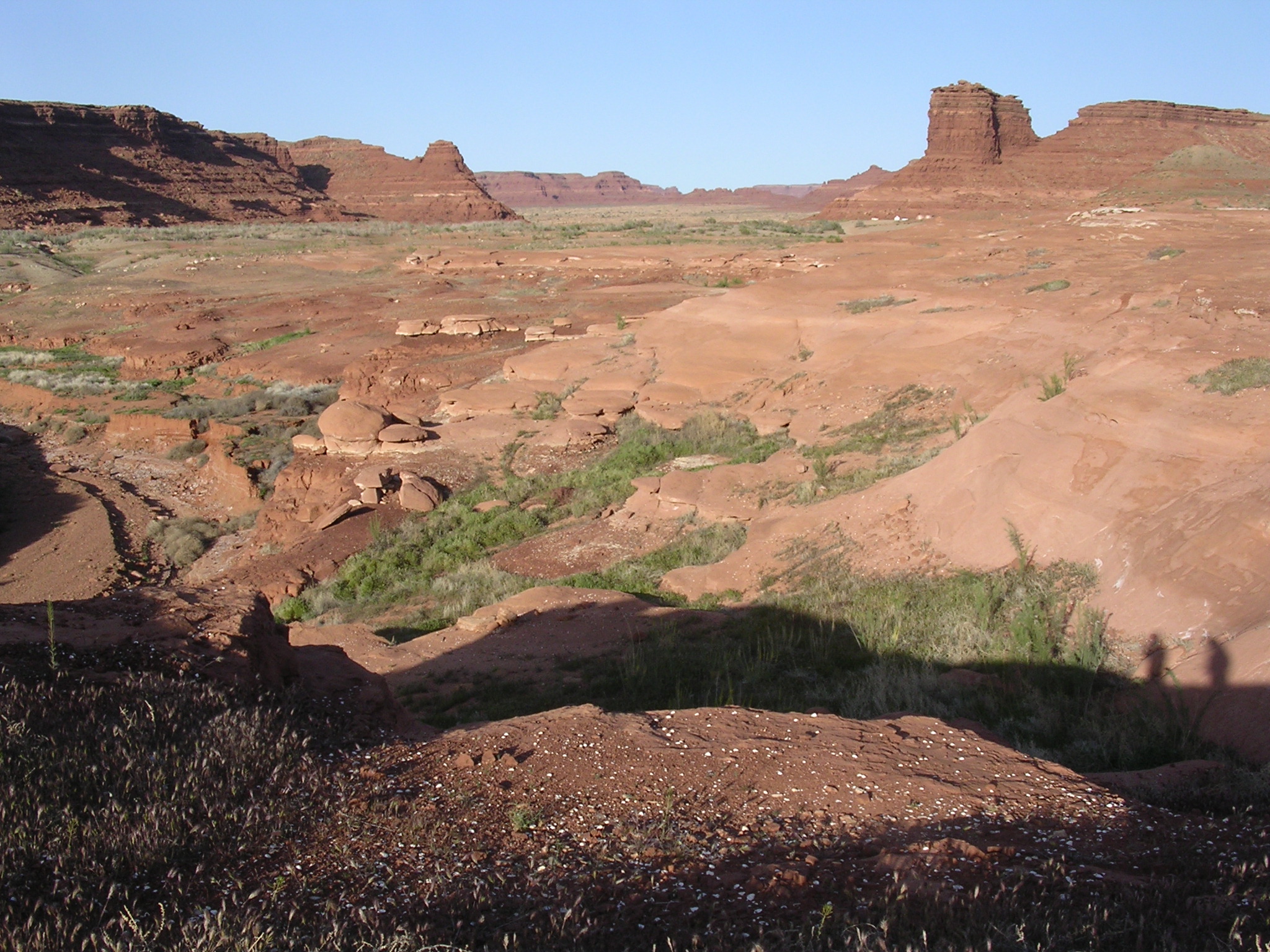
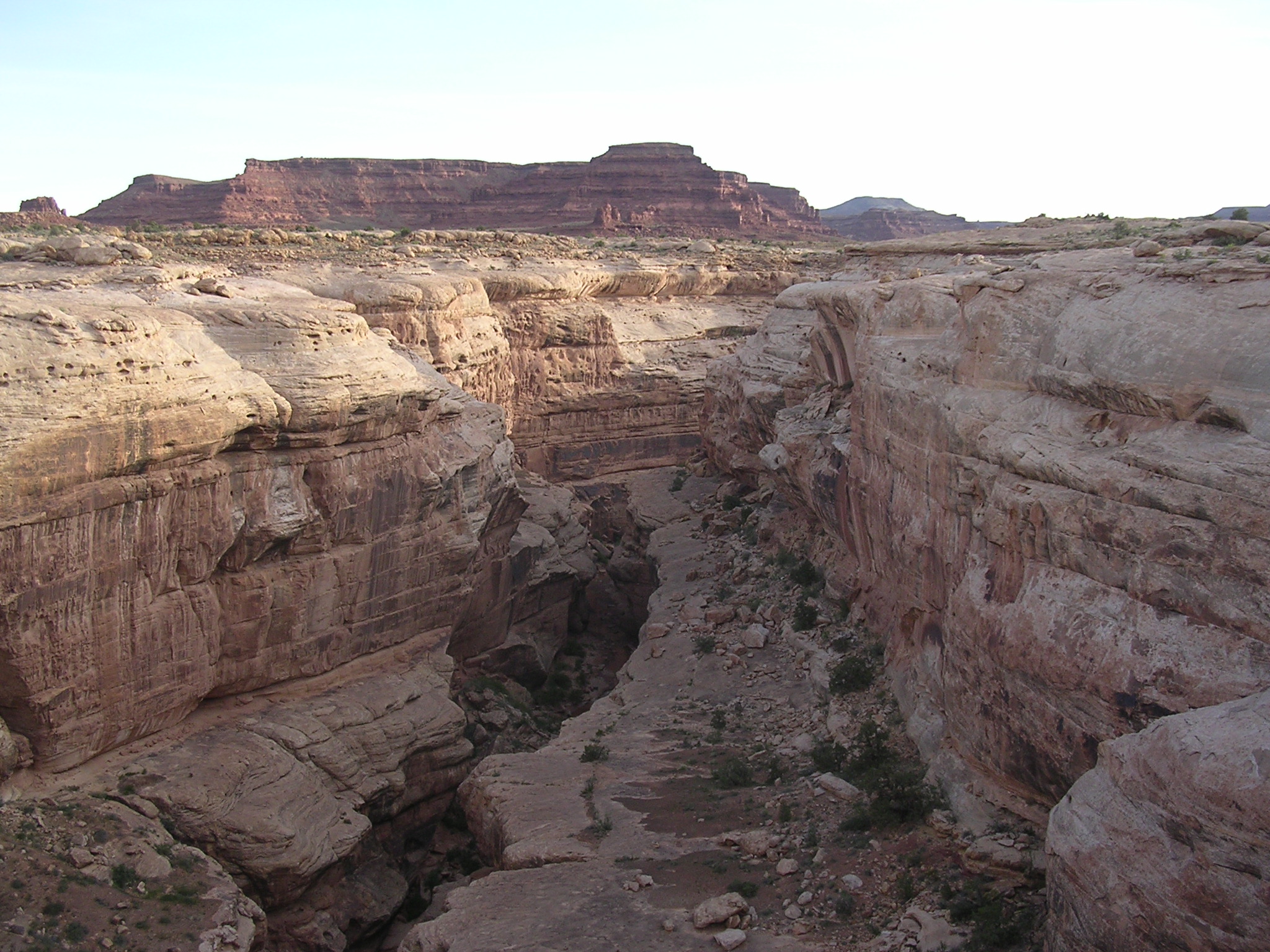
dscn1743.jpg
1045.8 KB
Date: April 21, 2005
Description: Farley Canyon, Utah, looking northeast.
dscn1744.jpg
920.8 KB
Date: April 21, 2005
Description: Bluff above parking area at Farley Canyon.
dscn1745.jpg
911.4 KB
Date: April 21, 2005
Description: Farley Canyon and Henry Mountains, Utah.
dscn1746.jpg
1181.9 KB
Date: April 21, 2005
Description: Eroding sediment in Farley Canyon, Utah.

dscn1747.jpg
1220.9 KB
Date: April 21, 2005
Description: Sediment bank in Farley Canyon, Utah.
dscn1748.jpg
1239.6 KB
Date: April 21, 2005
Description: Cracked dried sediment in Farley Canyon, Utah.
dscn1749.jpg
1000.5 KB
Date: April 21, 2005
Description: Lake Powell in Farley Canyon, Utah. Water elevation 3558.41 feet.
dscn1750.jpg
1032.9 KB
Date: April 21, 2005
Description: View looking upstream (east) from water's edge in Farley Canyon, Utah.
dscn1751.jpg
1015.4 KB
Date: April 21, 2005
Description: Lake Powell in Farley Canyon, Utah.
dscn1752.jpg
1027.8 KB
Date: April 21, 2005
Description: Stagnant water of Lake Powell in Farley Canyon, Utah.
dscn1753.jpg
1210.0 KB
Date: April 21, 2005
Description: Small alluvial fan in Farley Canyon, Utah.
dscn1754.jpg
1075.2 KB
Date: April 21, 2005
Description: Dried, cracked, and eroding sediment in Farley Canyon, Utah.

dscn1755.jpg
1037.6 KB
Date: Parking area and moon, Farley Canyon, Utah.
dscn1756.jpg
985.0 KB
Date: April 21, 2005
Description: The high water mark in Farley Canyon, Utah.

dscn1757.jpg
956.0 KB
Date: April 22, 2005
Description: Sunrise at Farley Canyon, Utah.
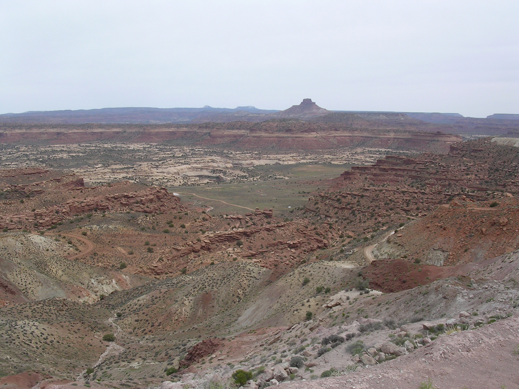
dscn1758.jpg
987.1 KB
Date: April 22, 2005
Description: Farley Canyon and Henry Mountains from Utah Highway 95.
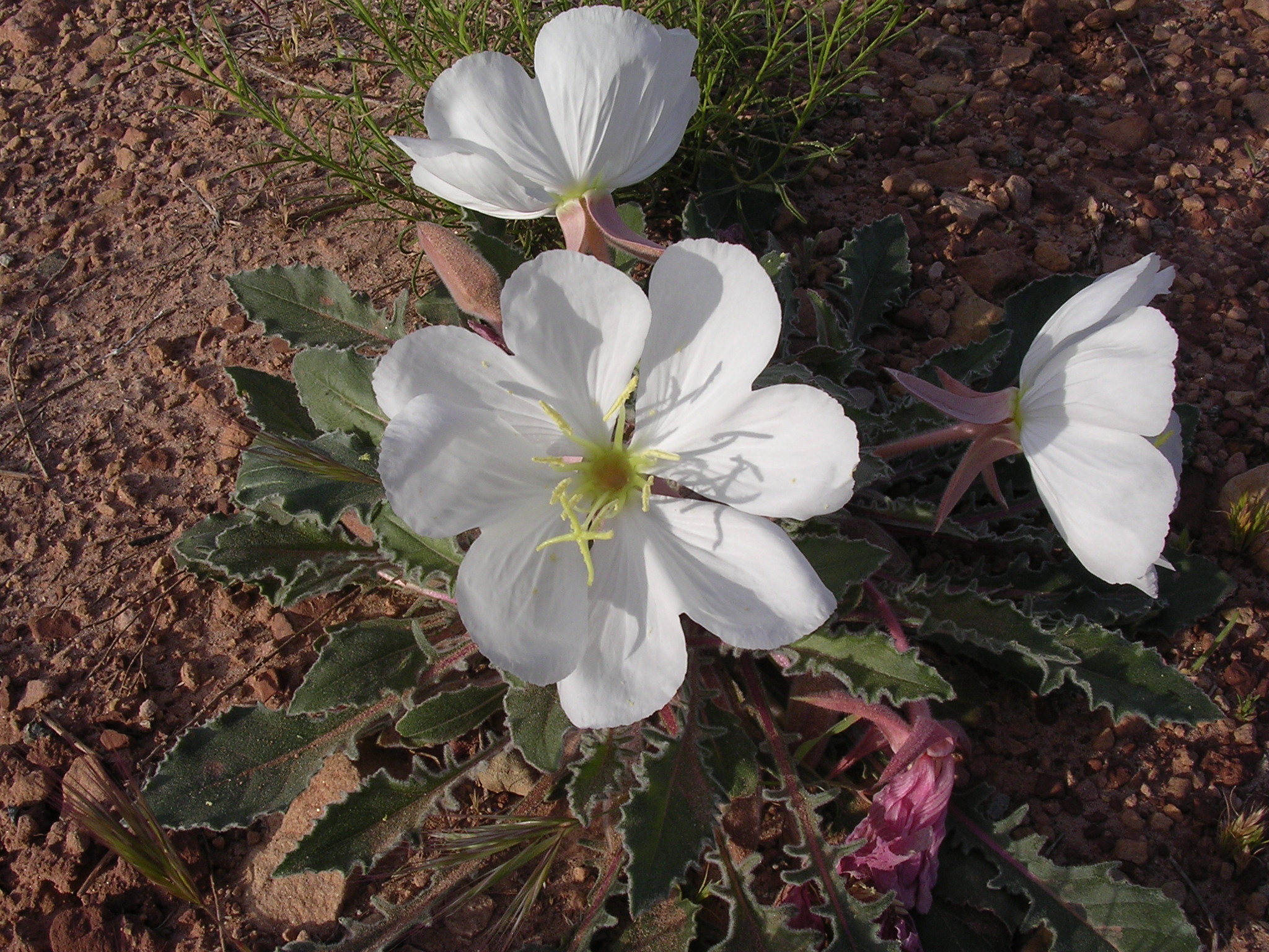
dscn1759.jpg
1025.1 KB
Date: April 22, 2005
Description: Flowers near White Canyon bridge on Utah Highway 95.
dscn1760.jpg
935.5 KB
Date: April 22, 2005
Description: White Canyon, Utah from Highway 95 bridge.
dscn1761.jpg
1096.8 KB
Date: April 24, 2005
Description: Green plants after a wet winter along Utah Highway 276 to Hall's Crossing.
dscn1762.jpg
983.2 KB
Date: April 22, 2005
Description: Utah HIghway 276 to Hall's Crossing.
dscn1763.jpg
970.6 KB
Date: April 22, 2005
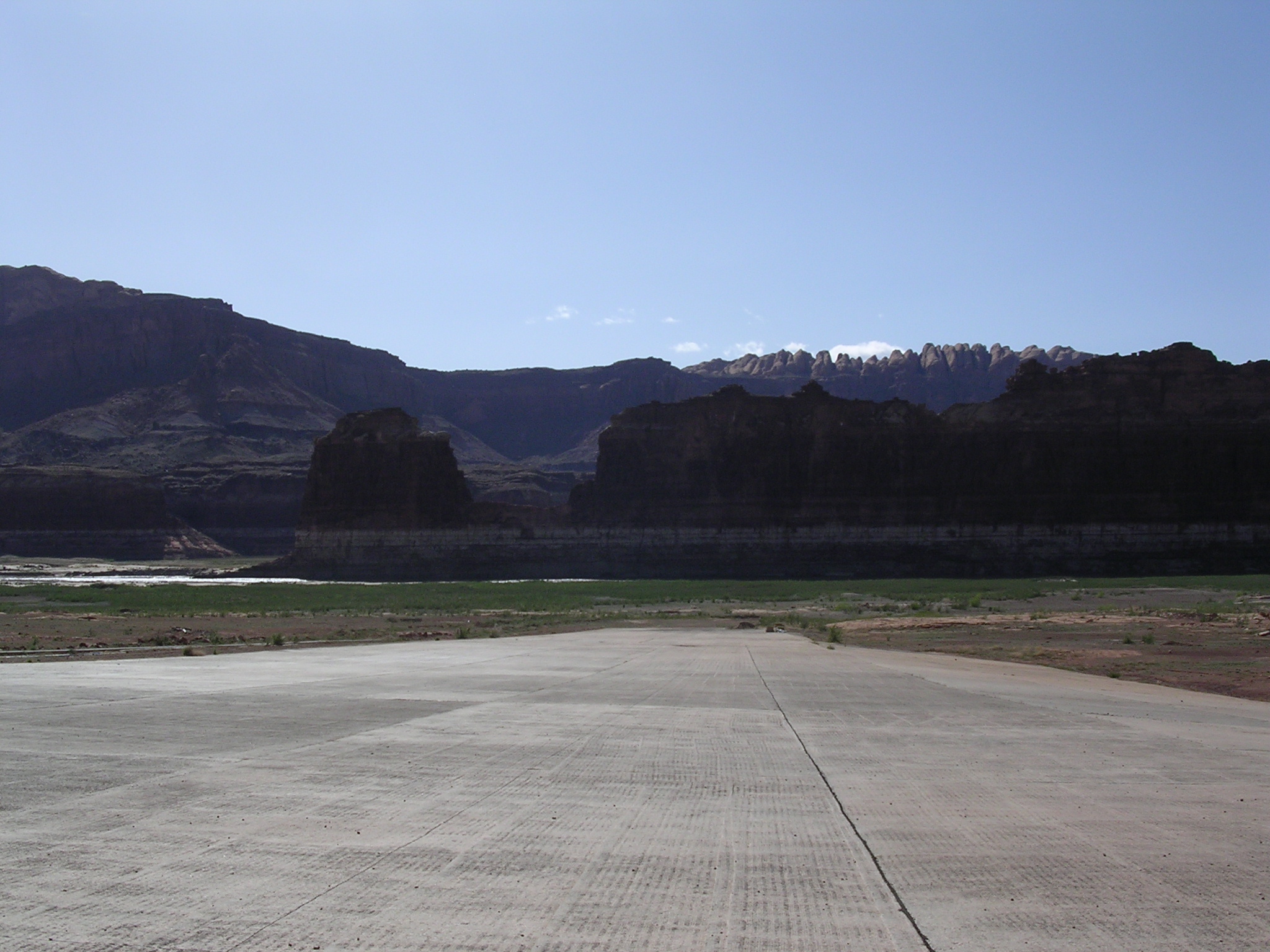
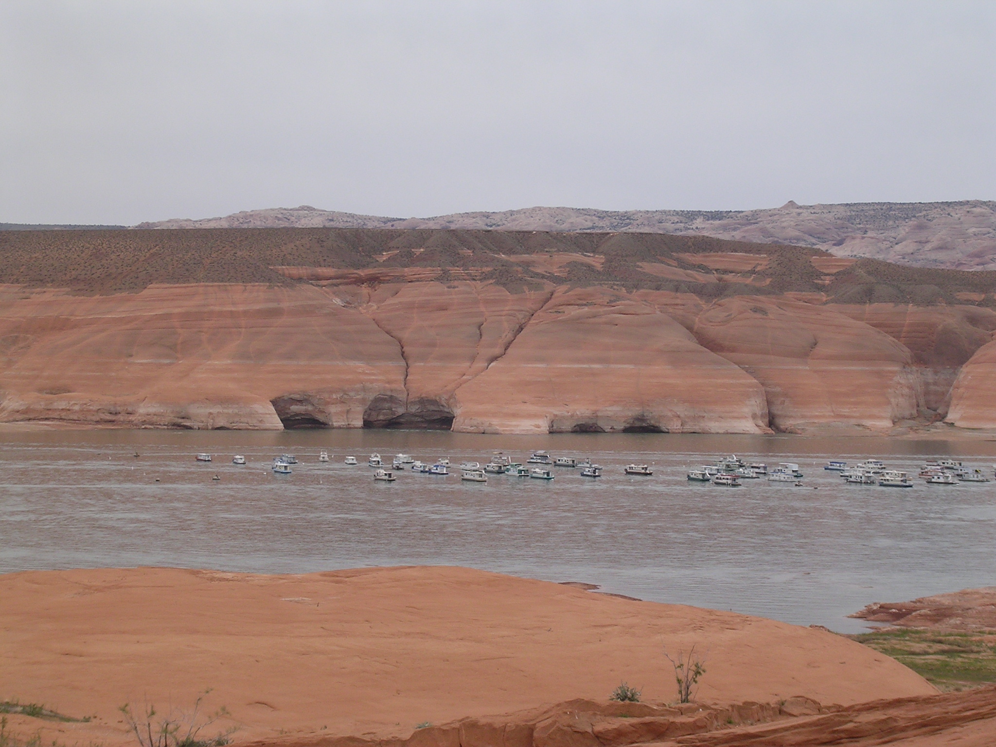
Description: Boat ramp at Hall's Crossing, N 37.46324 W 110.71745, Bullfrog in background.
dscn1764.jpg
938.5 KB
Date: Houseboat on Lake Powell near Hall's Crossing, water level 3558.88 feet.
dscn1765.jpg
925.4 KB
Date: April 22, 2005
Description: Lake Powell west of Hall's Crossing.
dscn1766.jpg
937.5 KB
Date: April 22, 2005
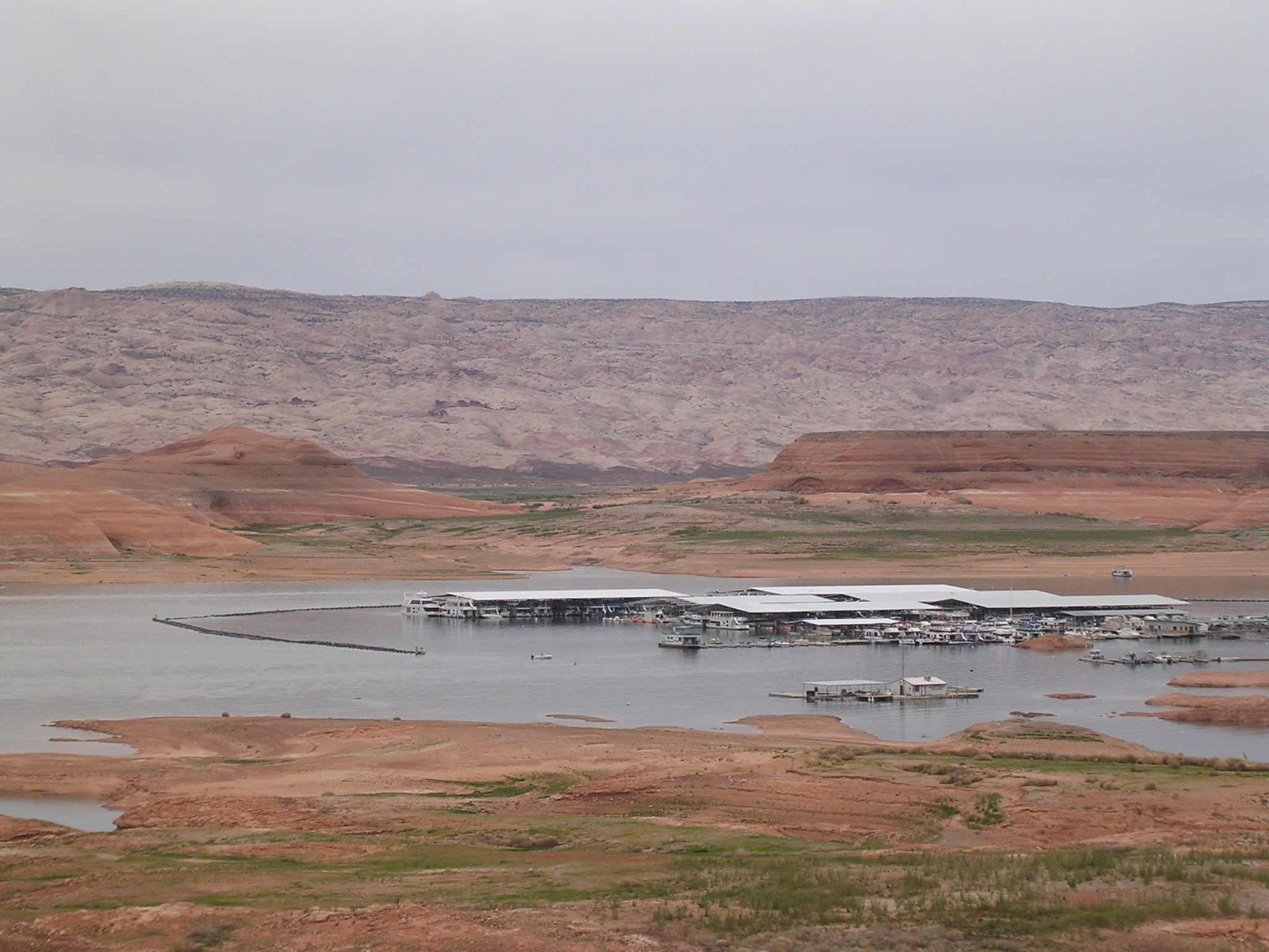
Description: Hall's Crossing boat ramp and Marina. Note navigational light on far right of image.

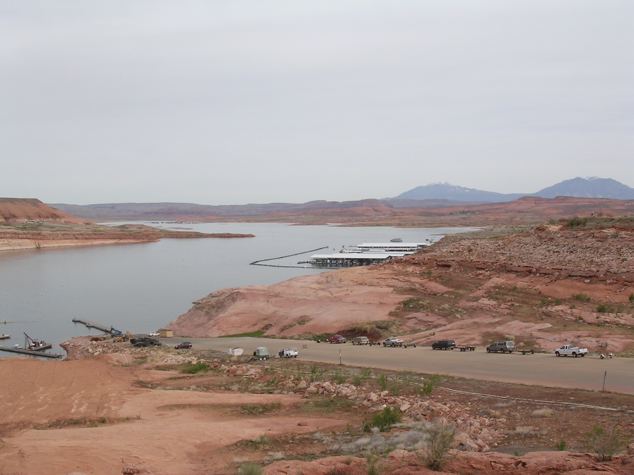
dscn1767.jpg
1005.8 KB
Date: April 22, 2005
Description: Halls Crossing Marina and Bullfrog Basin in the background.

dscn1768.jpg
1036.9 KB
Date: April 22, 2005
Description: Construction work on Hall's Crossing boat ramp.
dscn1769.jpg
1031.4 KB
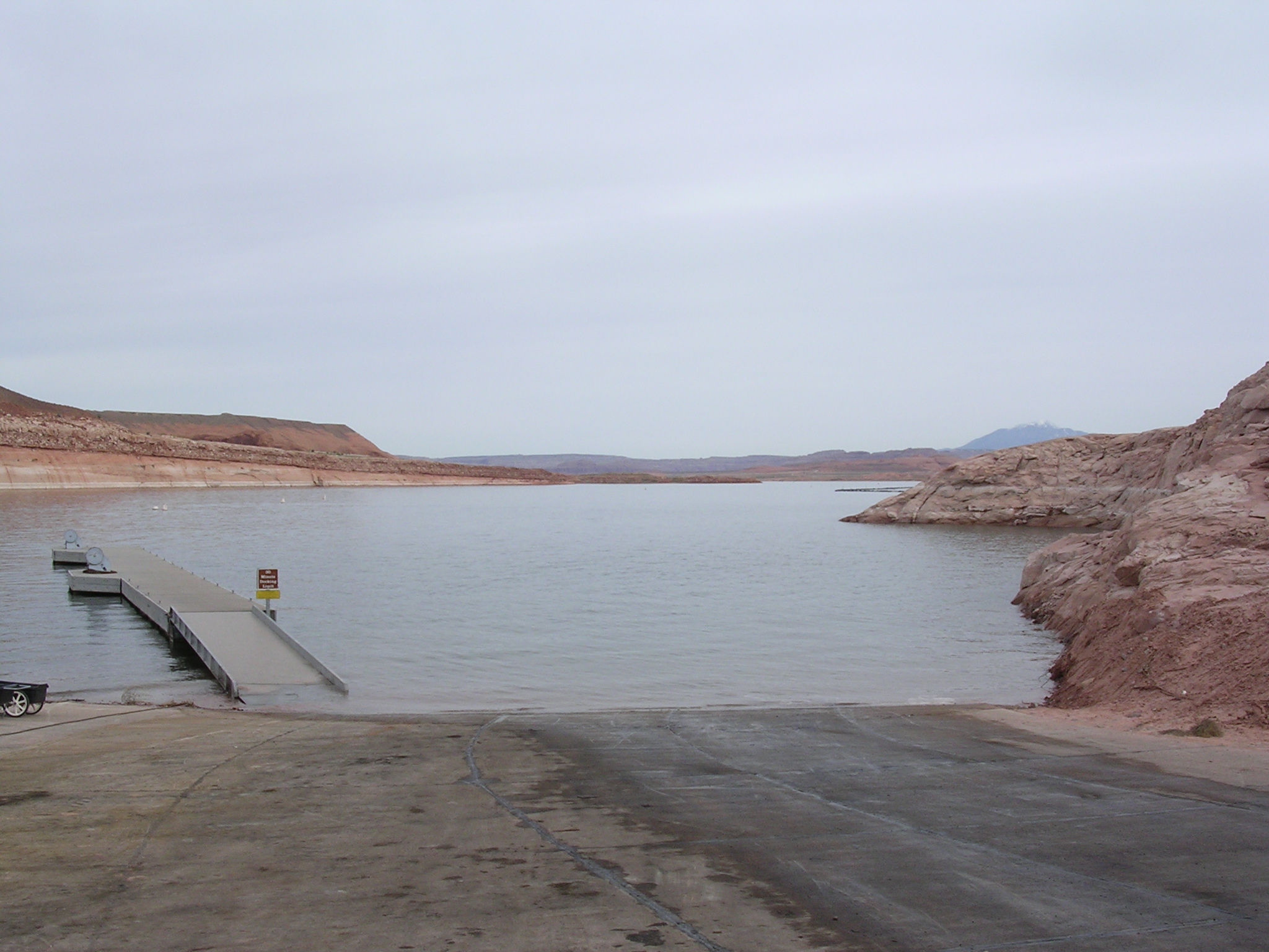
Date: April 22, 2005
Description: The view looking down the steep boat launching ramp at Hall's Crossing.
dscn1770.jpg
950.3 KB
Date: April 22, 2005
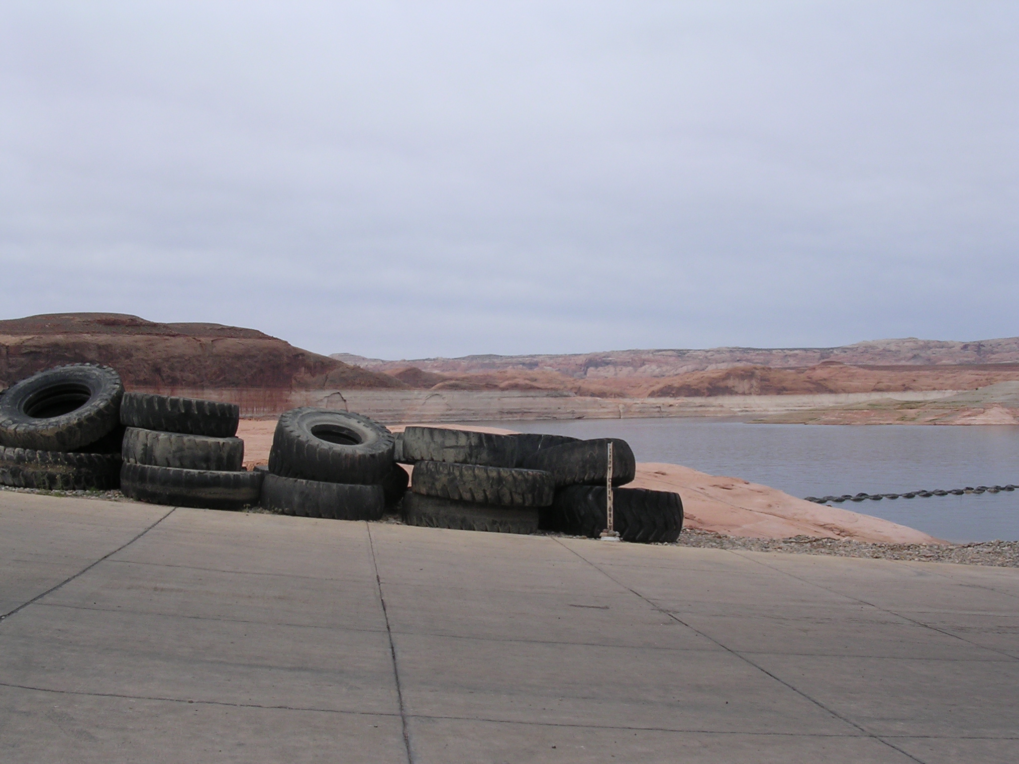
Description: Tires to be used in breakwater at Hall's Crossing boat ramp.
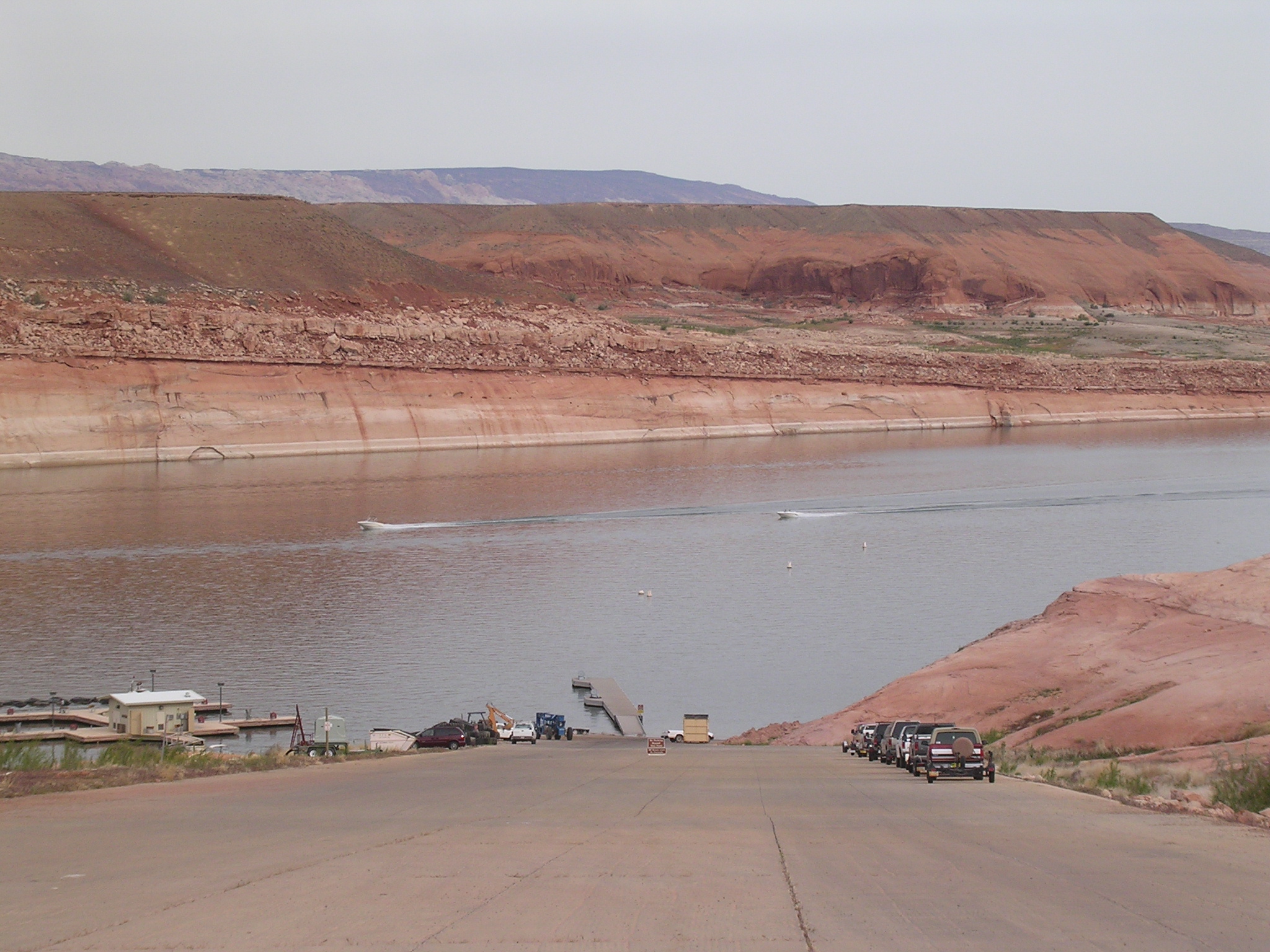
dscn1771.jpg
984.7 KB
Date: April 22, 2005
Description: Hall's Crossing boat ramp (still in the water).
dscn1772.jpg
969.0 KB
Date: April 22, 2005
Description: Boat storage at Hall's Crossing, Utah.

dscn1773.jpg
994.1 KB
Date: April 22, 2005
Description: Looking back at the boat launching ramp at Hall's Crossing from the floating dock.
dscn1774.jpg
952.5 KB
Date: April 22, 2005
Description: Temporary ramp extension for Hall's Crossing marina (formerly located in this cove).
dscn1775.jpg
940.7 KB
Date: April 22, 2005
Description: Floating docks for Hall's Crossing marina now high and dry.

dscn1776.jpg
1090.4 KB
Date: April 22, 2005
Description: Floating docks for Hall's Crossing marina now high and dry.

dscn1777.jpg
957.2 KB
Date: April 22, 2005
Description: Boat ramp extension, utiltity plumbing, and original boat ramp at Hall's Crossing.
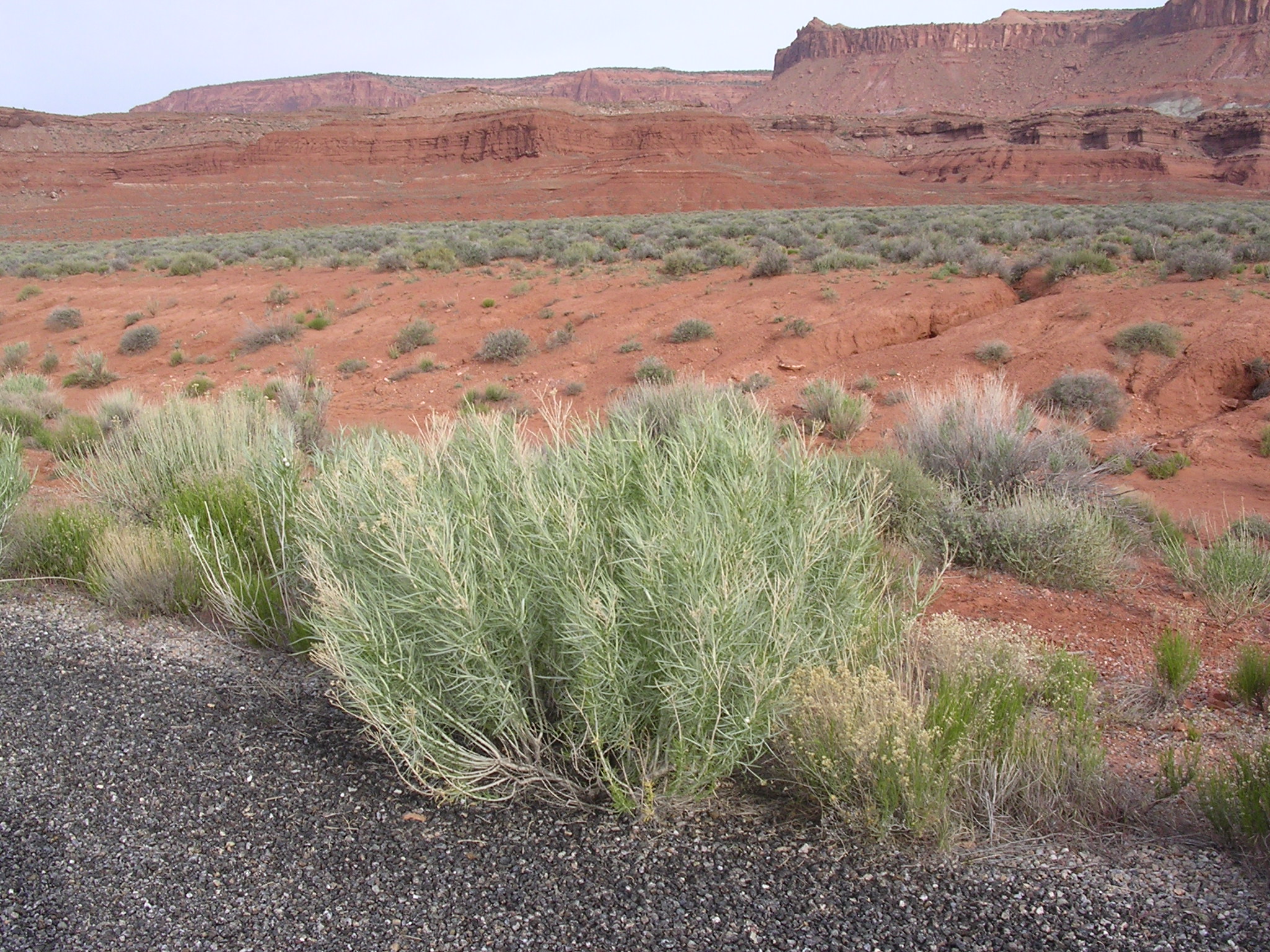
dscn1779.jpg
1009.6 KB
Date: April 22, 2005
Description: The desert in green along Utah Highway 276 near Clay Hills.
dscn1780.jpg
947.6 KB
Date: April 22, 2005
Description: The desert in green along Utah Highway 276 near Clay Hills.
dscn1781.jpg
976.6 KB
Date: April 22, 2005
Description: Sandstone bluffs above Clay Hills Crossing, San Juan River. N 37.29399 W 110.39743 elevation 3725 feet.
dscn1782.jpg
925.5 KB
Date: April 22, 2005
Description: San Juan River boat ramp at Clay Hills Crossing, Navajo Mountain in background.
dscn1783.jpg
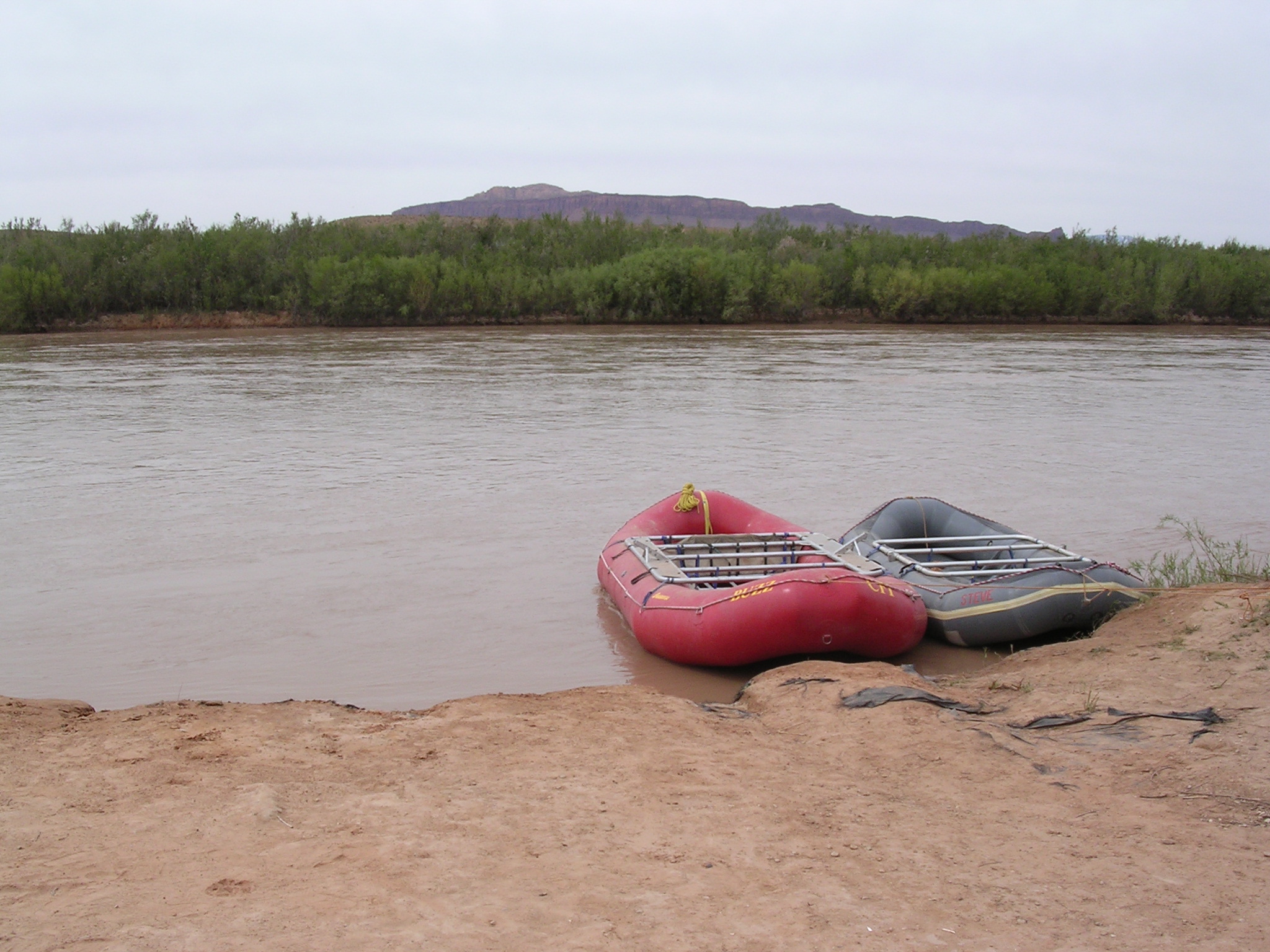
890.9 KB
Date: April 22, 2005
Description: Rafts at Clay Hills Crossing, San Juan River.
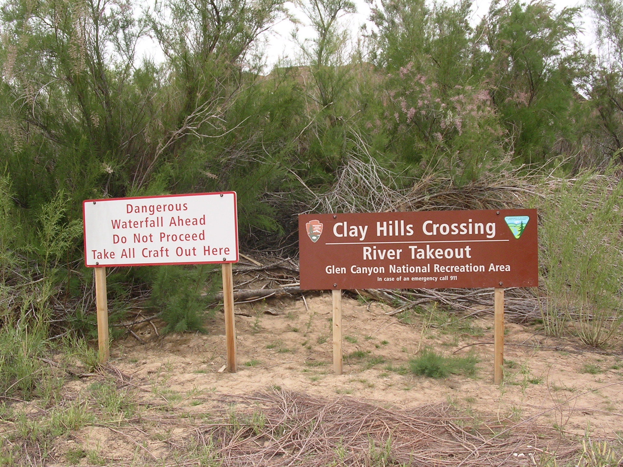
dscn1784.jpg
1117.6 KB
Date: April 22, 2005
Description: Waterfall warning sign at Clay Hills Crossing. Water reported to be 40 feet high at one time.
dscn1785.jpg
964.1 KB
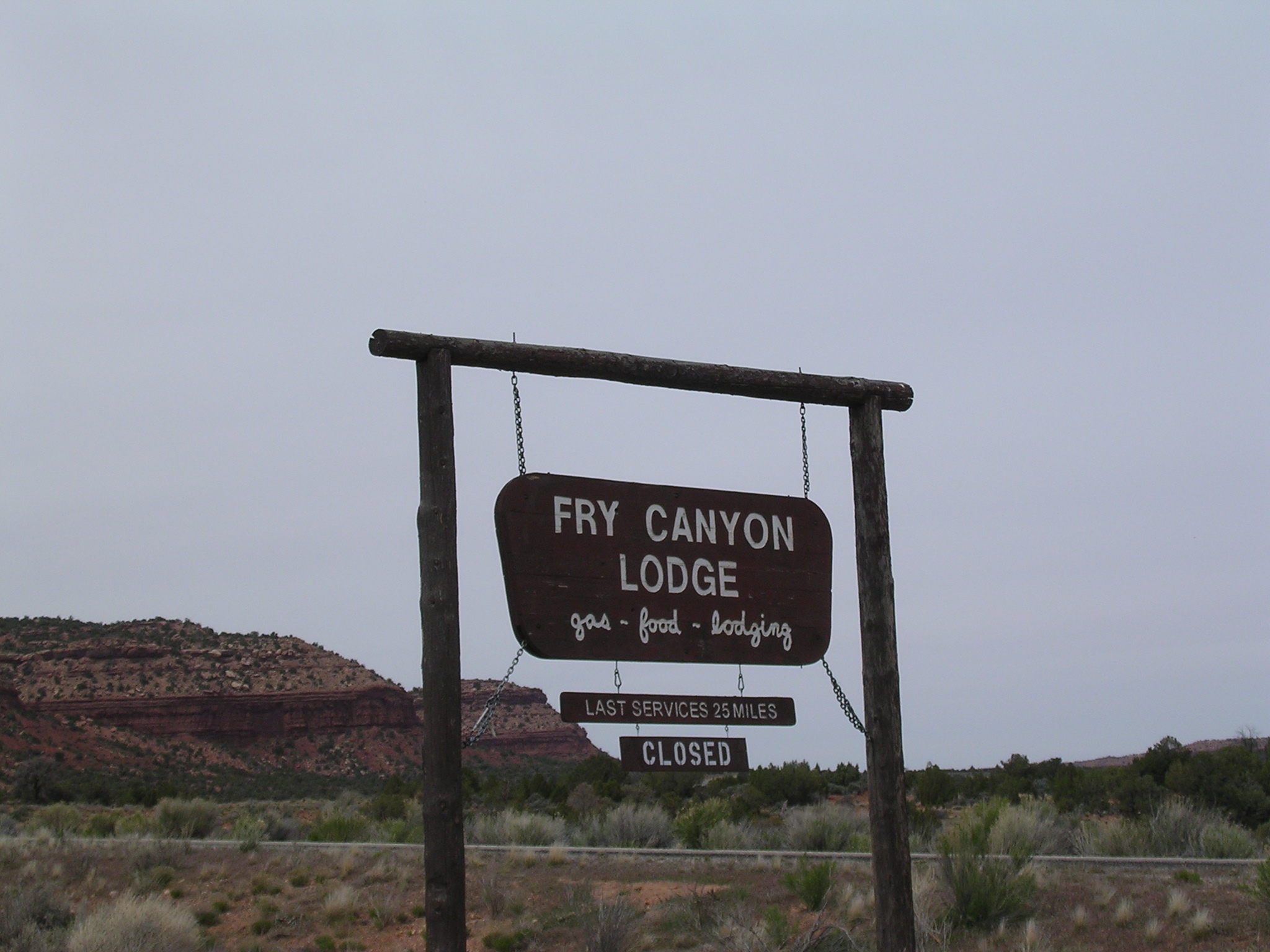
Date: April 22, 2005
Description: Fry Canyon sign.
dscn1786.jpg
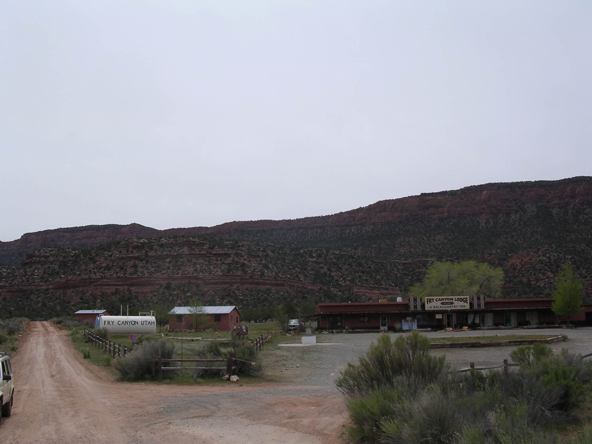
890.7 KB
Date: April 22, 2005
Description: Fry Canyon, Utah.
dscn1788.jpg
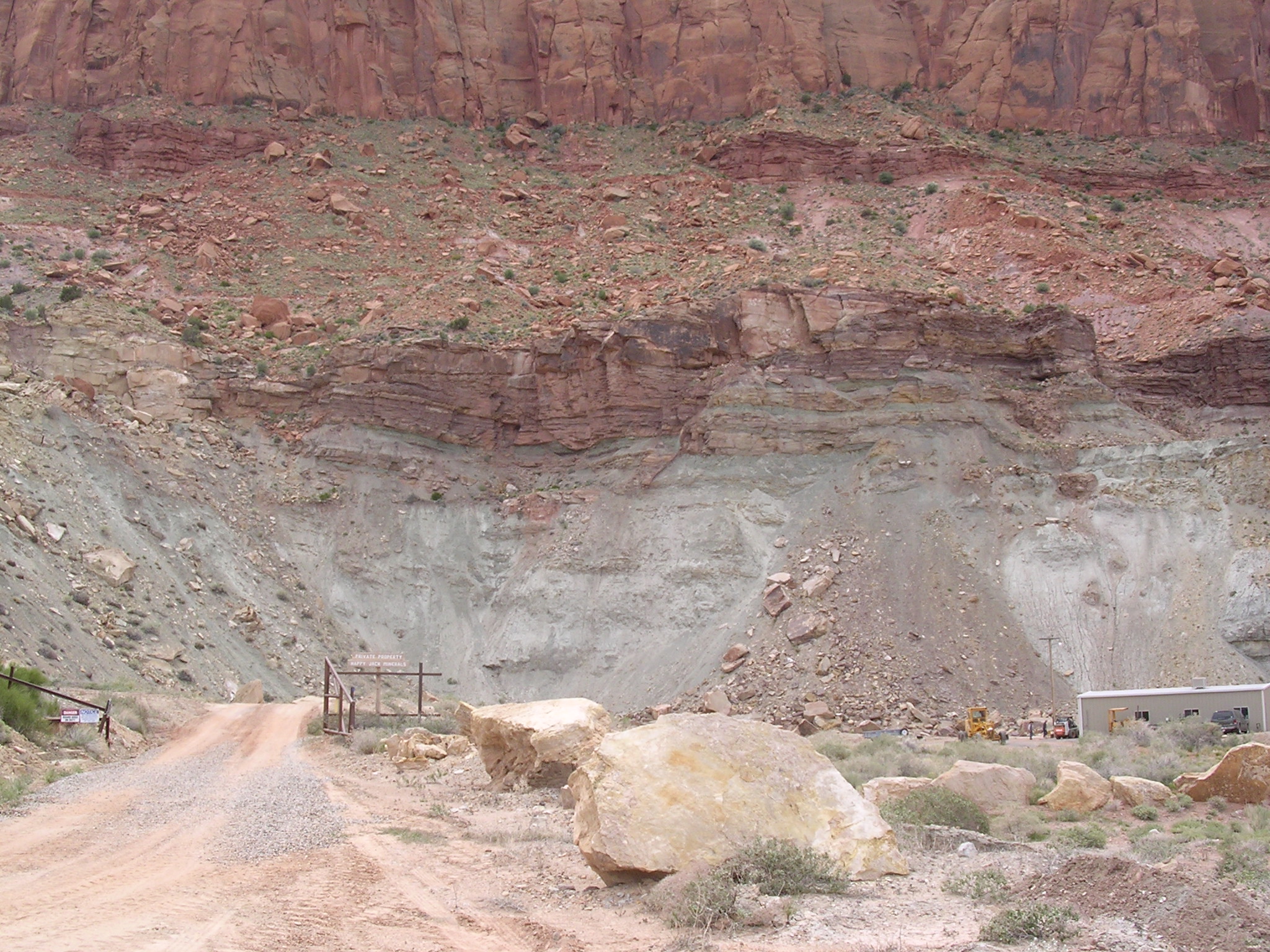
1043.3 KB
Date: April 22, 2005
Description: Happy Jack Mine, along Utah Highway 95 between Hite and Fry Canyon.
dscn1789.jpg
1009.7 KB
Date: April 22, 2005
Description: Sandstone bluffs seen from Blue Notch N 37.76672 W 110.30625 elevation 5374 feet.
dscn1790.jpg
905.5 KB
Date: April 22, 2005. The view looking west from Blue Notch to Blue Notch Canyon and Lake Powell.
dscn1791.jpg
962.5 KB
Date: April 22, 2005
Description: The view looking east from Blue Notch, Utah Highway 95 in the middle distance.
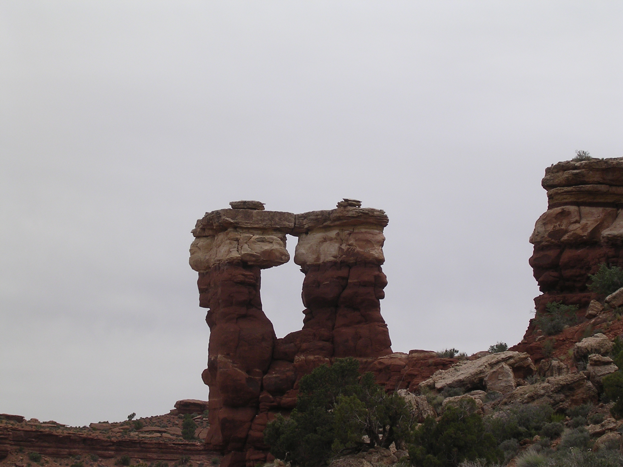
dscn1792.jpg
908.1 KB
Date: April 22, 2005
Description: Possible arch near road to Blue Notch, Utah.
dscn1793.jpg
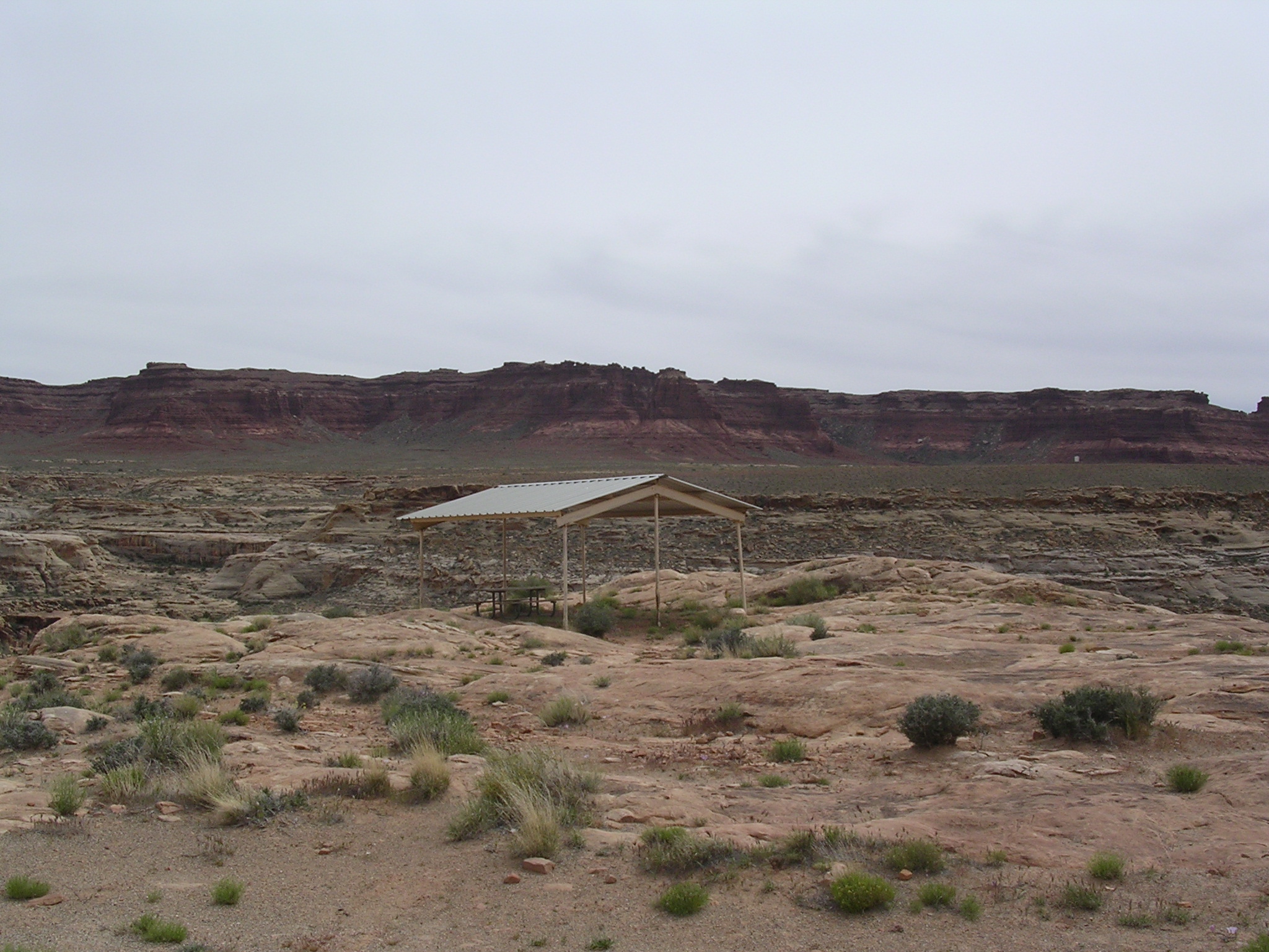
968.9 KB
Date: April 22, 2005
Description: Picnic shelter near Hite airstrip.
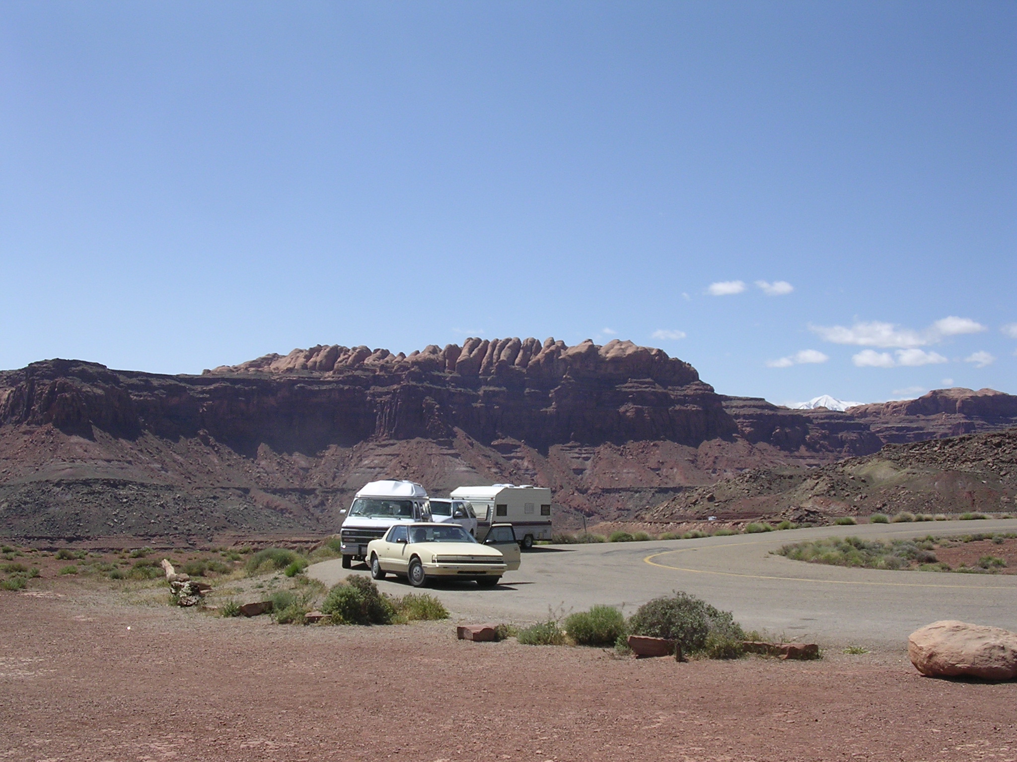
dscn1794.jpg
969.9 KB
Date: April 22, 2005
Description: The Colorado river just below Narrow Canyon bridge, seem from the Hite airstrip.
dscn1795.jpg
1004.0 KB
Date: April 22, 2005
Description: Narrow Canyon bridge and Utah Highway 95 seen from the Hite airstrip.
dscn1796.jpg
967.6 KB
Date: April 22, 2005
Description: Slumping bank of eroded sediment near temporary Hite boat ramp.
dscn1797.jpg
1066.1 KB
Date: April 22, 2005
Description: Slumping bank of eroded sediment near temporary Hite boat ramp.
dscn1798.jpg
1010.5 KB
Date: April 22, 2005
Description: The view looking downstream (southwest) from near the temporary Hite boat ramp.
dscn1799.jpg
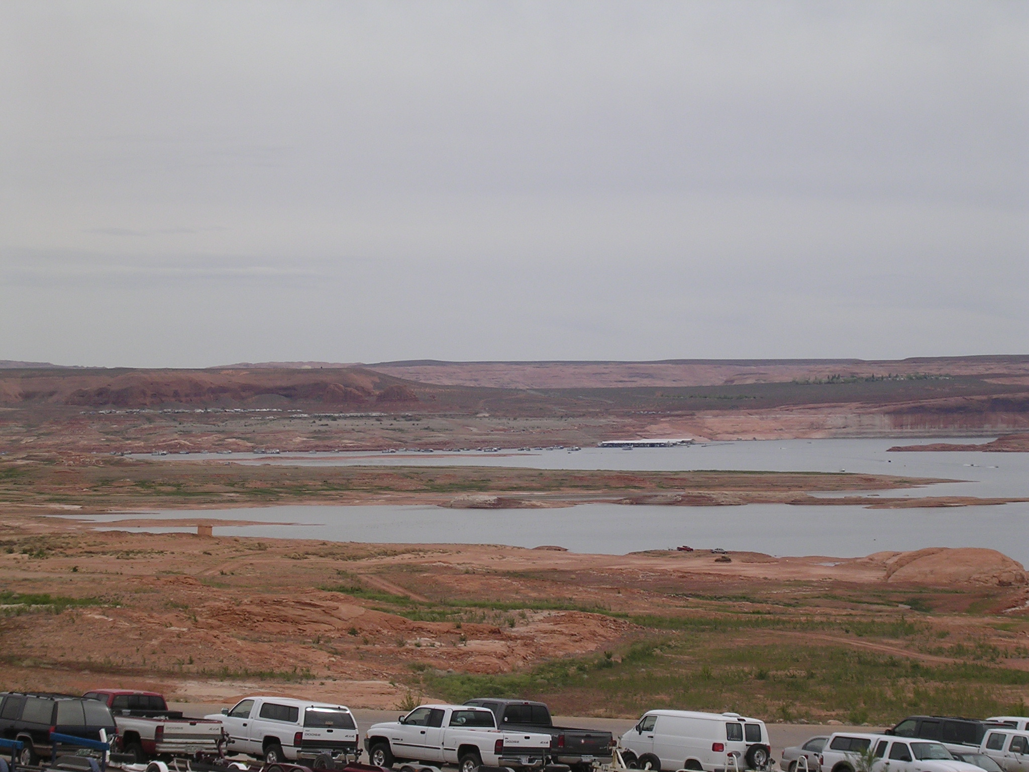
939.0 KB
Date: April 22, 2005
Description: Boat ramp at Bullfrog, Utah. N 37.51574 W 110.73087 elevation 3725 feet, water level 3558.88 feet.
dscn1800.jpg
894.2 KB
Date: April 22, 2005
Description: Houseboats in Bullfrog Bay, Utah.
dscn1801.jpg
961.5 KB
Date: April 22, 2005
Description: Parking on boat ramp, Bullfrog Bay, Hall's Crossing in background.
dscn1802.jpg
942.2 KB
Date: April 22, 2005
Description: Hall's Crossing, Utah seen from Bullfrog, Utah.
dscn1803.jpg
969.1 KB
Date: April 22, 2005
Description: Houseboats anchored in Bullfrog Bay, Utah.

dscn1804.jpg
940.2 KB
Date: April 22, 2005
Description: Boat storage in Bullfrog Bay, Utah.
dscn1805.jpg
911.8 KB
Date: April 22, 2005
Description: Boat storage at Bullfrog Bay, Utah.
dscn1806.jpg
1029.3 KB
Date: April 22, 2005
Description: Boat ramp at Bullfrog, Utah. Compare to Box 44, slide 1.
dscn1807.jpg
903.9 KB
Date: April 22, 2005
Description: Preparing to launch a house boat at Bullfrog.
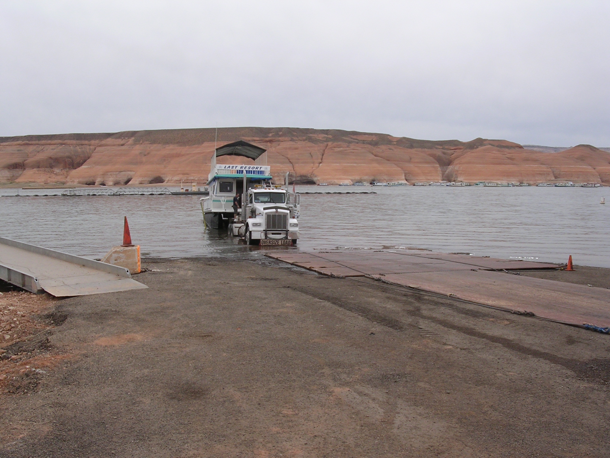
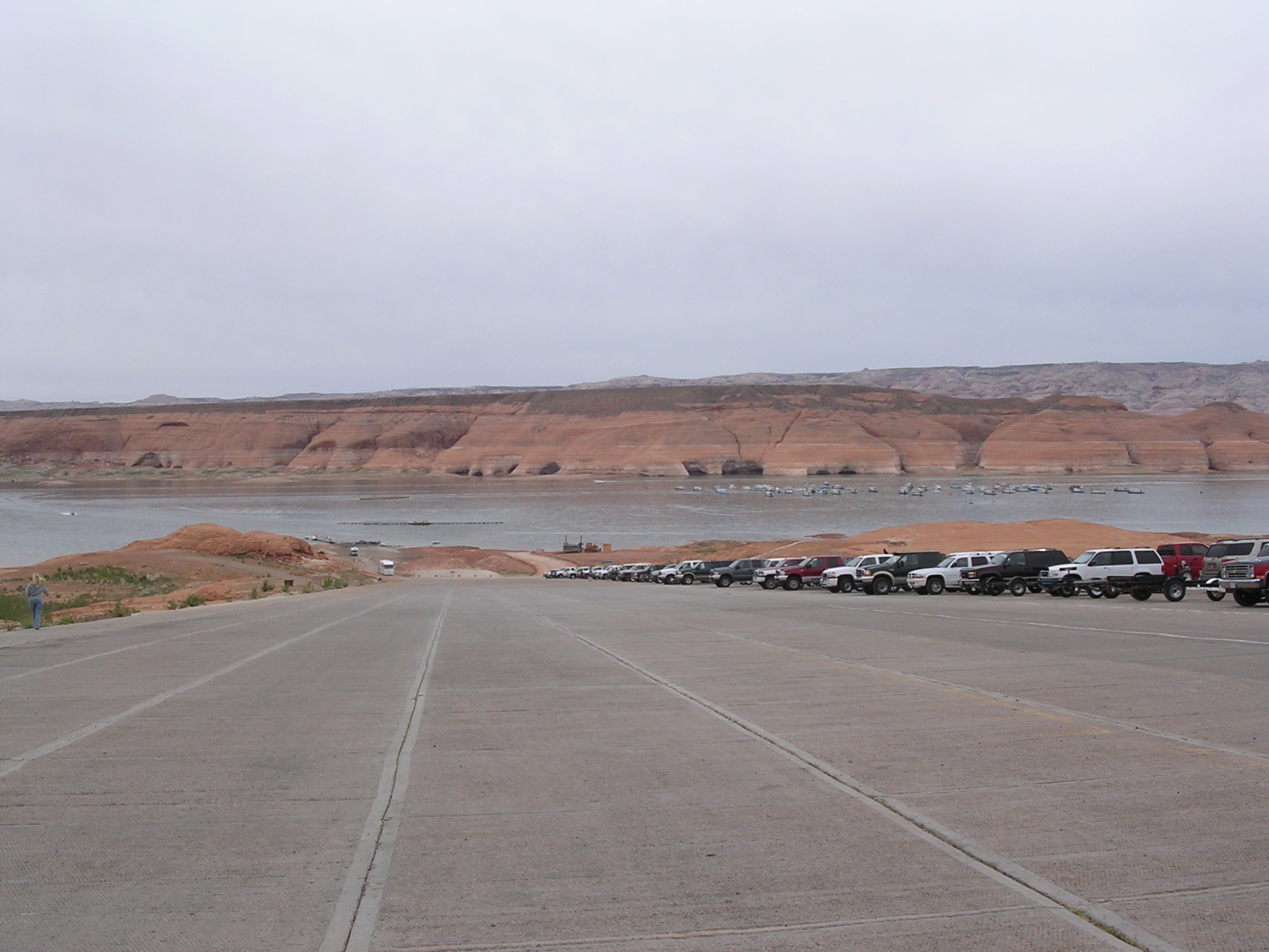
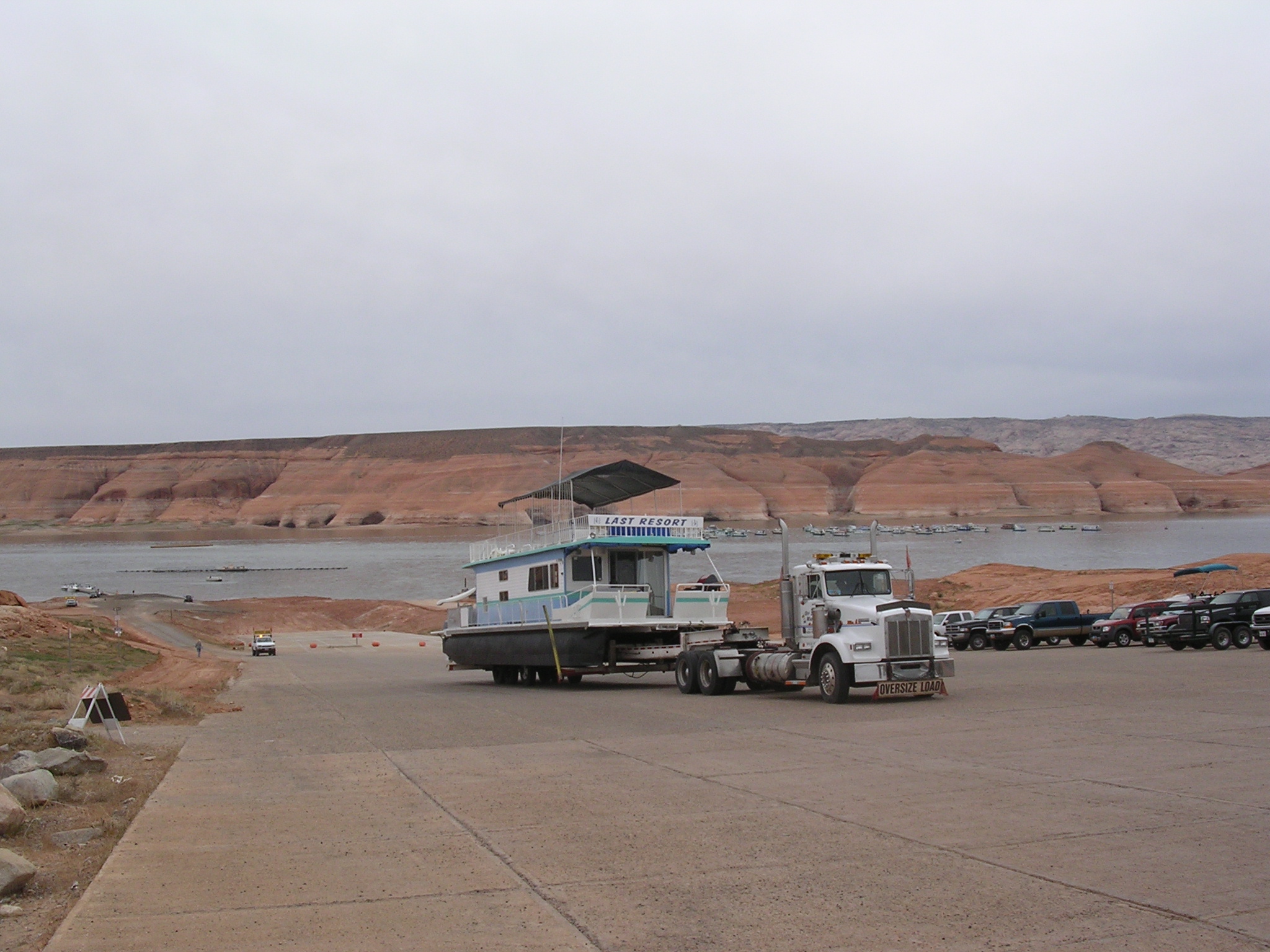
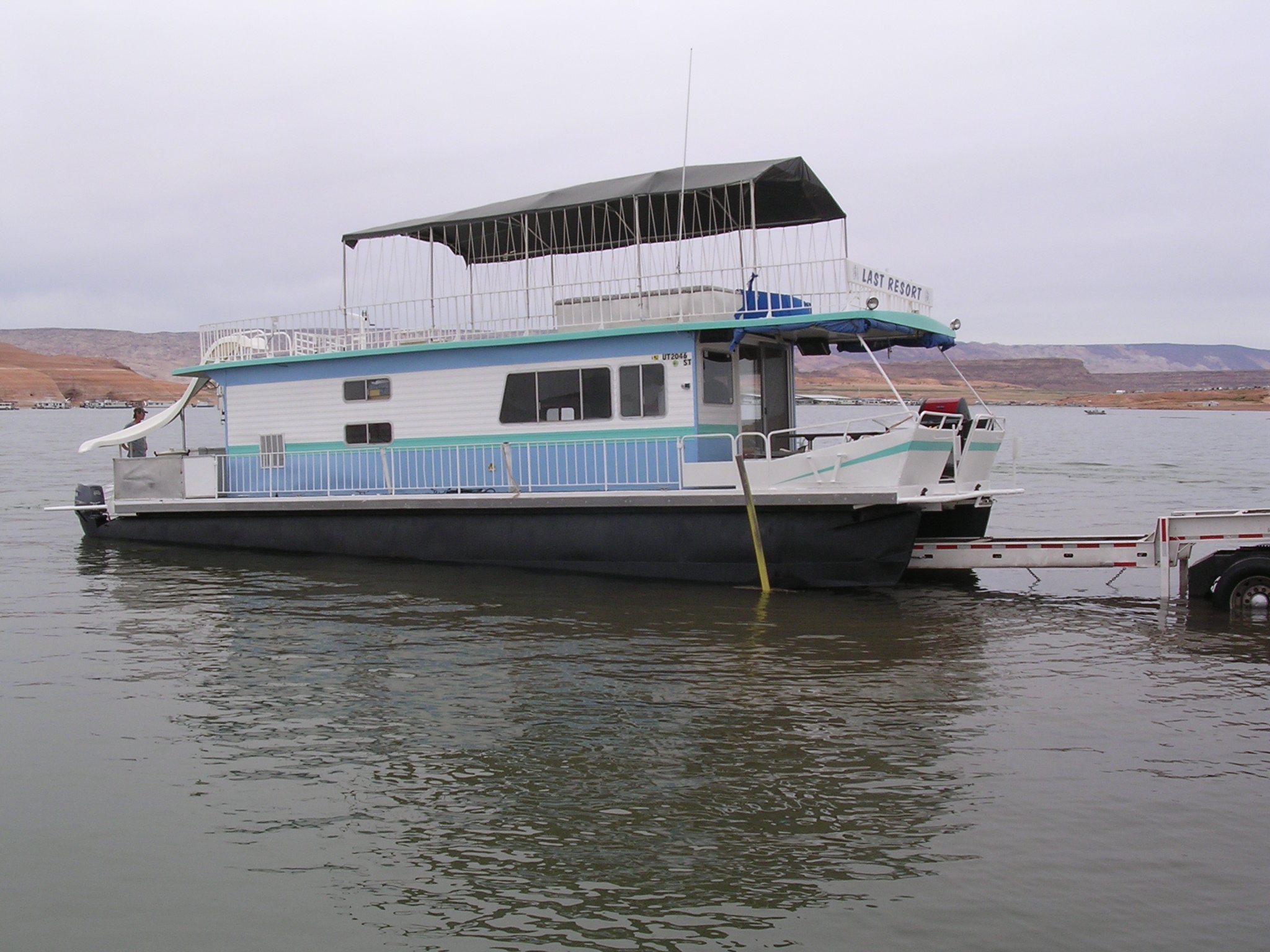
dscn1808.jpg
940.8 KB
Date: April 22, 2005
Description: Houseboat launching.
dscn1809.jpg
977.1 KB
Date: April 22, 2005
Description: Houseboat launching.
dscn1810.jpg
1004.3 KB
Date: April 22, 2005
Description: The ferry ramp at Bullfrog, Utah.

dscn1811.jpg
949.4 KB
Date: April 22, 2005
Description: The view looking up the boat ramp at Bullfrog, Utah from near the current water level.
dscn1812.jpg
943.1 KB
Date: April 22, 2005
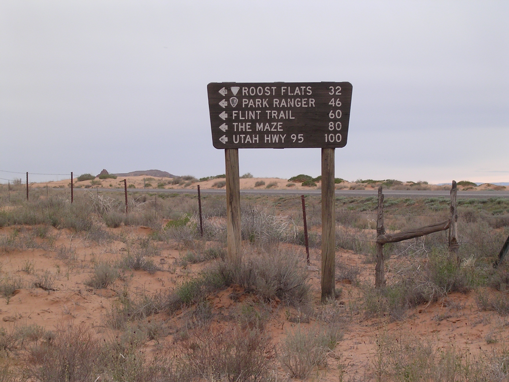
Description: Sign at the Utah Highway 24 turnoff for the Maze district of Canyonlands just south of the Gobblin Valley turnoff.
dscn1813.jpg
1003.7 KB
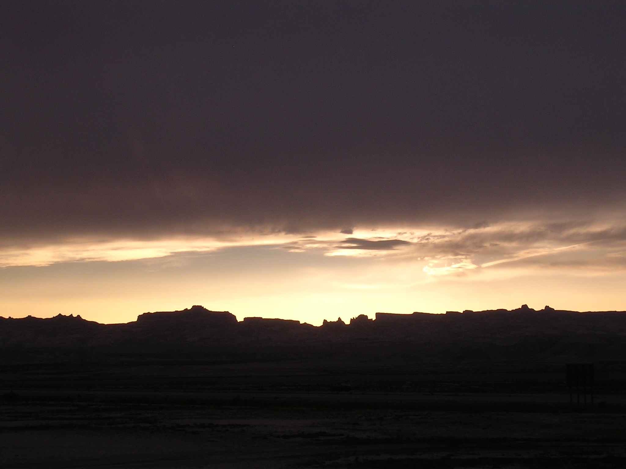
Date: April 22, 2005
Description: Sunset over the San Rafael Swell seen from the intersection of US 6 and Interstate 70 near Green River, Utah.
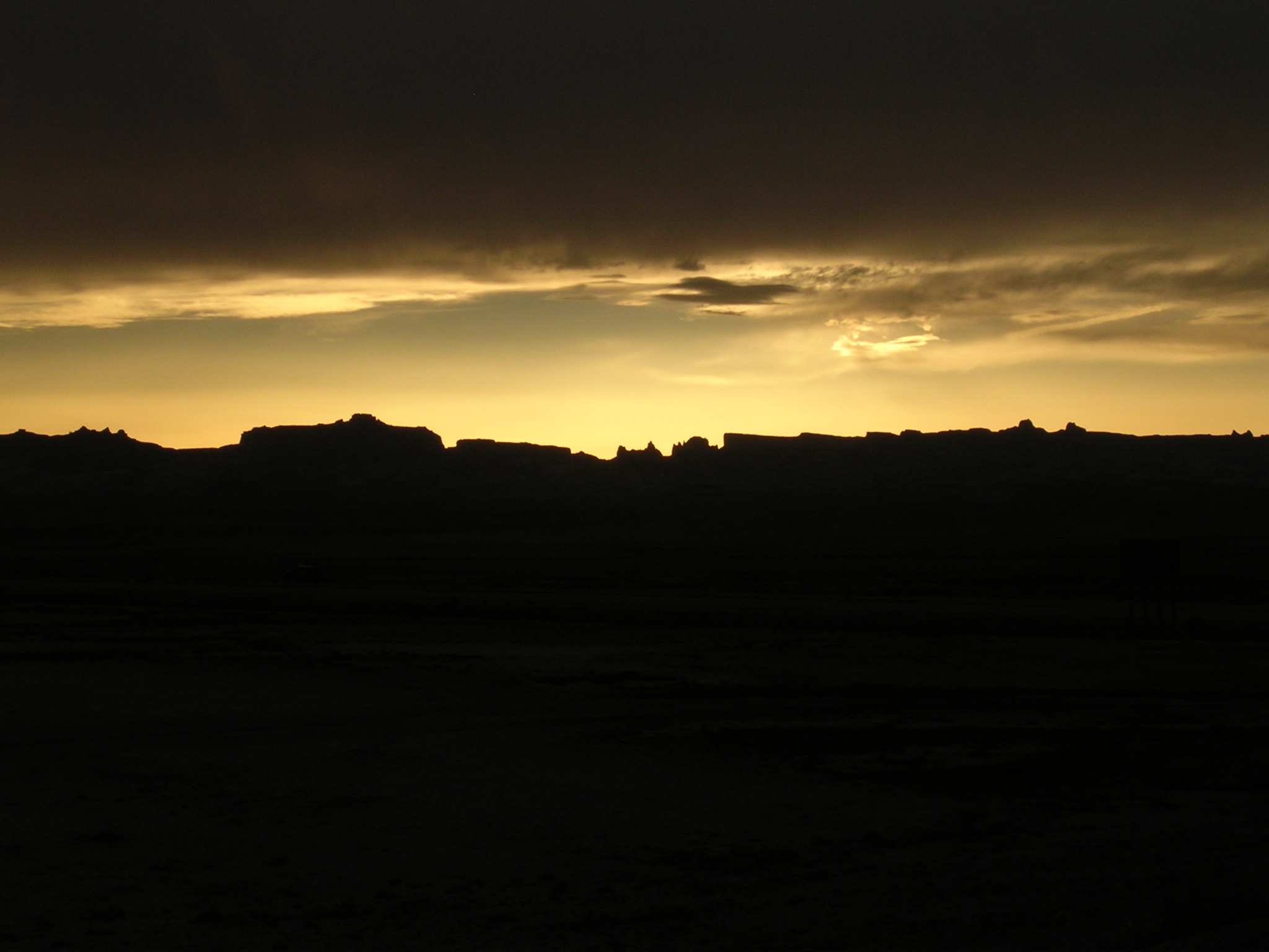
dscn1814.jpg
847.0 KB
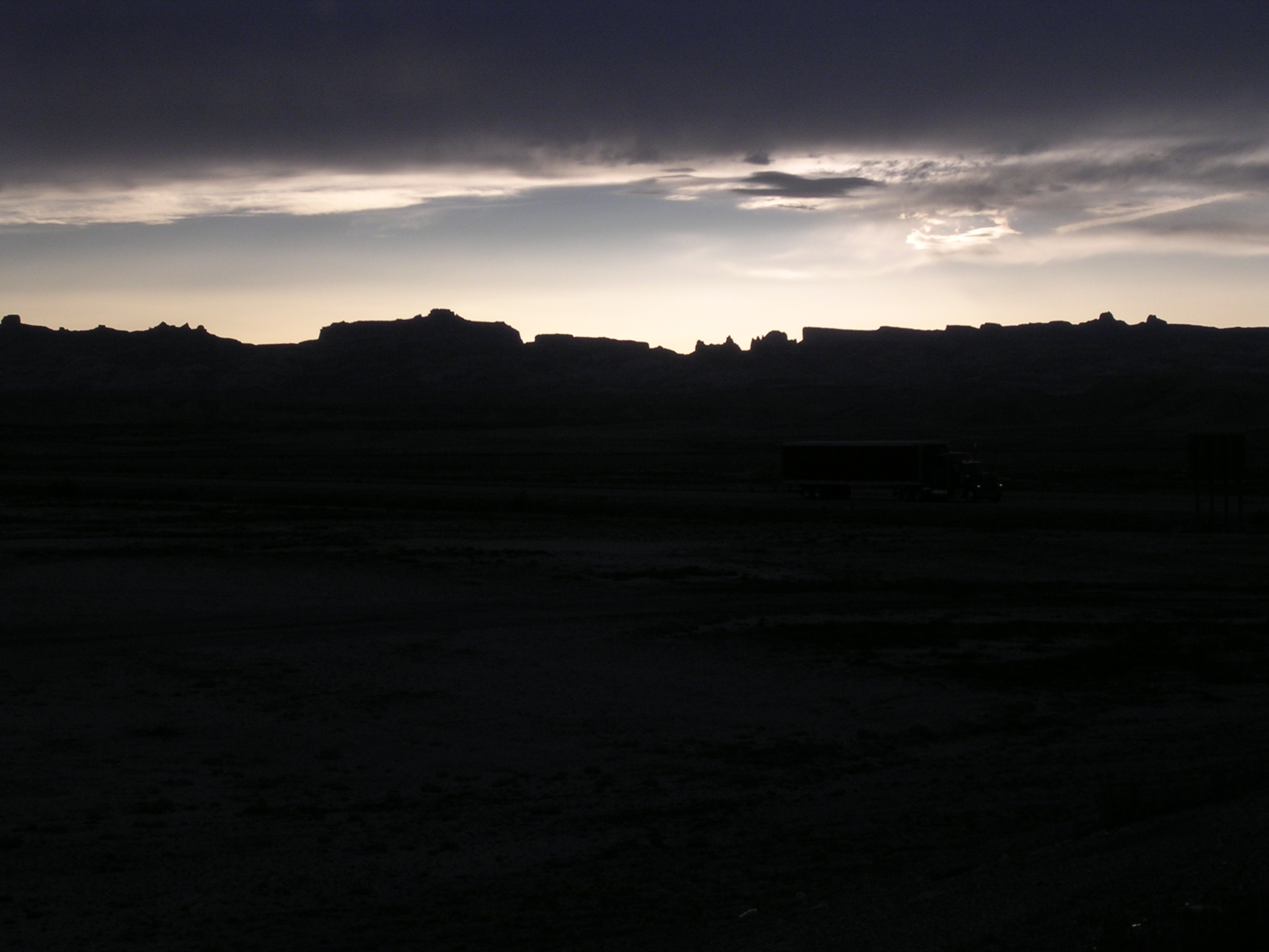
Date: April 22, 2005
Description: Sunset over the San Rafael Swell.
dscn1815.jpg
795.2 KB
Date: April 22, 2005
Description: Sunset over the San Rafael Swell.

dscn1816.jpg
1020.8 KB
Date: April 22, 2005
Description: Sunset on the Beckwith Plateau near Woodside, Utah.
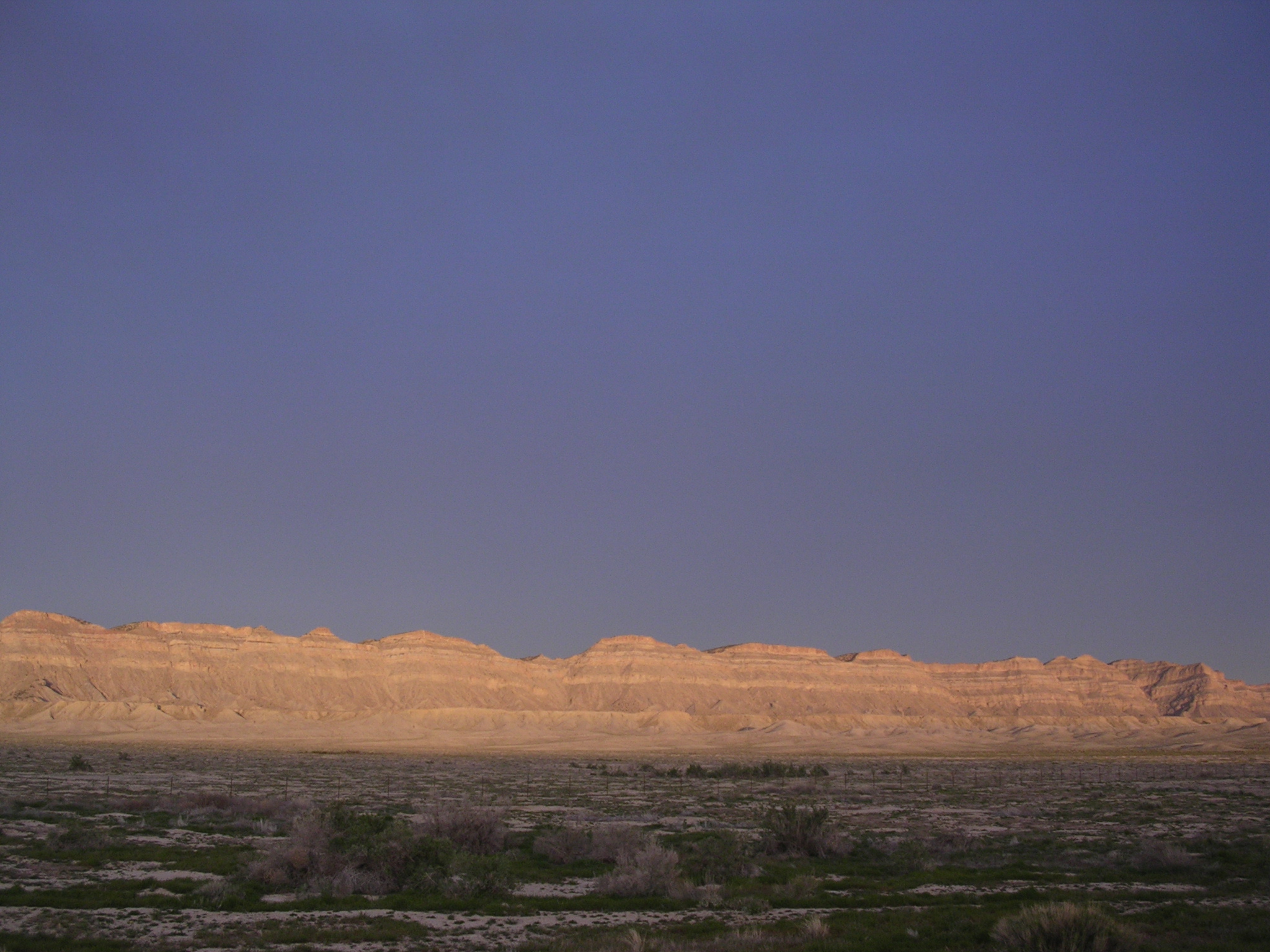
dscn1817.jpg
1023.4 KB
Date: April 22, 2005
Description: Sunset on the Book Cliffs near Woodside, Utah.

dscn1818.jpg
1033.2 KB
Date: April 22, 2005
Description: Sunset on the Book Cliffs near Woodside, Utah.
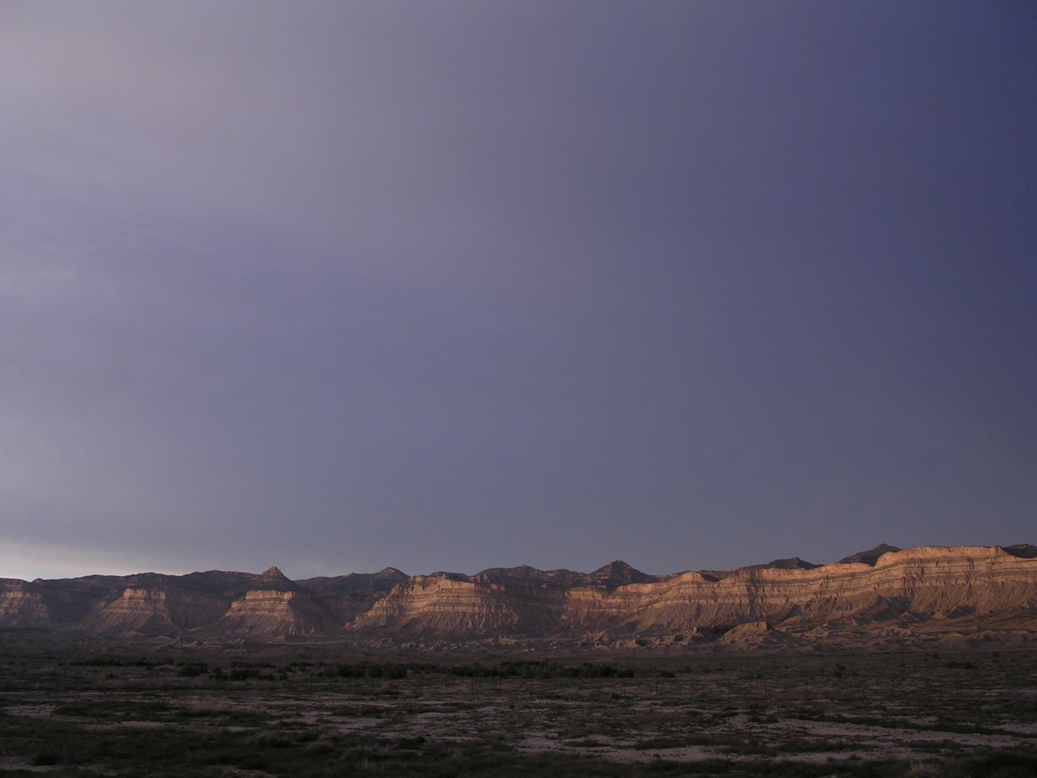
dscn1819.jpg
1084.2 KB
Date: April 22, 2005
Description: Sunset on the Book Cliffs near Woodside, Utah.